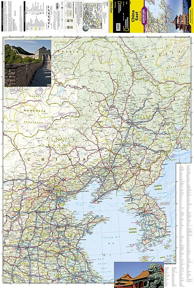
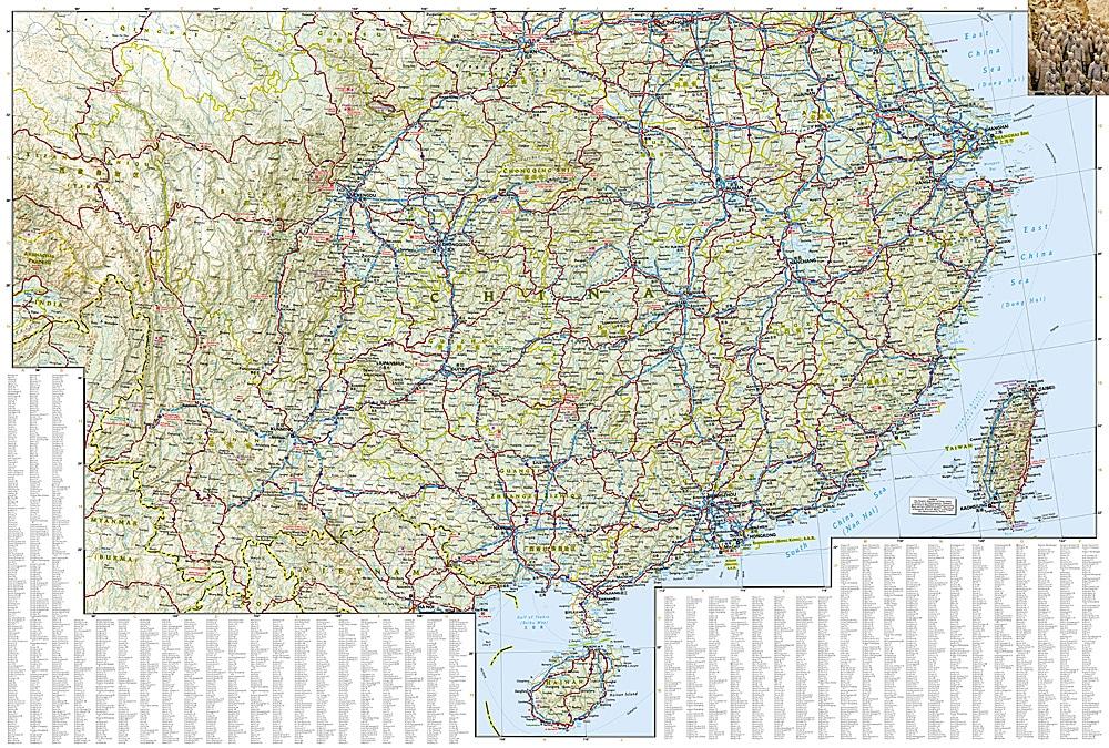
ISBN/EAN : 9781566955935
Publication date: 2011
Scale: 1/2 950 000 (1 cm = 29.5 km)
Printed sides: both sides
Folded dimensions: 23.5 x 10.7 x 0.8cm
Unfolded dimensions: 96 x 65cm
Language(s): English
Weight:
89 g
Over 19,000 maps and travel guides, hiking maps, posters, globes, and decor in stock!
Over 19,000 maps and travel guides, hiking maps, posters, globes, and decor in stock!
Delivery at €2.90 for all orders between €30 and €50 (folded maps and guides, mainland France)
Delivery at €2.90 for all orders between €30 and €50 (folded maps and guides, mainland France)
Free delivery for all orders > €50 (folded maps and guides, mainland France)
Free delivery for all orders > €50 (folded maps and guides, mainland France)
-
Travel maps
-
Hiking
-
Wall maps
-
-
Travel accessories
-
-
Your cart is currently empty.
We accept
© 2025
La Compagnie des Cartes - Le voyage et la randonnée
General terms and conditions of salePrivacyRequest for access to personal data


