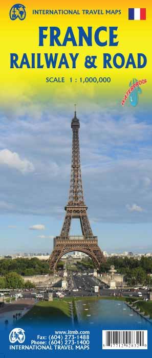
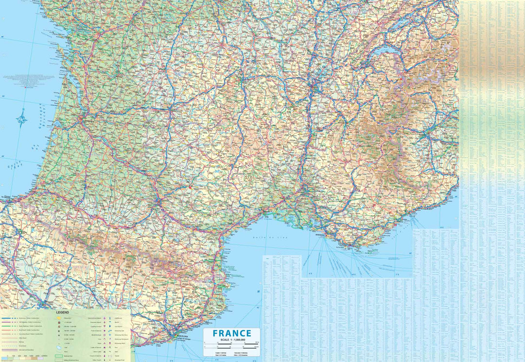
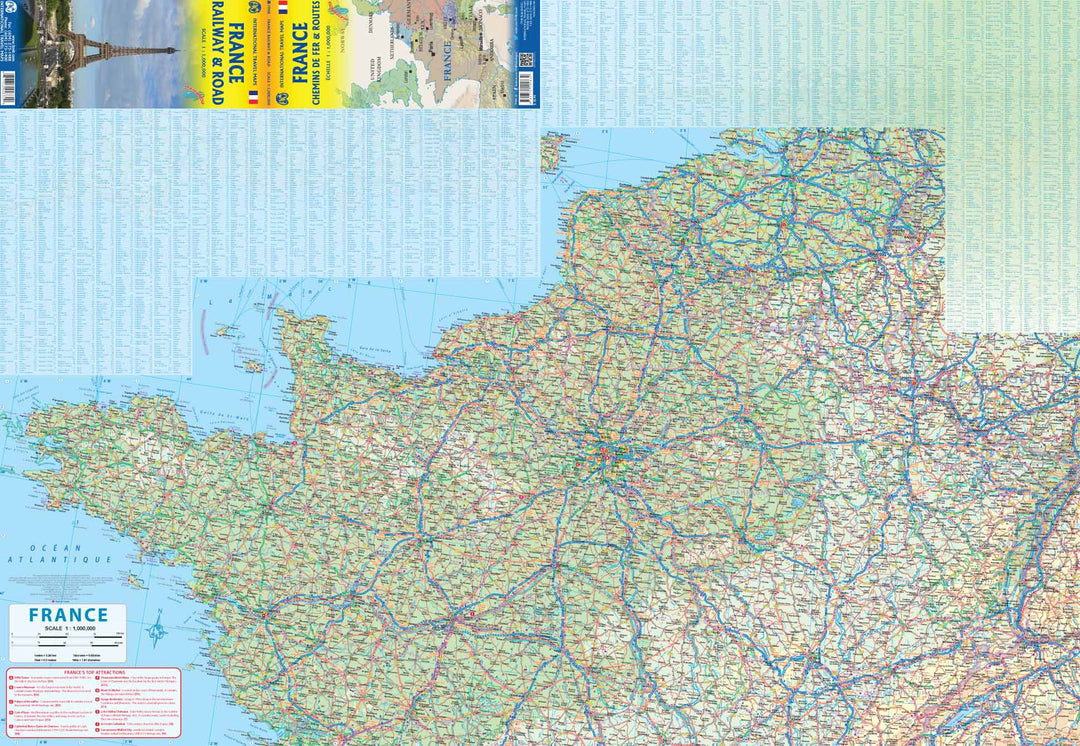
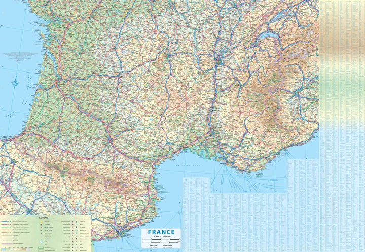
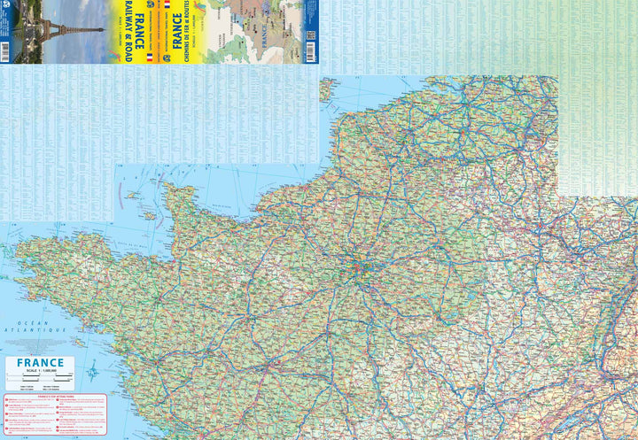
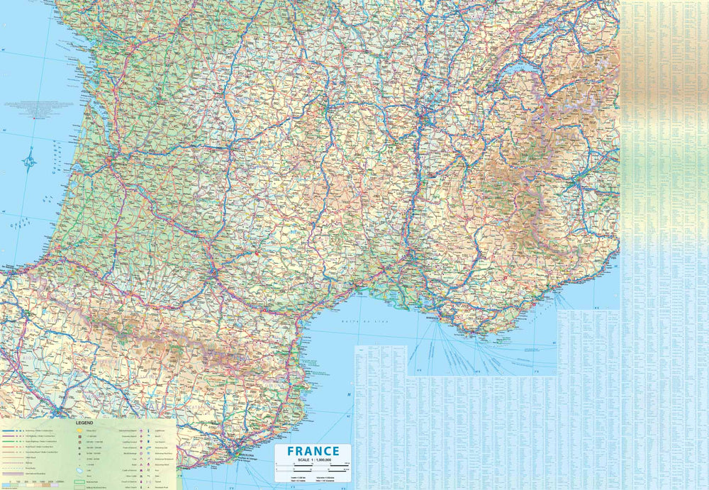
Detailed map of the roads and railways of France published by ITM. The map is double - sided with a north - south cutting.
1 / 1,000,000 scale (1 cm = 10 km).
The legend includes: highway, toll highway, main road, highway, railway, ferry road, international border, international airport, domestic airport, point of interest, cave, lighthouse, beach, gas station, etc.
This map is waterproof and tearing resistant .
ISBN/EAN : 9781771292832
Publication date: 2019
Scale: 1/1,000,000 (1cm=10km)
Printed sides: both sides
Folded dimensions: 24.6 x 10.3 x 0.5cm
Language(s): English
Weight:
54 g


