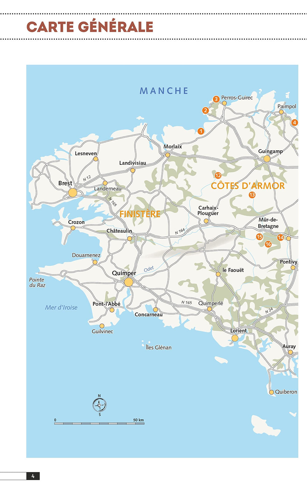
Road map of Brittany / Breizh, in Breton | Blay Foldex
Regular price
$14.00
Regular price
Sale price
$14.00
Save $-14
/
- Shipping within 24 working hours from our warehouse in France
- Delivery costs calculated instantly in the basket
- Free returns (*)
- Real-time inventory
- In stock, ready to ship
Related geographic locations and collections: Blay-Foldex – Foldable City Maps and Wall Maps, Brittany, Finistère (department 29), Ille-et-Vilaine (department 35), Loire-Atlantique (department 44), Morbihan (department 56), New products