
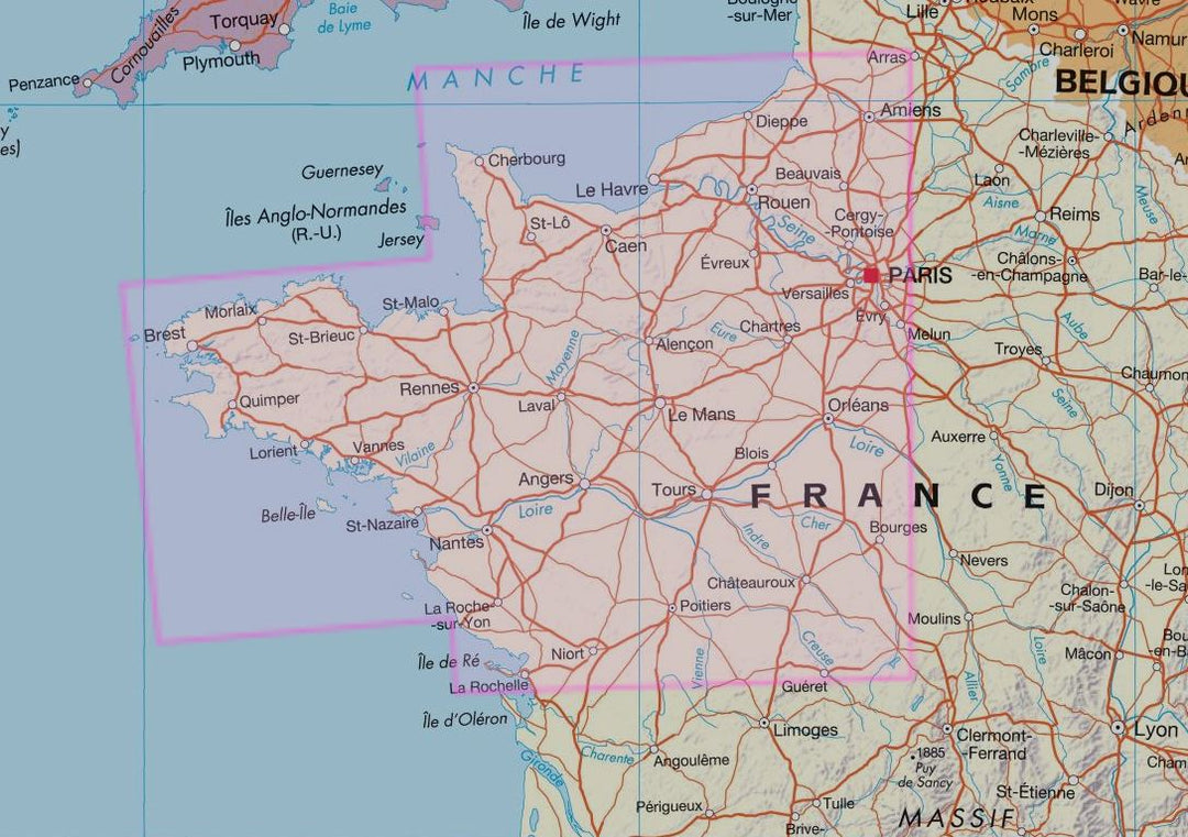


Road map - France North West | IGN
- Shipping within 24 working hours from our warehouse in France
- Delivery costs calculated instantly in the basket
- Free returns (*)
- Real-time inventory
- Low stock - 1 item left
Related geographic locations and collections: Indre-et-Loire (department 37), Aisne (department 02), Allier (department 03), Brittany, Calvados (department 14), Centre-Val de Loire, Charente (department 16), Charente-Maritime (department 17), Cher (department 18), Côtes-d'Armor (department 22), Deux-Sèvres (department 79), Essonne (department 91), Eure (department 27), Eure-et-Loir (department 28), Finistère (department 29), France, France - Atlas & General Maps, Hauts-de-Seine (department 92), Ile-de-France, Ille-et-Vilaine (department 35), Indre (department 36), Loir-et-Cher (department 41), Loire-Atlantique (department 44), Loiret (department 45), Maine-et-Loire (department 49), Manche (department 50), Mayenne (department 53), Morbihan (department 56), Normandy, Oise (department 60), Orne (department 61), Paris, Pas-de-Calais (department 62), Pays de la Loire, Sarthe (department 72), Seine-et-Marne (department 77), Seine-Maritime (department 76), Seine-Saint-Denis (department 93, Somme (department 80), Val-d'Oise (department 95), Val-de-Marne (department 94), Vendée (department 85), Vienne (department 86), Yvelines (department 78)