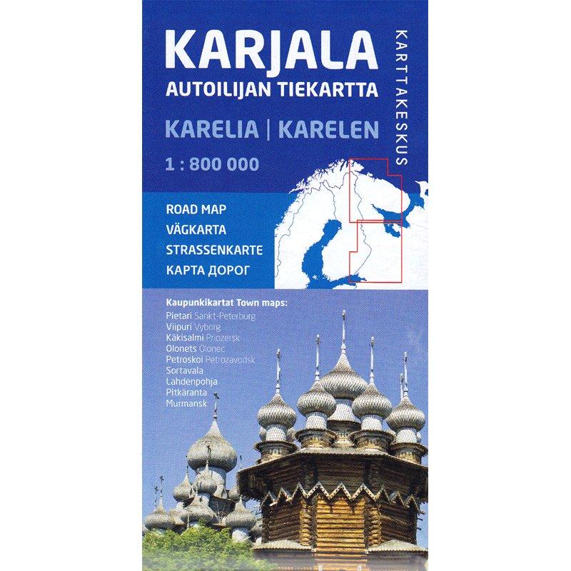
Two - sided detailed map of the Republic of Karelia and the Murmansk Oblast, with street plans of nine large cities.
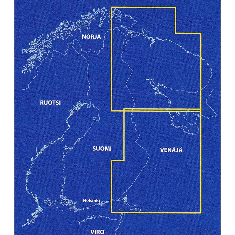
The coverage extends from St. Petersburg to Mourmansk and neighboring areas of Norway and Finland in Ostrovno, in the Kola Peninsula and south of the map, beyond Lake Onega.
The road network is presented in a very detailed way, including small country roads. The locations of service stations and car repair shops are indicated and the border crossings indicated. Railway lines and ferry routes are also indicated. Protected areas are highlighted and a wide range of symbols indicates housing and catering places in small towns, campsites, winter sports areas, tourist information centers, medical facilities, etc.
The legend of the map includes English.
Are also included St. Petersburg Center Street Plans, Mourmansk, Petrozavodsk, Vyborg, Priozersk, Sortavala, Olonets, Lahdenpohja and Pitkerta, putting in value various places of interest.
ISBN/EAN : 9789522665751
Publication date: 2019
Scale: 1/800,000 (1cm=8km)
Printed sides: both sides
Folded dimensions: 10 x 21cm
Unfolded dimensions: 110 x 80cm
Language(s): English, Finnish, Swedish, German and Russian
Weight:
80 g


