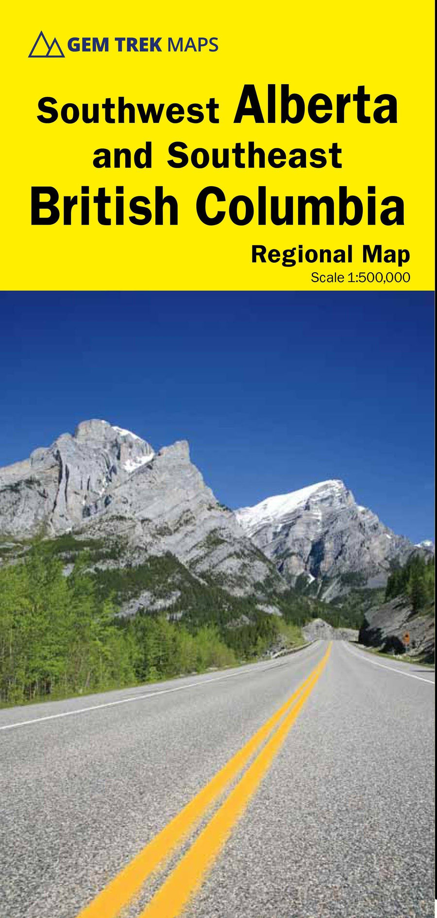
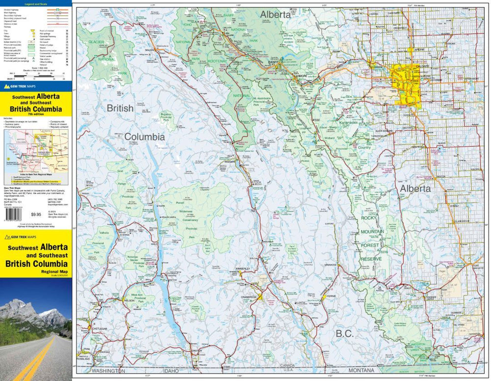
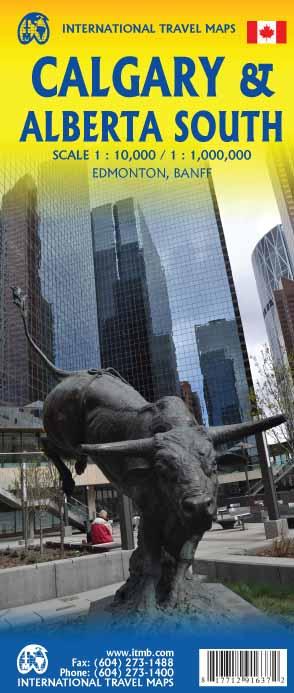
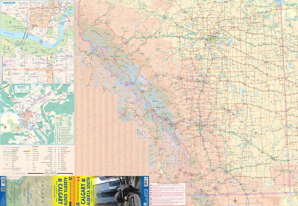
Southwestern Alberta and South - East Road map of British Columbia (Canada) published by Gem Trek.
All major highways are indicated, as well as national and provincial parks and wild areas. The map also shows less known secondary roads and indicates the location of lodges, campsites and hot springs. Mileage tables indicate the distances between the main cities.
Table of distances, indication of national or provincial parks and reserves, accommodation sites (campsites, hotels) etc ...
ISBN/EAN : 9781895526936
Publication date: 2020
Scale: 1/500,000 (1cm=5km)
Printed sides: both sides
Folded dimensions: 24.7 x 11.5 x 0.5cm
Unfolded dimensions: 79 x 62cm
Language(s): English
Weight:
43 g


