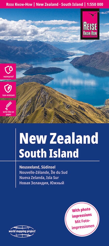
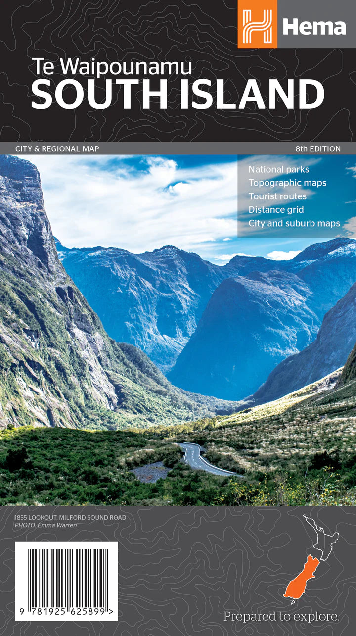
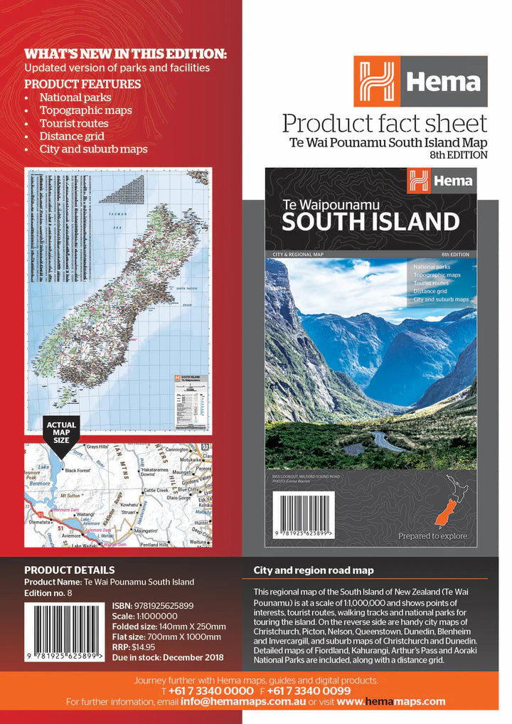
Road Map No. 14 - Southern Lakes, South Island, Rural Roads at 1:250,000 (New Zealand) | Kiwi Maps

Price
Regular price $38.00
Regular price Sale price $38.00
Save $-38
/
  • Shipping within 48 business hours from our warehouse in the USA. For this product, customs fees may be requested by the carrier upon delivery.
  • Delivery costs calculated instantly in the basket
  • Free returns (*)
  • Real-time inventory
  • In stock, ready to ship
  • Backordered, shipping soon
Tax included.

Often purchased together:

New Zealand South Island Road Atlas: Spiral bound, handy format (19x26 cm), 210 page road atlas with enlargements for the surroundings of major towns, indexed street maps of town centres, a detailed index of localities, roads/tracks and streets etc., as well as information on driving regulations.

The main section of the atlas covers the South Island at a scale of 1:250,000, with a very detailed presentation of the road network from motorways to 4WD tracks. Railway lines, ferry routes, local airfields and airstrips are signposted. National parks and protected areas are highlighted and symbols mark places of interest, a very wide range of sporting and recreational facilities, wine regions, hot springs and thermal areas, campsites and camper/caravan sites etc. Selected walking trails are also shown, including the New Zealand Footbridge and Te Araroa Footbridge. Topography is indicated by very effective relief shading, point heights and names of various mountain ranges, and colours for protected areas. No geogr.


ISBN/EAN : 9415871002670
Publication date: 2023
Scale: 1 / 250,000 (1 cm = 2.5 km)
Folded dimensions: 8.66 x 4.92"
Language(s): English
Weight: 350 g

Customer Reviews

Be the first to write a review
0%
(0)
0%
(0)
0%
(0)
0%
(0)
0%
(0)