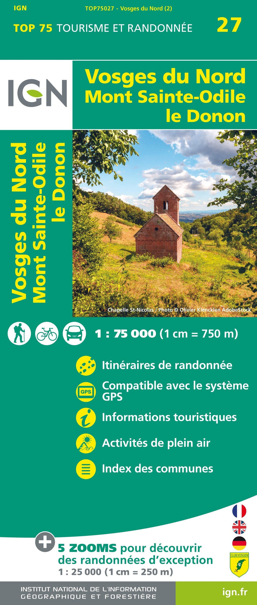
Carte TOP 75 n° 27 - Vosges du Nord, Mont Sainte Odile, Le Donon | IGN carte pliée IGN

Map top 75 # 27 - Northern Vosges, Mont Sainte-Odile, Donon | IGN

Map top 75 # 27 - Northern Vosges, Mont Sainte-Odile, Donon | IGN

Regular price $11.00
/
  • Shipping within 24 working hours from our warehouse in France
  • Delivery costs calculated instantly in the basket
  • Free returns (*)
  • Real-time inventory
  • In stock, ready to ship
  • Backordered, shipping soon
Tax included.

Top 75 topographic map of the Northern Vosges, from Mont Sainte Odile, the Donon edited by IGN. Level curves, detailed legend and indication of hiking trails. Cities index.

This map includes 5 zooms at 1/25,000 scale to discover exceptional hikes.


ISBN/EAN : 9782758549734
Publication date: 2020
Scale: 1/75,000 (1cm=750m) & 1/25,000 (1cm=250m)
Printed sides: front
Folded dimensions: 24.6 x 11.2 x 0.7cm
Unfolded dimensions: 130 x 100cm
Language(s): French, English, German
Poids : 89 g

Customer Reviews

No reviews yet
0%
(0)
0%
(0)
0%
(0)
0%
(0)
0%
(0)