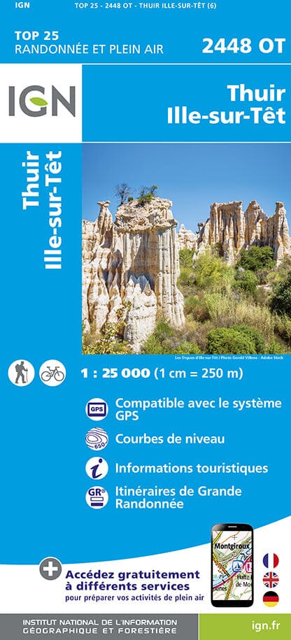
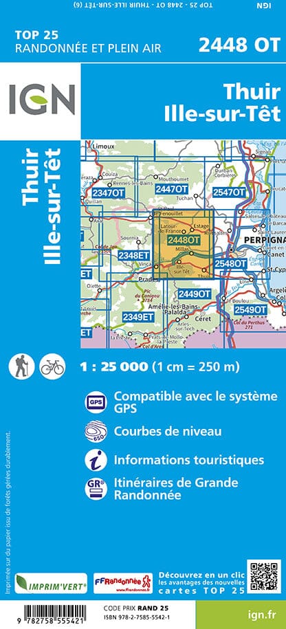
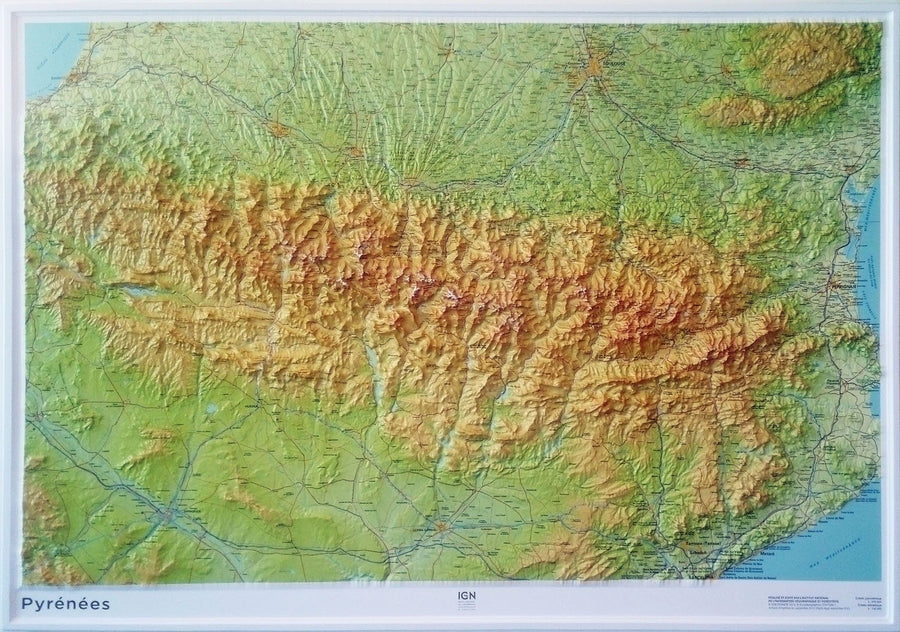
Top 25 # 2448 OT - Thuir & Ille-sur-Test (Eastern Pyrenees) | IGN
Carte TOP 25 n° 2448 OT - Thuir & Ille-sur-Têt (Pyrénées Orientales) | IGN - La Compagnie des Cartes

Top 25 # 2448 OT - Thuir & Ille-sur-Test (Eastern Pyrenees) | IGN

Top 25 # 2448 OT - Thuir & Ille-sur-Test (Eastern Pyrenees) | IGN

Regular price $16.00
/
  • Shipping within 24 working hours from our warehouse in France
  • Delivery costs calculated instantly in the basket
  • Free returns (*)
  • Real-time inventory
  • In stock, ready to ship
  • Backordered, shipping soon
Tax included.
Top 25 Top 25 map of the Thuir and Ille-sur-Tet region edited by IGN. Hiking Map with space curves spaced 10 meters and detailed legend (vegetation, rocks, streams etc ...). Indication of hiking trails. Scale 1 / 25,000 (1 cm = 250 m).


ISBN/EAN : 9782758555421
Publication date: 2024
Scale: 1/25,000 (1cm=250m)
Printed sides: front
Folded dimensions: 23.6 x 11.2 x 0.5cm
Unfolded dimensions: 96 x 121cm
Language(s): French, English, German
Poids : 82 g

Customer Reviews

Based on 3 reviews
67%
(2)
0%
(0)
0%
(0)
0%
(0)
33%
(1)
T
Thérèse M. (Sisteron, FR)
Carte de Thuir

Excellent produit

G
GEORGES C. (Perpignan, FR)
Très bien, livraison rapide et arrivée sans problème.

5/5

j
jEAN-LUC r. (Limoges, FR)
carte

conforme au cartes ign bon produit