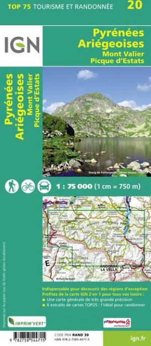
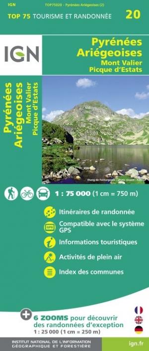
Carte TOP 75 n° 20 - Pyrénées Ariégeoises, Mont Valier & Pique d'Estats | IGN carte pliée IGN

Map Top 75 # 20 - Pyrénées Ariégeoises, Mount Valier & Pique Estats | IGN

Map Top 75 # 20 - Pyrénées Ariégeoises, Mount Valier & Pique Estats | IGN

Regular price $11.00
/
  • Shipping within 24 working hours from our warehouse in France
  • Delivery costs calculated instantly in the basket
  • Free returns (*)
  • Real-time inventory
  • In stock, ready to ship
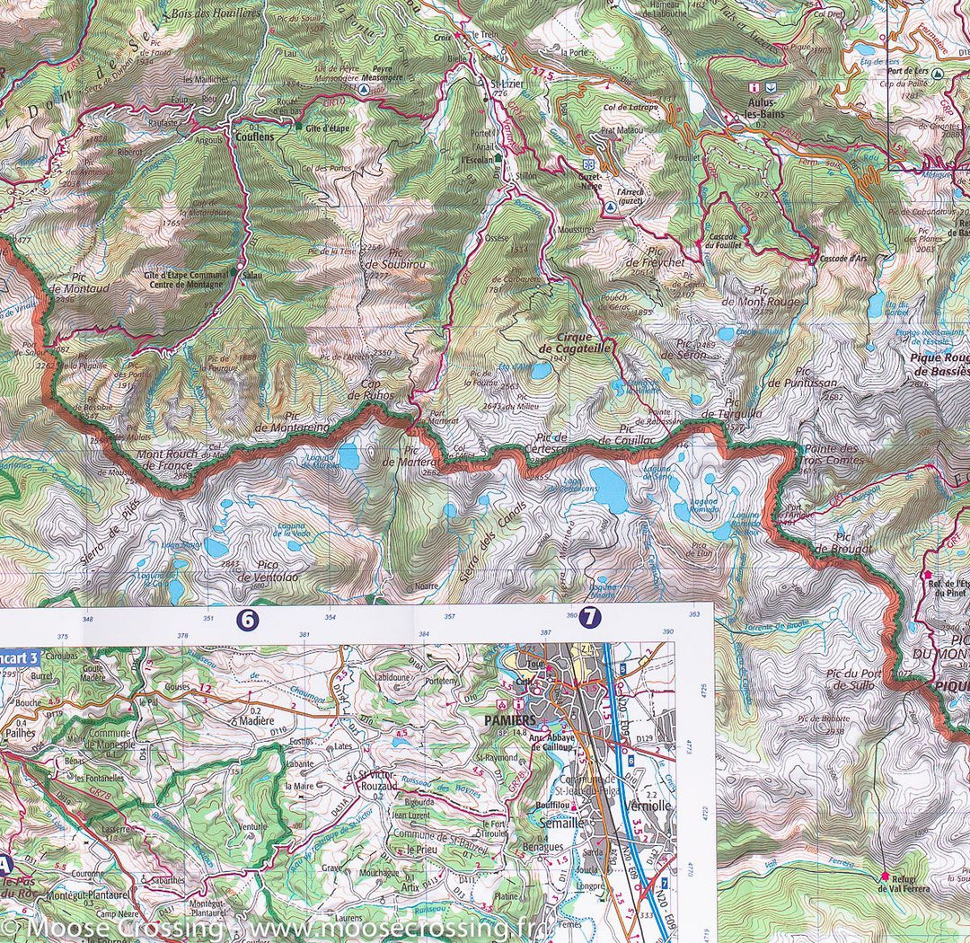
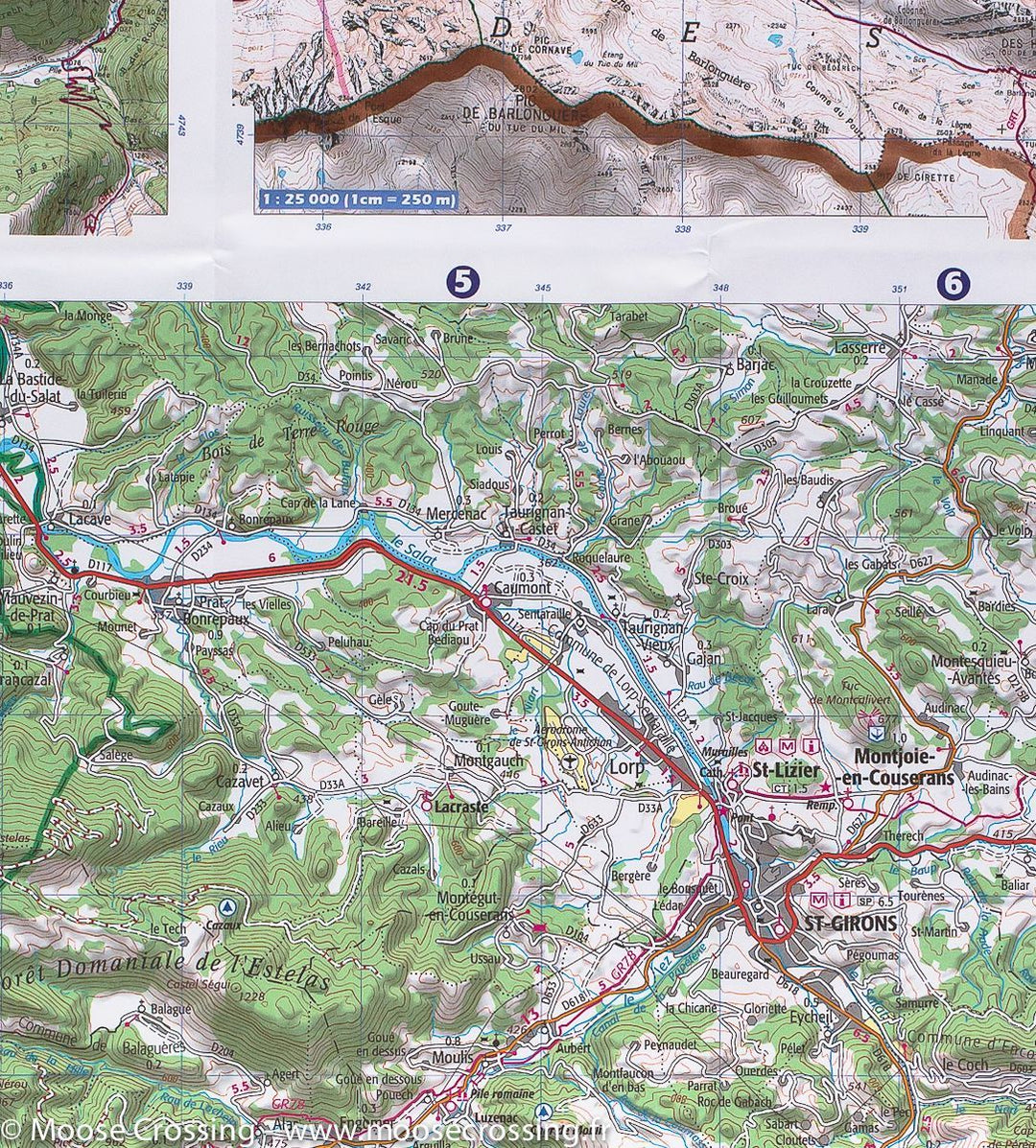
  • Backordered, shipping soon
Tax included.

Top 75 topographic map of the Ariege Pyrenees, Mount Valier, and the pic of Estates published by IGN. This detailed map covers the Ariège Pyrenees, its national park, as well as Mount Valier and the pic of estates. Level curves, detailed legend and indication of hiking trails. Cities index.

This map includes 5 zooms at 1/25,000 scale to discover exceptional hikes.


ISBN/EAN : 9782758544715
Publication date: 2018
Scale: 1/75,000 (1cm=750m) & 1/25,000 (1cm=250m)
Printed sides: front
Folded dimensions: 24.6 x 11.2 x 0.7cm
Unfolded dimensions: 130 x 100cm
Language(s): French, English, German
Poids : 89 g

Customer Reviews

Based on 1 review
0%
(0)
100%
(1)
0%
(0)
0%
(0)
0%
(0)
Y
Yvan R. (Labarthe-sur-Leze, FR)

Qualité prix