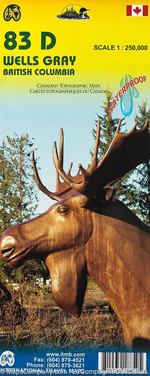
Carte de randonnée – Parc Wells Gray (Colombie Britannique) | ITM - La Compagnie des Cartes

Hiking Map & # 8211 Wells Gray Park (British Columbia) | ITM

Hiking Map & # 8211 Wells Gray Park (British Columbia) | ITM

Regular price $15.00
/
  • Shipping within 24 working hours from our warehouse in France
  • Delivery costs calculated instantly in the basket
  • Free returns (*)
  • Real-time inventory
  • In stock, ready to ship
  • Backordered, shipping soon
Tax included.
Topographic Map of Wells Gray Provincial Park (including Murtle Lake) in British Columbia. Detailed map edited by ITM. Level curves spaced 100 feet. Detailed legend (indication of campsites, RV parks, hiking areas, canoeing, mountain biking, fishing etc ...).


ISBN/EAN : 9781553418856
Publication date: 2008
Scale: 1/250,000 (1cm=2.5km)
Printed sides: both sides
Folded dimensions: 24.6 x 10.3 x 0.5cm
Language(s): English
Poids : 60 g

Customer Reviews

Based on 1 review
100%
(1)
0%
(0)
0%
(0)
0%
(0)
0%
(0)
B
Brandy F.
Great map of a beautiful provincial...

Great map of a beautiful provincial park