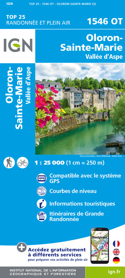
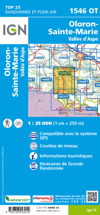
TOP 25 Map No. 1546 OT - Oloron Sainte Marie, Aspe Valley (Pyrenees) | IGN
Regular price
$17.00
Regular price
Sale price
$17.00
Save $-17
/
- Shipping within 24 working hours from our warehouse in France
- Delivery costs calculated instantly in the basket
- Free returns (*)
- Real-time inventory
- In stock, ready to ship
Related geographic locations and collections: Aspe Valley, France hiking maps - IGN TOP 25 & SÉRIE BLEUE, French Pyrénées hiking maps - IGN TOP 25 & SÉRIE BLEUE, Oloron-Sainte-Marie, Pyrenees