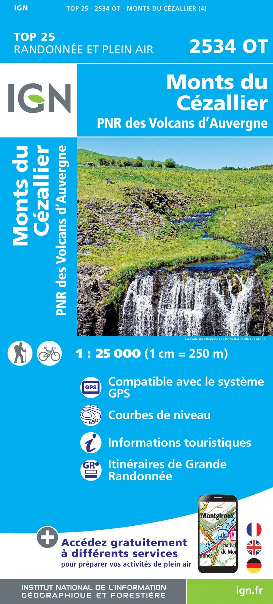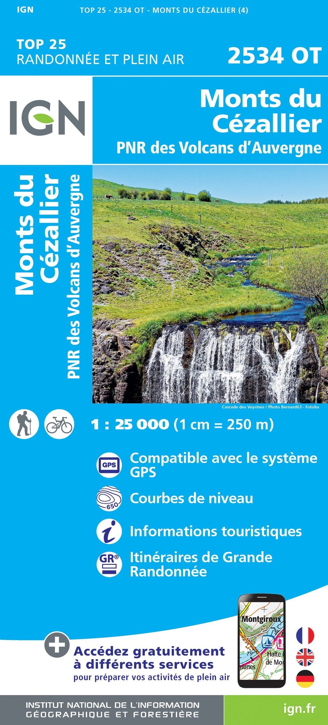
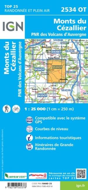
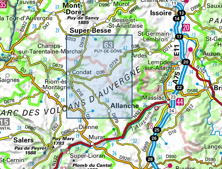
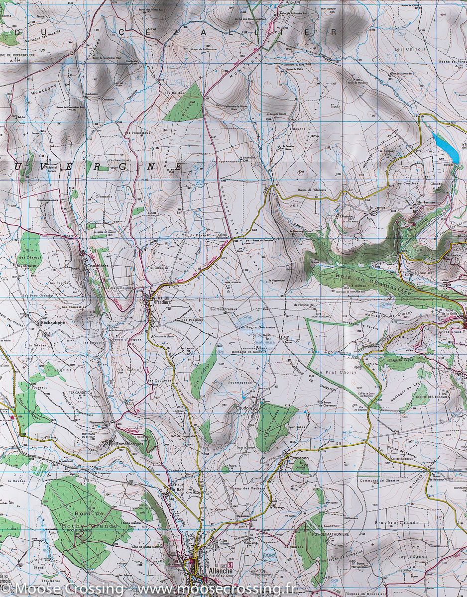


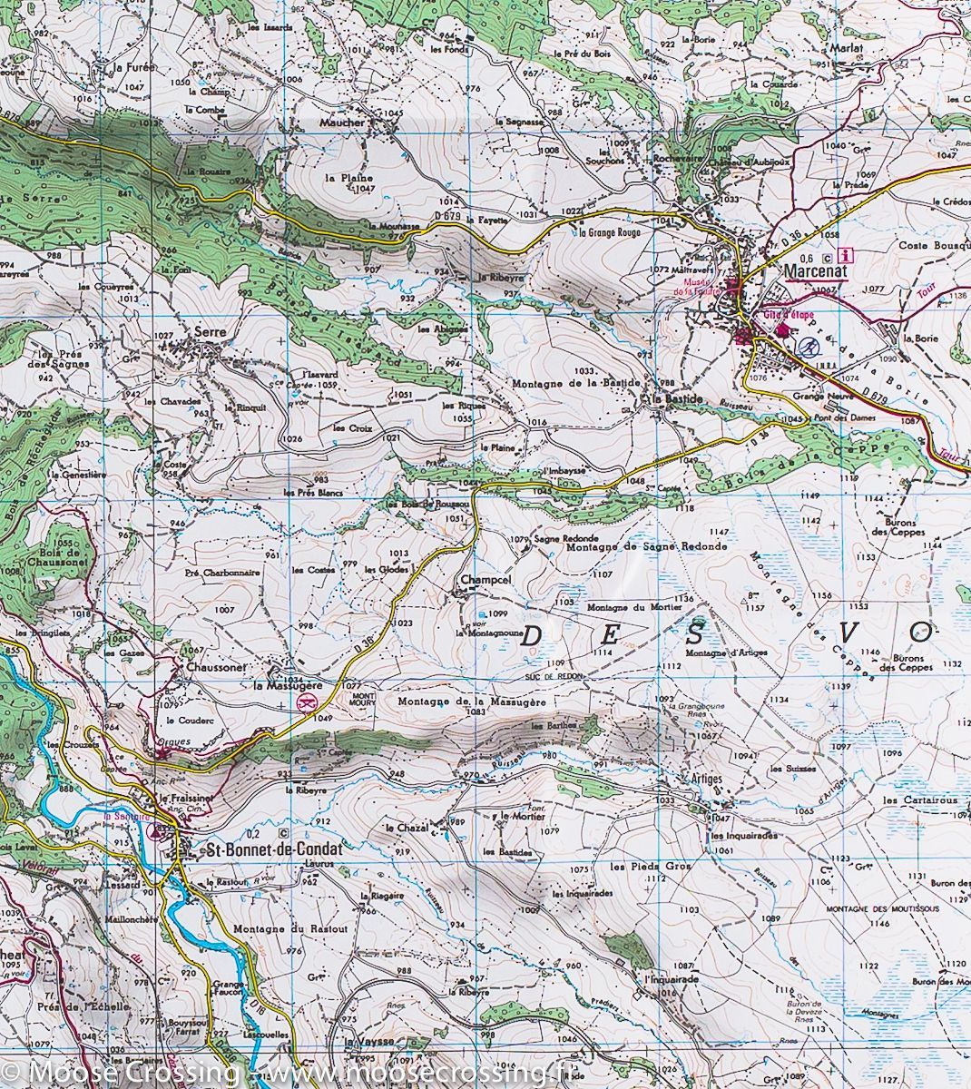
TOP 25 Map No. 2534 OT - Cézallier Mountains (Massif Central) | IGN
Regular price
$17.00
Regular price
Sale price
$17.00
Save $-17
/
- Shipping within 24 working hours from our warehouse in France
- Delivery costs calculated instantly in the basket
- Free returns (*)
- Real-time inventory
Related geographic locations and collections: Auvergne, Auvergne Volcanoes Regional Nature Park, Auvergne-Rhône-Alpes, Cezallier Mountains, France hiking maps - IGN TOP 25 & SÉRIE BLEUE, Massif Central, Massif Central (France) hiking maps - IGN TOP 25 & SÉRIE BLEUE