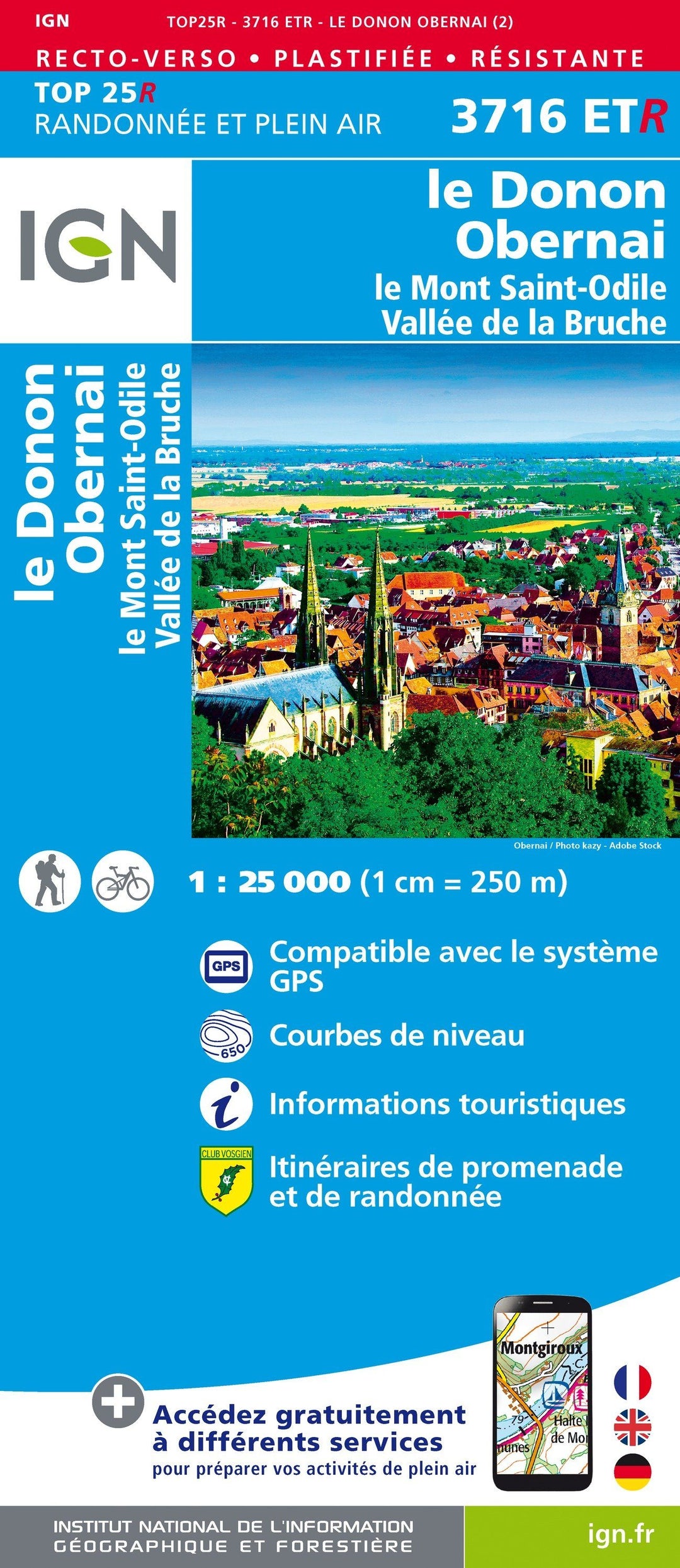
Carte TOP 25 n° 3716 ETR (Résistante) - Le Donon, Obernai, Mont Saint-Odile, Vallée de la Bruche | IGN carte pliée IGN

Top 25 # 3716 ETR (Resistant) - Donon, Obernai, Mont Sainte-Odile, Bruche Valley | IGN

Top 25 # 3716 ETR (Resistant) - Donon, Obernai, Mont Sainte-Odile, Bruche Valley | IGN

Regular price $19.00
/
  • Shipping within 24 working hours from our warehouse in France
  • Delivery costs calculated instantly in the basket
  • Free returns (*)
  • Real-time inventory
  • In stock, ready to ship
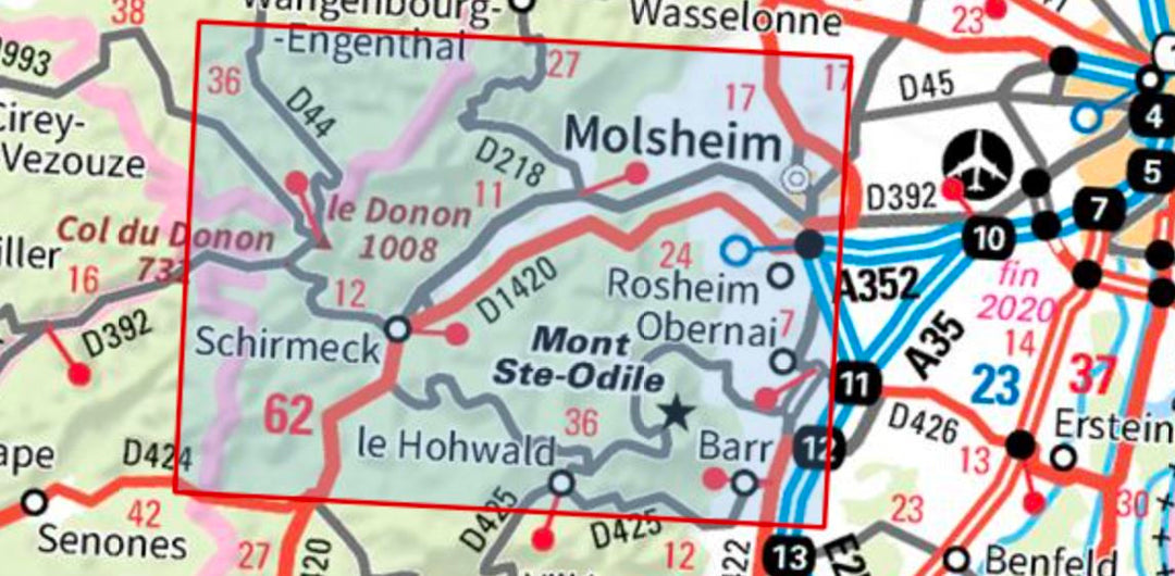
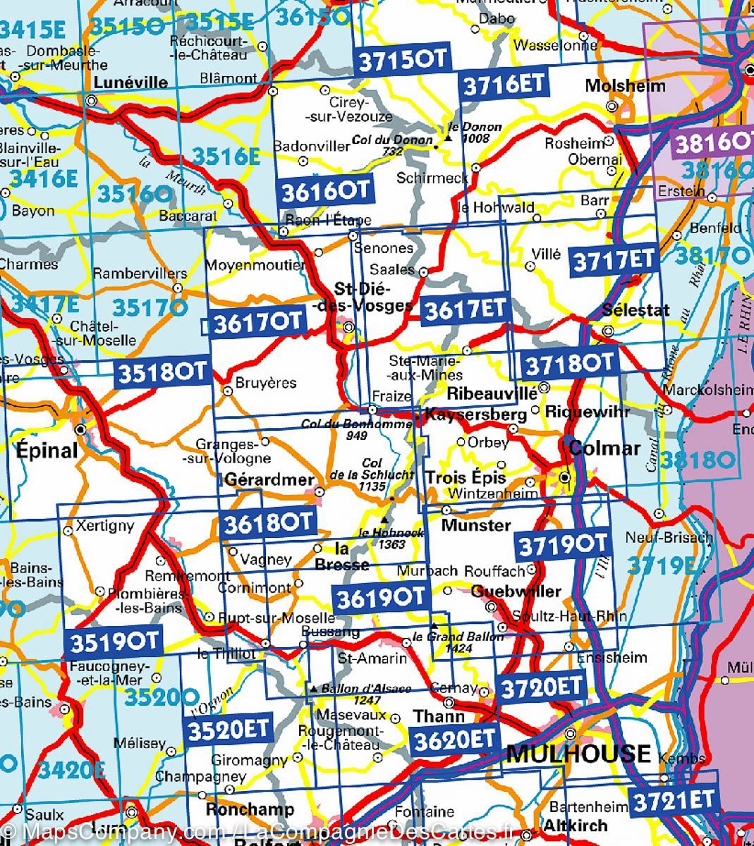
  • Backordered, shipping soon
Tax included.

Top 25 Top 25 map of the Mont Saint-Odile region edited by IGN. Hiking Map with space curves spaced 10 meters and detailed legend (vegetation, rocks, streams etc ...). Indication of hiking trails.

Scale 1 / 25,000 (1 cm = 250 m).

GPS compatible map.

- This map is printed on a laminated support and tearing resistant , ideal for the practice of outdoor activities.
- double-sided map: a reduced footprint that facilitates handling.


ISBN/EAN : 9782758550488
Publication date: 2020
Scale: 1/25,000 (1cm=250m)
Printed sides: both sides
Folded dimensions: 23.6 x 11.2 x 0.5cm
Unfolded dimensions: 50 x 132cm
Language(s): French, English, German
Poids : 89 g

Customer Reviews

Based on 1 review
100%
(1)
0%
(0)
0%
(0)
0%
(0)
0%
(0)
c
christian M. (Pfastatt, FR)
carte IGN

produit conforme à la description , livraison rapide.