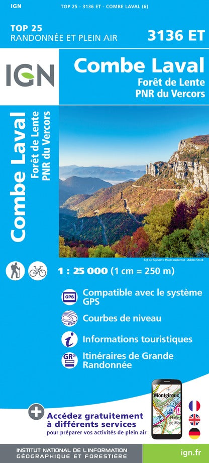
Carte TOP 25 n° 3336 ETR (résistante) - Les Deux Alpes, Olan, Muzelle (PN des Ecrins, Alpes) | IGN carte pliée IGN
Carte IGN TOP 25 n° 3336 ETR (résistante) - Les Deux Alpes, Olan, Muzelle (PN des Ecrins, Alpes) - La Compagnie des Cartes

Top 25 # 3336 ETR (Resistant) - The Two Alps, Olan, Muzelle (Ecrins PN, Alps) | IGN

Top 25 # 3336 ETR (Resistant) - The Two Alps, Olan, Muzelle (Ecrins PN, Alps) | IGN

Regular price $19.00
/
  • Shipping within 24 working hours from our warehouse in France
  • Delivery costs calculated instantly in the basket
  • Free returns (*)
  • Real-time inventory
  • In stock, ready to ship
  • Backordered, shipping soon
Tax included.

Top 25 Top 25 map around the two Alps, edited by IGN, including part of the Ecrins National Park, Olan and the Rock of the Muzelle in the Massif des Ecrins. Hiking Map with space curves spaced 10 meters and detailed legend (vegetation, rocks, streams etc ...). Indication of hiking trails.
Scale 1/25 000 (1 cm = 250 m). GPS compatible map.

- This map is printed on a laminated support and tearing resistant , ideal for the practice of outdoor activities.
- double-sided map: a reduced footprint that facilitates handling.


ISBN/EAN : 9782758545569
Publication date: 2018
Scale: 1/25,000 (1cm=250m)
Printed sides: both sides
Folded dimensions: 23.6 x 11.2 x 0.5cm
Unfolded dimensions: 50 x 132cm
Language(s): French, English, German
Poids : 78 g

Customer Reviews

No reviews yet
0%
(0)
0%
(0)
0%
(0)
0%
(0)
0%
(0)