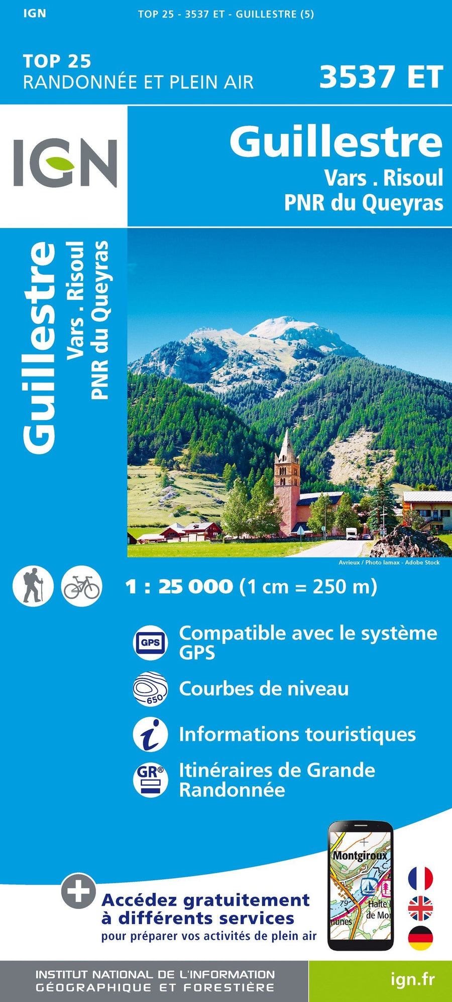
Top 25 map # 3537 ET - Guillestre, Vars and Risoul (NRP du Queyras, Alps) | IGN

Price
Regular price $16.00
Regular price Sale price $16.00
Save $-16
/
  • Shipping within 24 working hours from our warehouse in France
  • Delivery costs calculated instantly in the basket
  • Free returns (*)
  • Real-time inventory
  • In stock, ready to ship
  • Backordered, shipping soon
Tax included.

Often purchased together:

Top 25 map around Guillestre, Vars and Risoul edited by IGN. This detailed map covers part of the Queyras Regional Natural Park. This map extends from the Izoard Pass in Vars (from north to south), and the duration to Château - Queyras (West in East).

Hiking map with space curves spaced 10 meters and detailed legend (vegetation, rocks, streams etc ...). Indication of hiking trails.

Scale 1/25 000. GPS compatible.


ISBN/EAN : 9782758546740
Publication date: 2019
Scale: 1/25,000 (1cm=250m)
Printed sides: front
Folded dimensions: 23.6 x 11.2 x 0.5cm
Unfolded dimensions: 96 x 132cm
Language(s): French, English, German
Weight: 89 g

Customer Reviews

Based on 4 reviews
75%
(3)
25%
(1)
0%
(0)
0%
(0)
0%
(0)
R
R.L. (Nantes, FR)
Excellente qualité du produit

Je connais les cartes IGN, depuis des années. Ça a toujours été le top pour préparer les randonnées en montagne. Livraison effectuée en 48 heures, via Chronopost, parfait.

A
A. C.
IGN 3537 ET

Réception très rapide (1 jour après ma commande).
Parfait.

c
catherine h. (Bram, FR)

impeccable ! merci

V
VALERIE B.
rapide ,clair et efficace ...

rapide ,clair et efficace