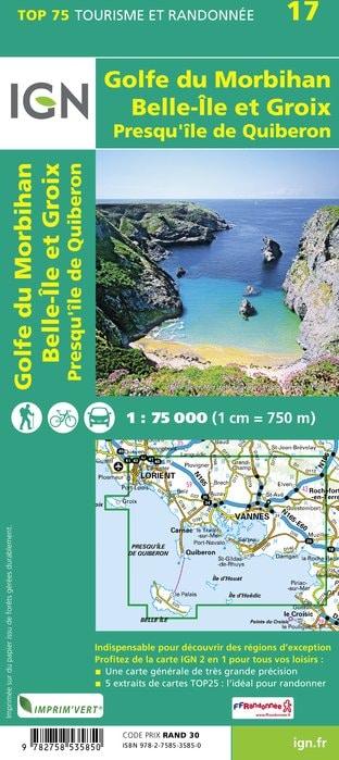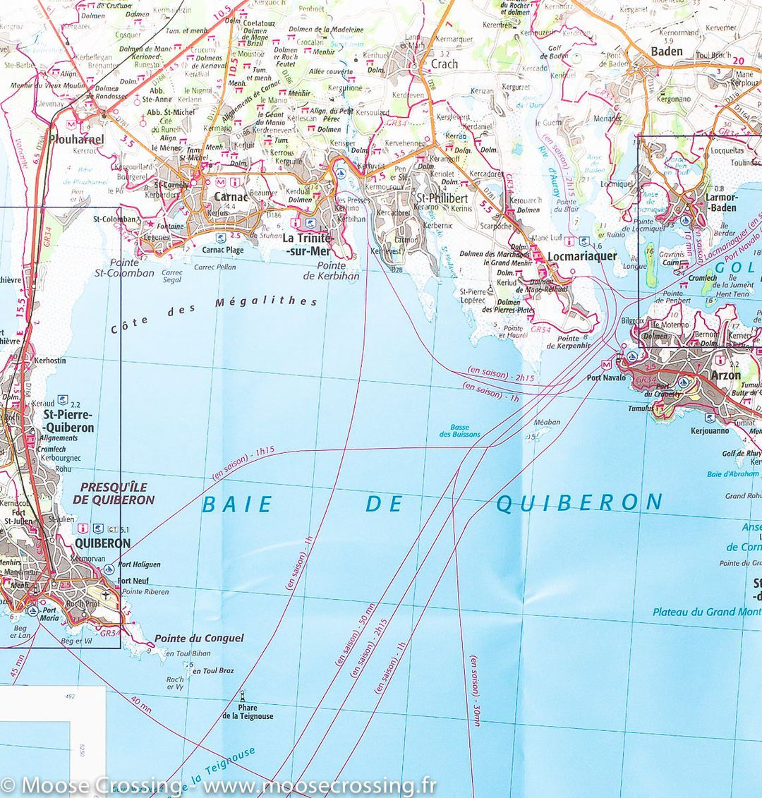

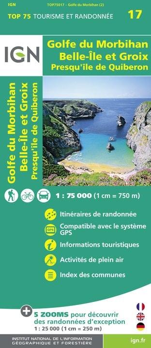

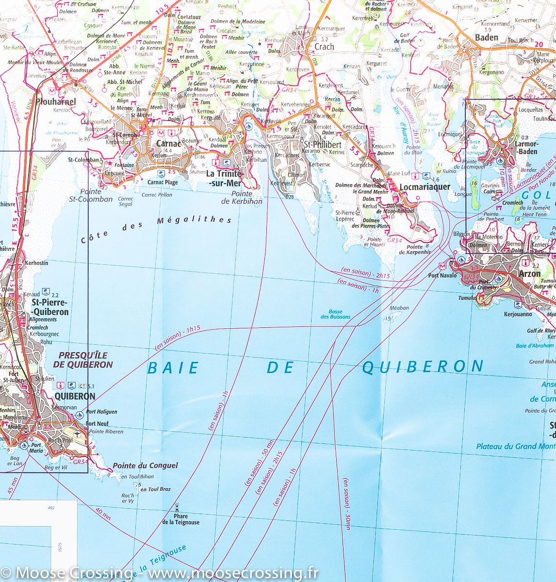
TOP 75 Map No. 17 - Gulf of Morbihan (Brittany) | IGN
Regular price
$12.00
Regular price
Sale price
$12.00
Save $-12
/
- Shipping within 24 working hours from our warehouse in France
- Delivery costs calculated instantly in the basket
- Free returns (*)
- Real-time inventory
- Low stock - 2 items left
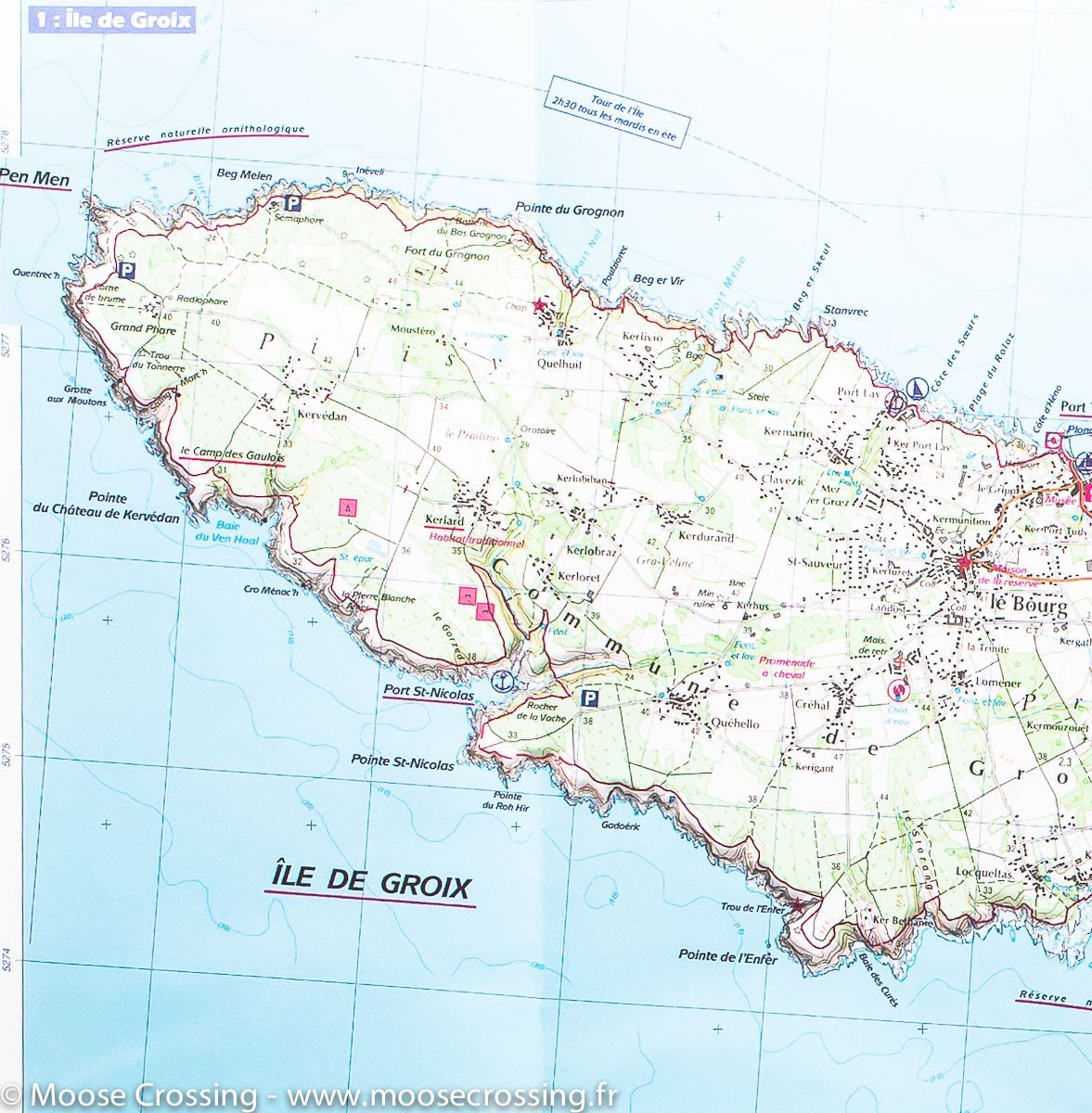
Related geographic locations and collections: Brittany, Groix, Gulf of Morbihan, Morbihan (department 56)