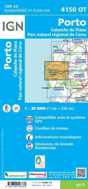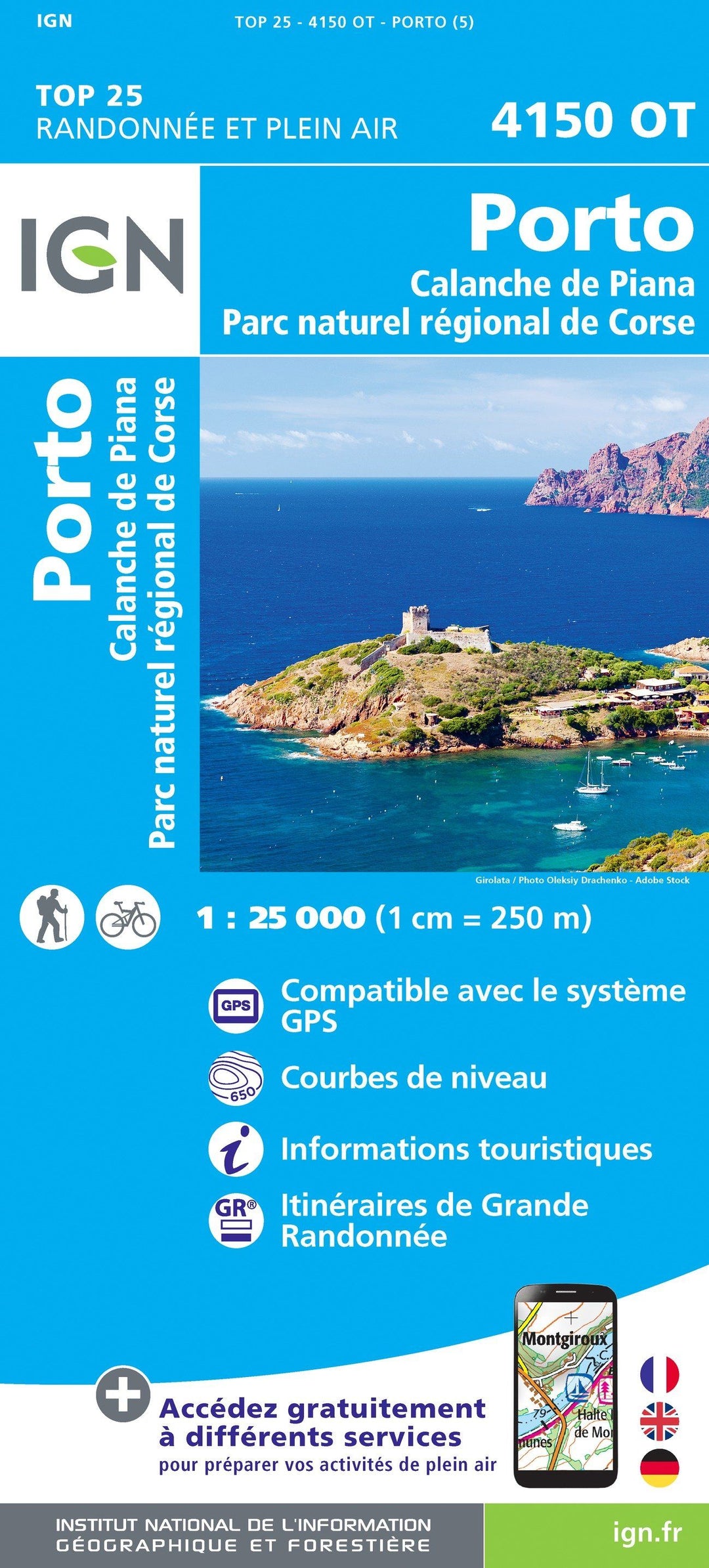

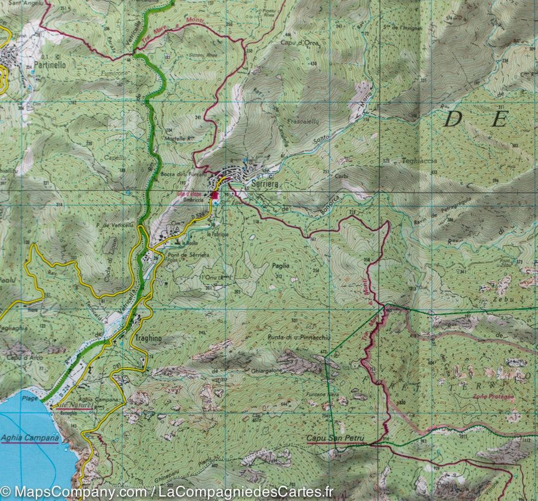
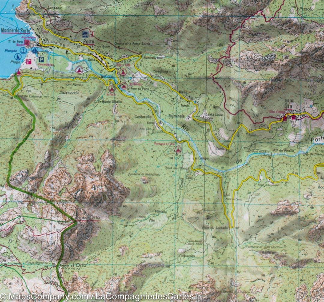
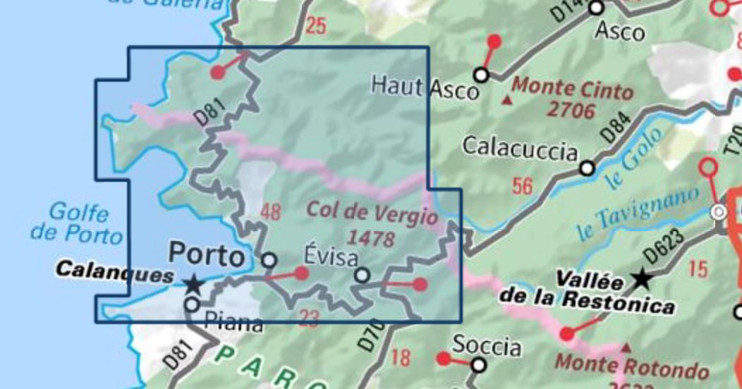


Map TOP 25 No. 4150 OT - Porto, Calanche de Piana (PNR of Corsica) | IGN
Regular price
$17.00
Regular price
Sale price
$17.00
Save $-17
/
- Shipping within 24 working hours from our warehouse in France
- Delivery costs calculated instantly in the basket
- Free returns (*)
- Real-time inventory
- In stock, ready to ship
Related geographic locations and collections: Corse-du-Sud (department 2A ), Corsica, Corsica hiking maps - IGN TOP 25 & SÉRIE BLEUE, France hiking maps - IGN TOP 25 & SÉRIE BLEUE, French Riviera, Provence, Southern Alps hiking maps - IGN TOP 25 & SÉRIE BLEUE, Regional Natural Park of Corsica, Trekking in Corsica