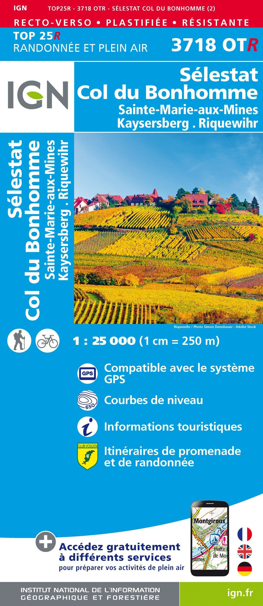
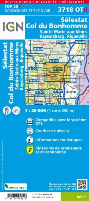
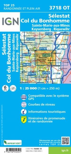
Carte TOP 25 n° 3718 OTR (Résistante) - Sélestat, Col du Bonhomme, Sainte-Marie-aux-Mines, Kaysersberg, Riquewihr | IGN carte pliée IGN

Top 25 # 3718 OTR (Resistant) - Sélestat, COL DU BONHOMME, SAINTE-MARIE-AUX-MINES, KAYSERSBERG, RICEWIHR | IGN

Top 25 # 3718 OTR (Resistant) - Sélestat, COL DU BONHOMME, SAINTE-MARIE-AUX-MINES, KAYSERSBERG, RICEWIHR | IGN

Regular price $19.00
/
  • Shipping within 24 working hours from our warehouse in France
  • Delivery costs calculated instantly in the basket
  • Free returns (*)
  • Real-time inventory
  • In stock, ready to ship
  • Backordered, shipping soon
Tax included.

Top 25 Top 25 map of the Sélestat region, Kaysersberg, the Bonhomme (Vosges Ball PNR). Hiking Map with space curves spaced 10 meters and detailed legend (vegetation, rocks, streams etc ...). Indication of hiking trails.

Scale 1 / 25,000 (1 cm = 250 m).

GPS compatible map.
- This map is printed on a laminated support and tearing resistant , ideal for The practice of outdoor activities.
- double-sided map: a reduced footprint that facilitates handling.


ISBN/EAN : 9782758550518
Publication date: 2020
Scale: 1/25,000 (1cm=250m)
Printed sides: both sides
Folded dimensions: 23.6 x 11.2 x 0.5cm
Unfolded dimensions: 50 x 132cm
Language(s): French, English, German
Poids : 89 g

Customer Reviews

Based on 1 review
100%
(1)
0%
(0)
0%
(0)
0%
(0)
0%
(0)
f
freddy p. (Paris, FR)

Qualité au top