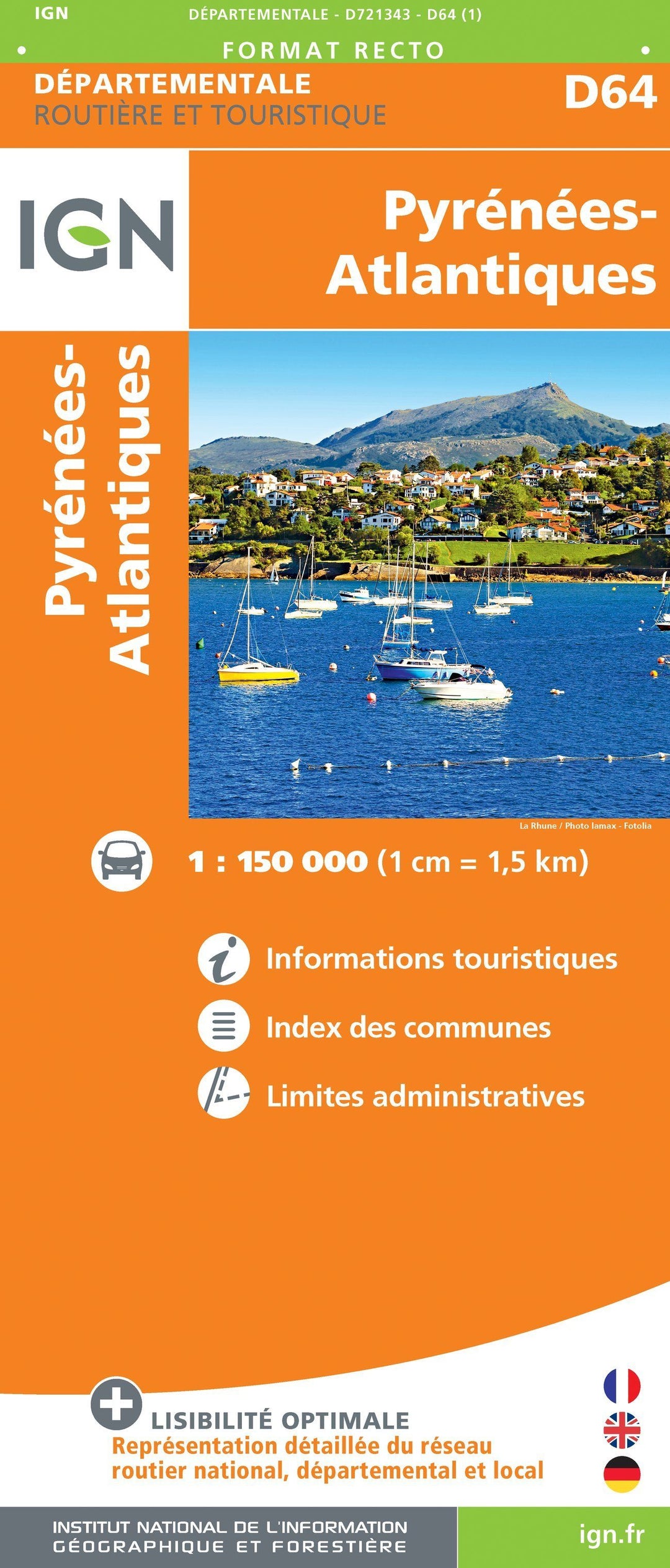
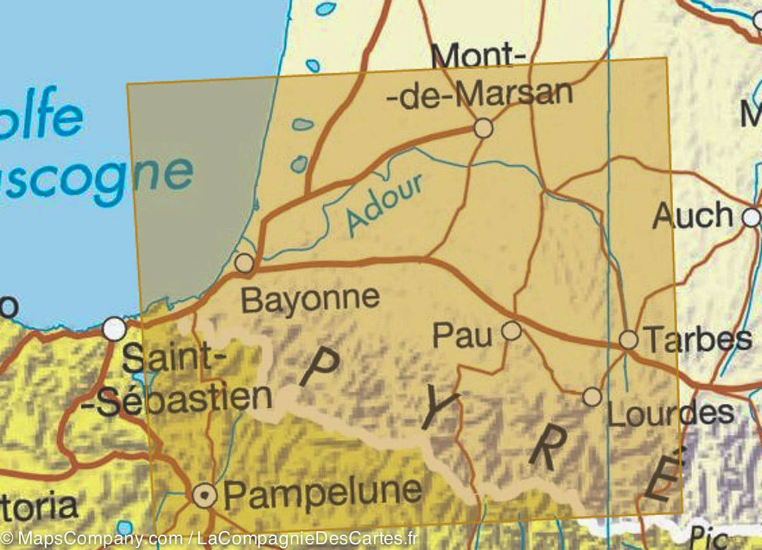
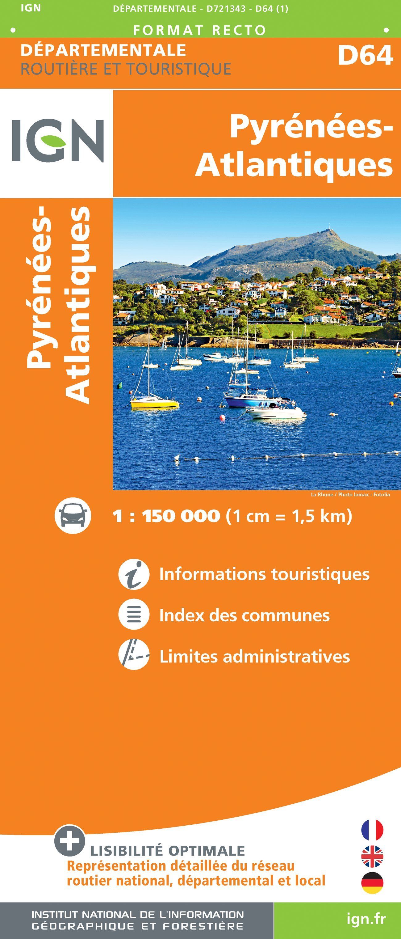
Departmental Map D64 - Pyrénées-Atlantiques | IGN

Carte Départementale D64 - Pyrénées-Atlantiques | IGN carte pliée IGN

Departmental Map D64 - Pyrénées-Atlantiques | IGN

Regular price $6.00
/
  • Shipping within 24 working hours from our warehouse in France
  • Delivery costs calculated instantly in the cart
  • Free returns (*)
  • Real-time inventory
  • In stock, ready to ship
  • Inventory on the way
Tax included.
Road Map of the Department of Pyrénées-Atlantiques including:
- National, Departmental and Local Road Network
- All Municipalities (with Index)
- Administrative Limits
- Tourist information
Scale 1/150 000 (1 cm = 1.5 km).


ISBN/EAN : 9782758544418
Publication date: 2018
Scale: 1/150,000 (1cm=1.5km)
Printed sides: front
Folded dimensions: 11 x 25cm
Unfolded dimensions: 145 x 102cm
Language(s): French, English, German
Poids : 90 g

Customer Reviews

No reviews yet
0%
(0)
0%
(0)
0%
(0)
0%
(0)
0%
(0)