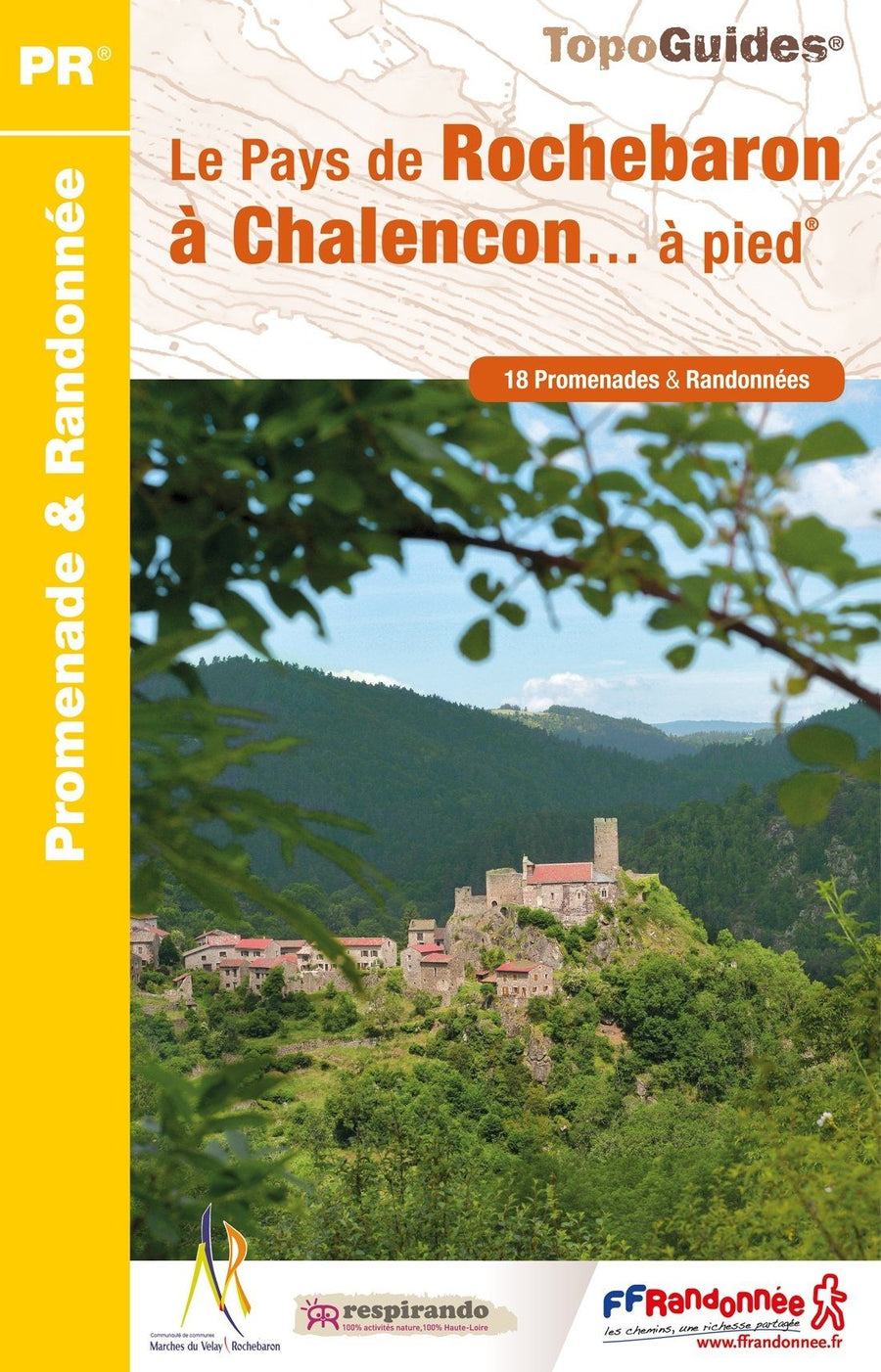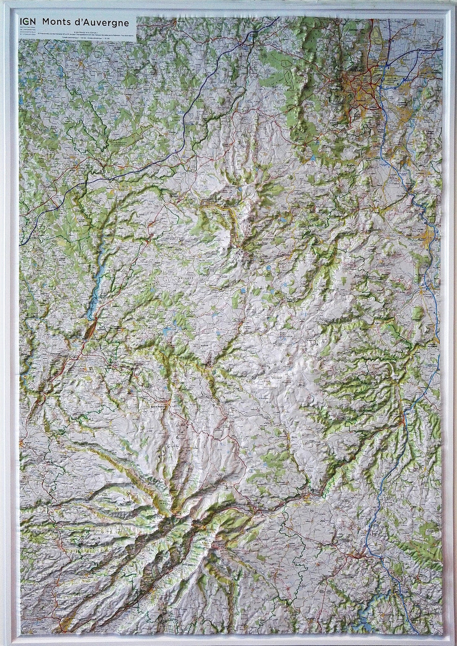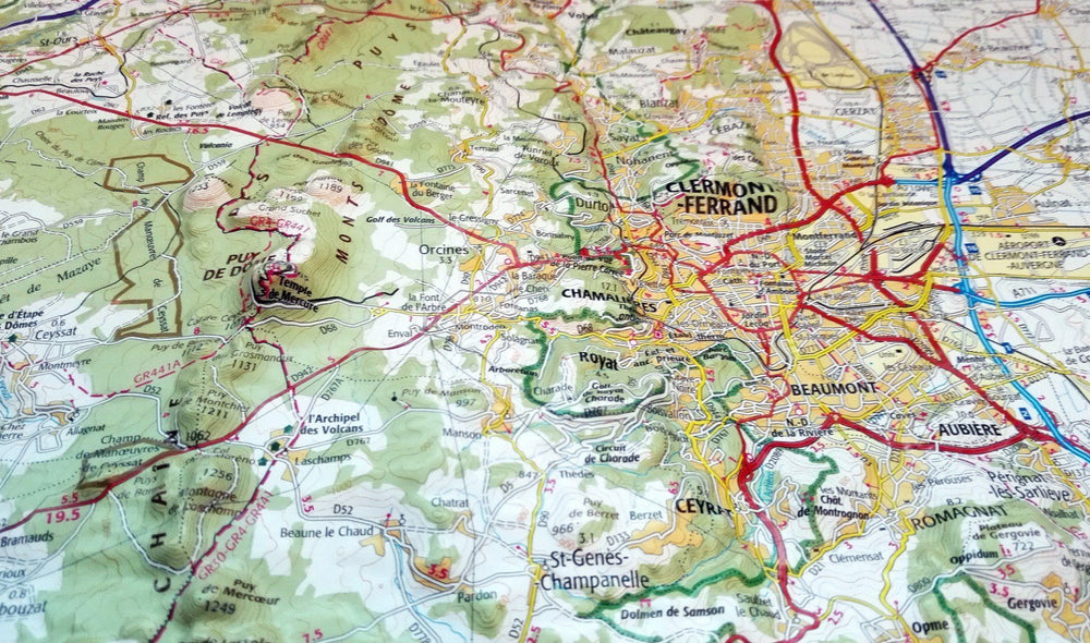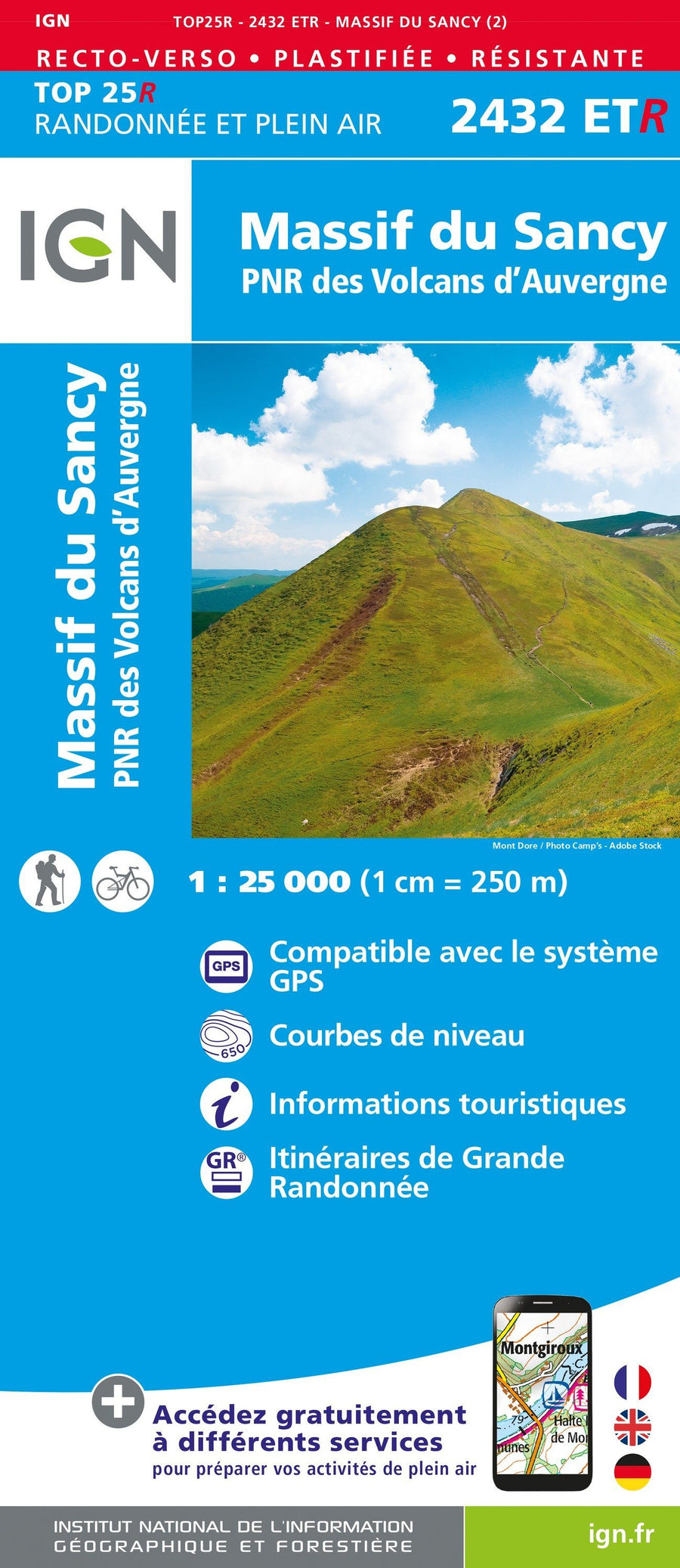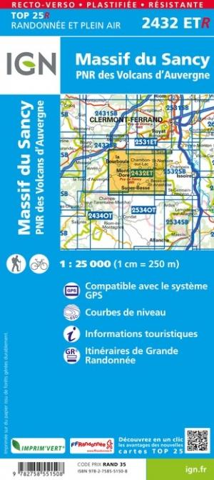
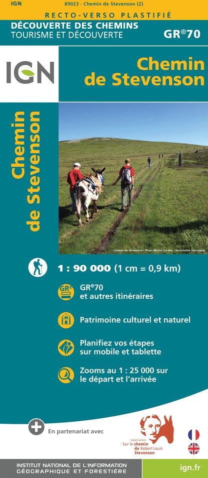
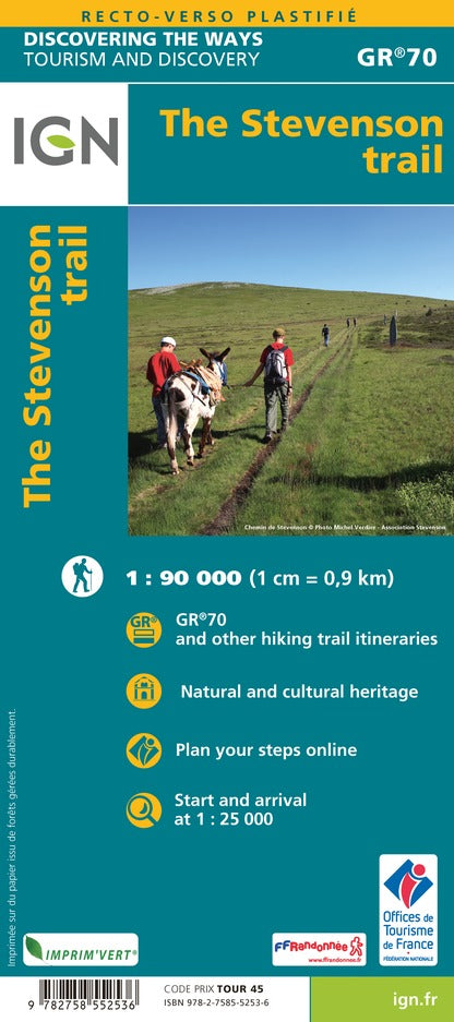

Detailed map - Stevenson's paths | IGN
Regular price
$12.00
Regular price
Sale price
$12.00
Save $-12
/
- Shipping within 24 working hours from our warehouse in France
- Delivery costs calculated instantly in the basket
- Free returns (*)
- Real-time inventory
- In stock, ready to ship
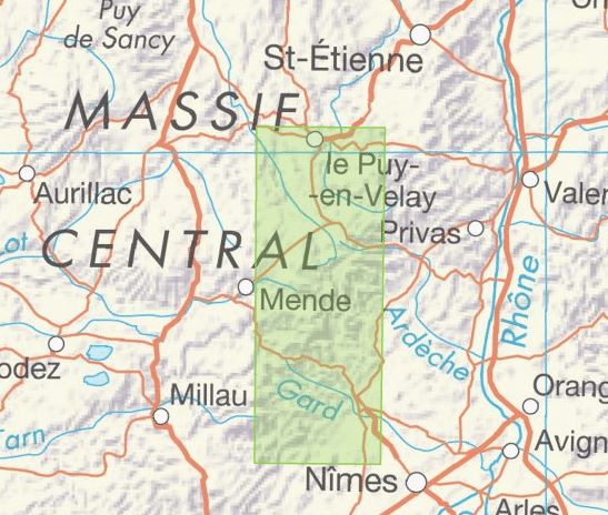
Related geographic locations and collections: Alès, Auvergne-Rhône-Alpes, Le-Puy-en-Velay, Massif Central, Stevenson trail GR70