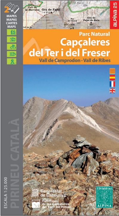
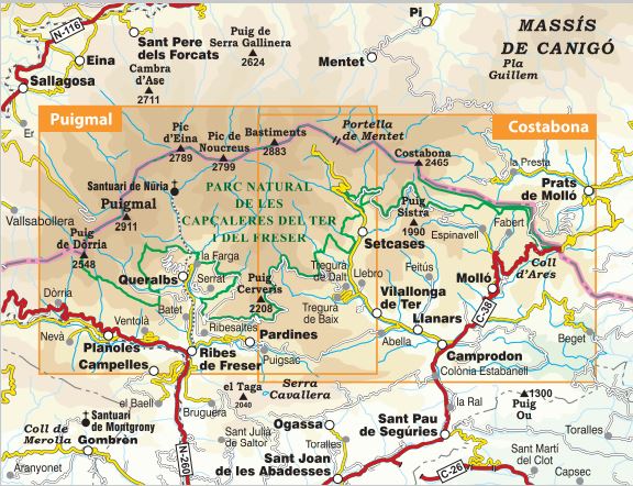
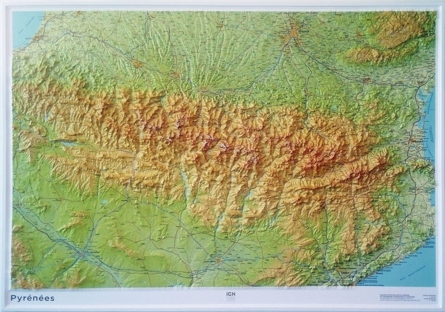
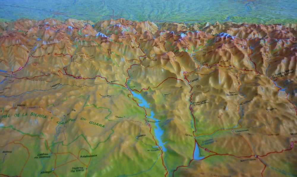
set of 2 detailed topographic maps of the Natural Park of the Cape TERL (East Pyrenees). These maps are 1/25,000 scale (1 cm = 250 m). One of the maps covers the west sector, with the summit of the Puigmal, and the Nuria Valley And the other map covers the eastern sector, with the Camprode Valley, the Costabone and the Glacial Cirque of Ulldeter.
detailed maps are in color and legend in French, English and Spanish.
ISBN/EAN : 9788480909051
Publication date: 2022
Scale: 1/25,000 (1cm=250m)
Printed sides: front
Folded dimensions: 21 x 11 x 0.5cm
Unfolded dimensions: 98 x 68cm
Language(s): French, English, Catalan, Castilian
Weight:
169 g


