Carte routière - Nouvelle Galles du Sud, Nord-est (Australie) | Hema Maps carte pliée Hema Maps

Road Map - New South Wales, Northeast (Australia) | Hema Maps

Road Map - New South Wales, Northeast (Australia) | Hema Maps

Regular price $16.00
/
  • Shipping within 24 working hours from our warehouse in France
  • Delivery costs calculated instantly in the basket
  • Free returns (*)
  • Real-time inventory
  • In stock, ready to ship
  • Backordered, shipping soon
Tax included.

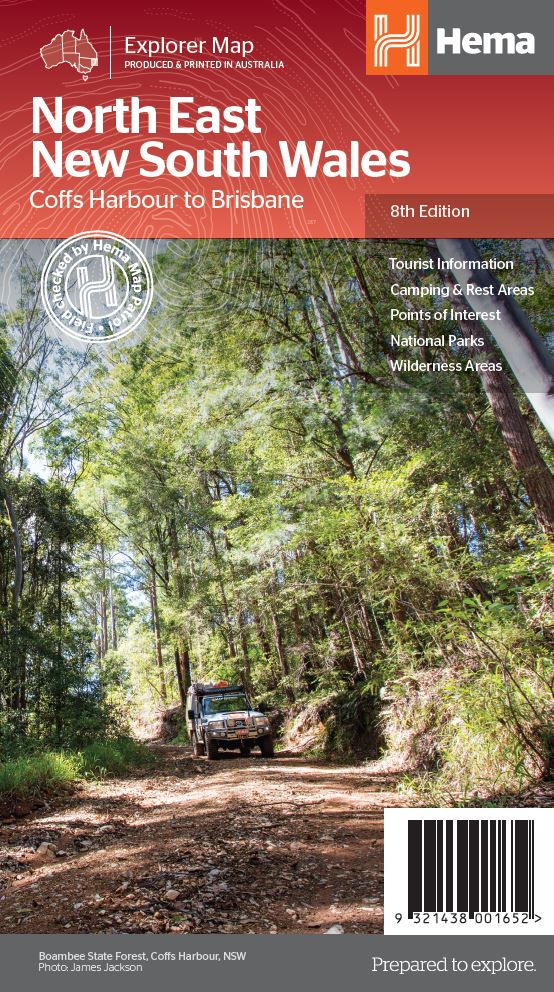
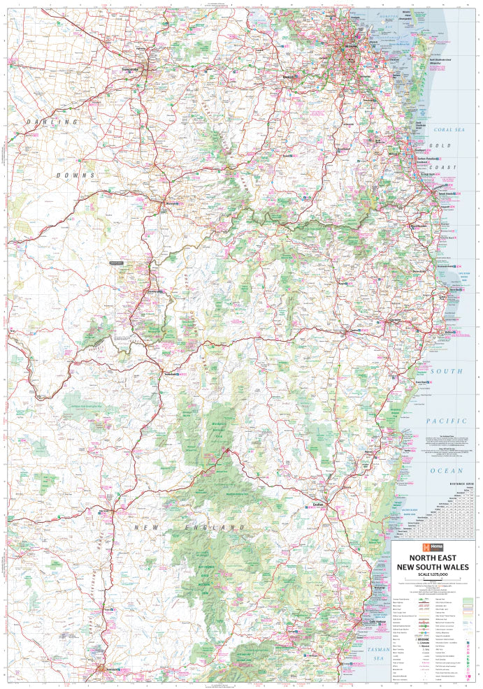
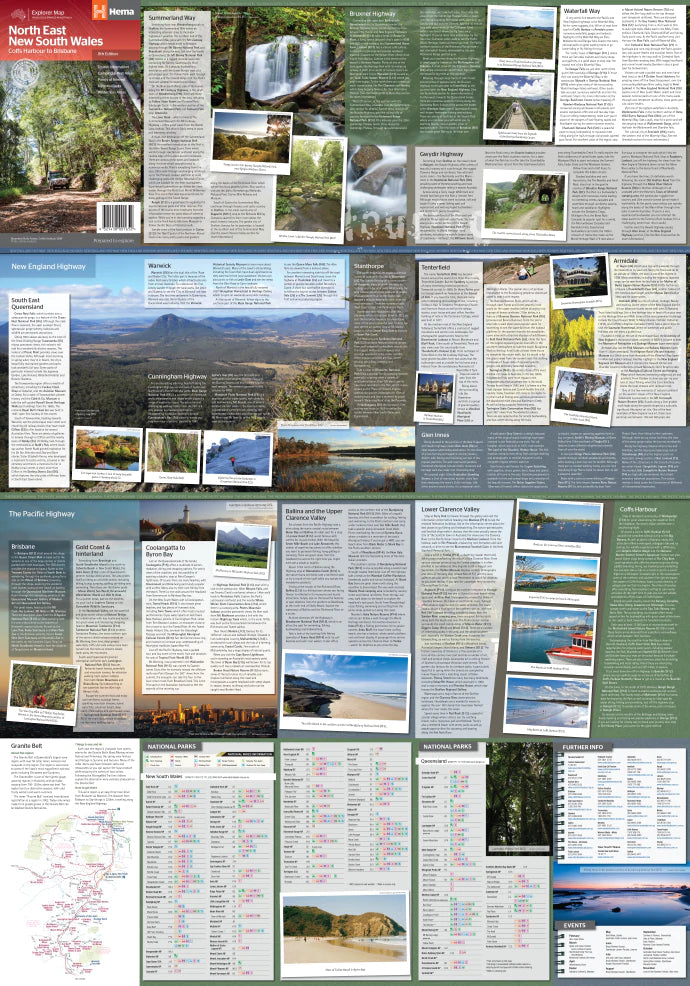
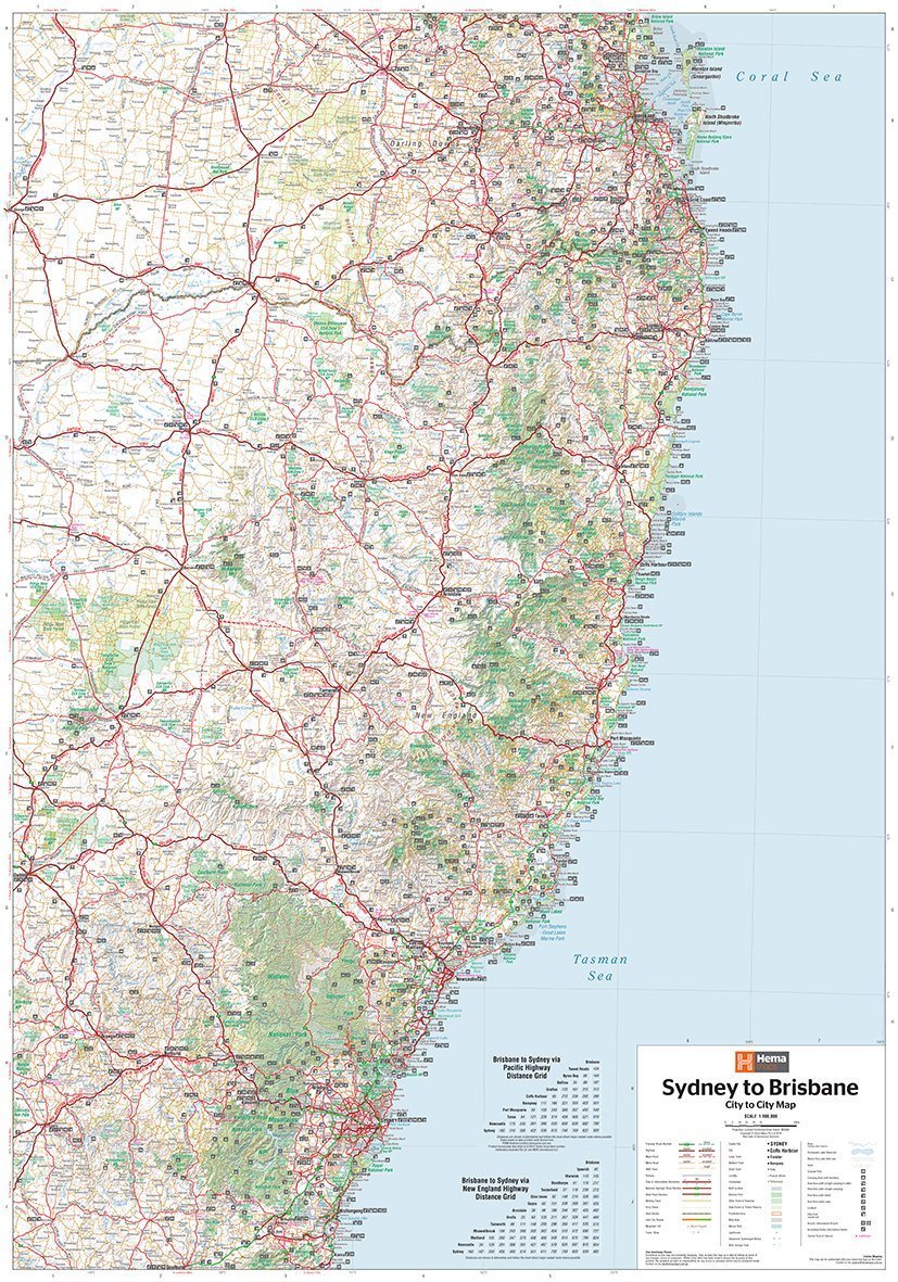
Northeastern Road Map of New South Wales (Australia) edited by Hema Maps. This map extends from Brisbane to Urunga (from north to south) and to Texas to the west.

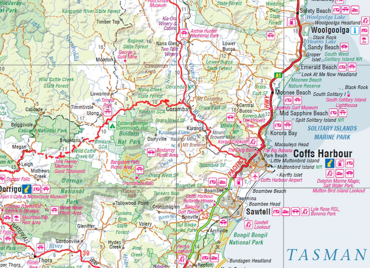
It covers the Summerland Way, Bruxner Highway, Waterfall Way and Gwydir Highway, as well as the main tourist attractions along the Pacific Route and the New England route.

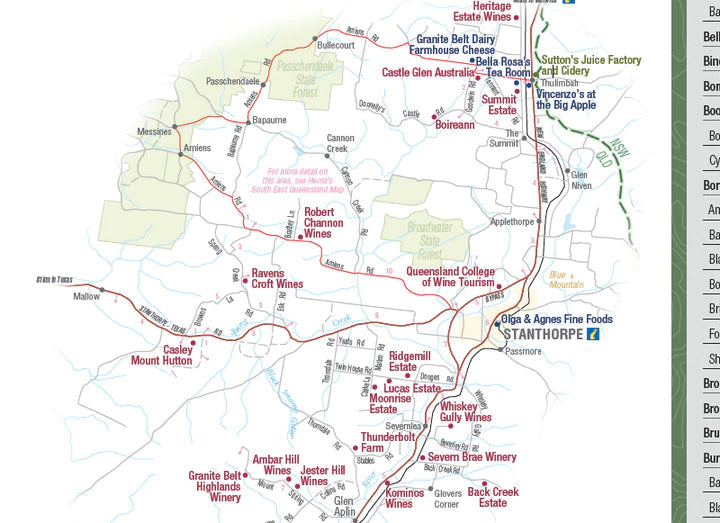
Distances shown on the map, tourist information (national parks, accommodation, distances etc ...). On the back, a lot of information about the tourist curiosities of the new South Galle.

Scale 1/375 000.


ISBN/EAN : 9321438001652
Publication date: 2013
Scale: 1/375,000 (1cm=3.75km)
Printed sides: both sides
Folded dimensions: 25 x 14 x 0.3cm
Unfolded dimensions: 100x70cm
Language(s): English
Poids : 80 g

Customer Reviews

Based on 1 review
100%
(1)
0%
(0)
0%
(0)
0%
(0)
0%
(0)
E
Etienne K.
Très satisfait

Correspond parfaitement à mon attente. Expédié (et reçu !) très rapidement. Merci