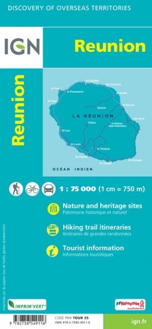
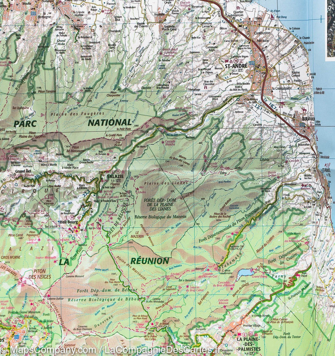
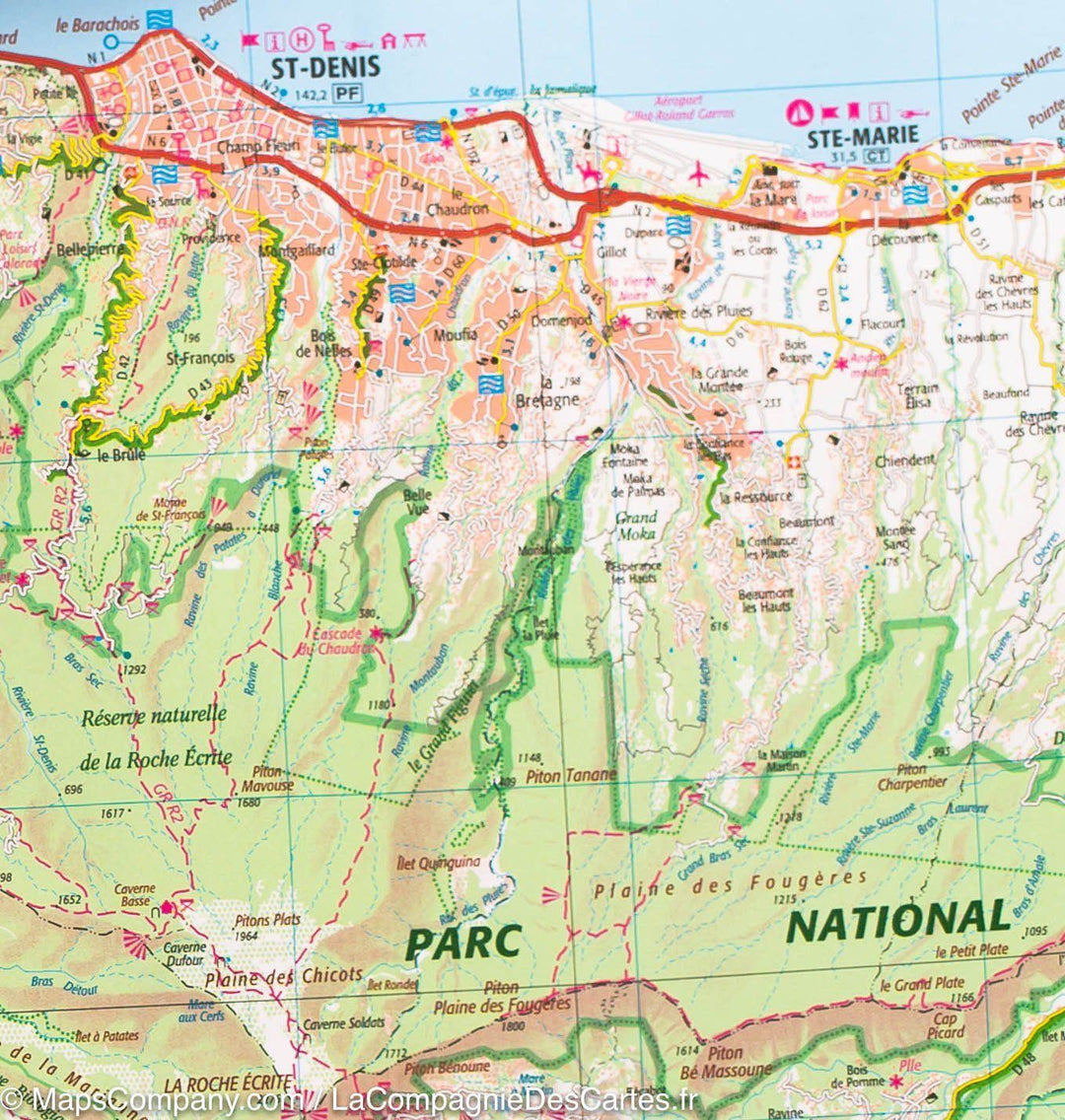
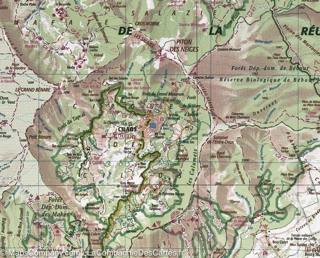
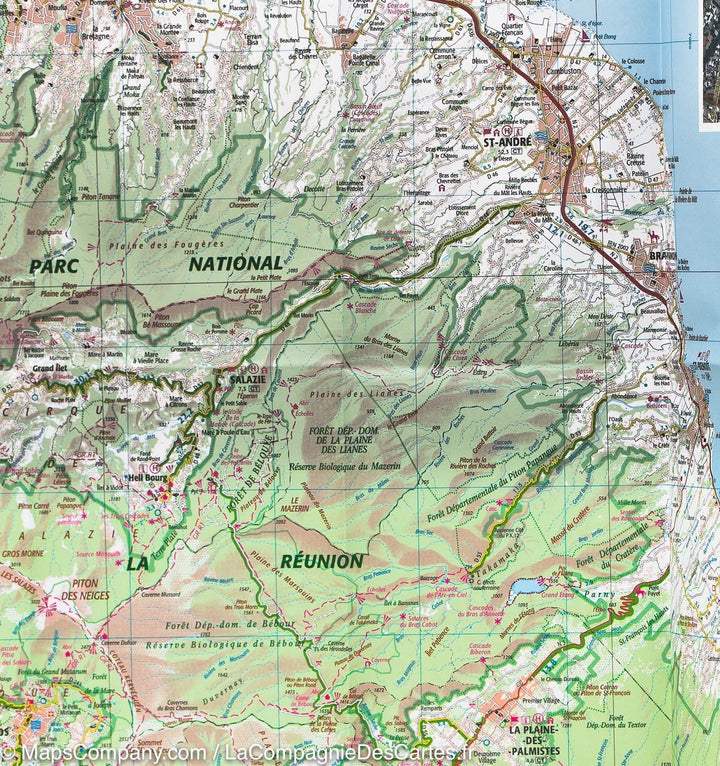
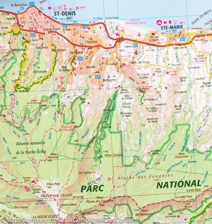
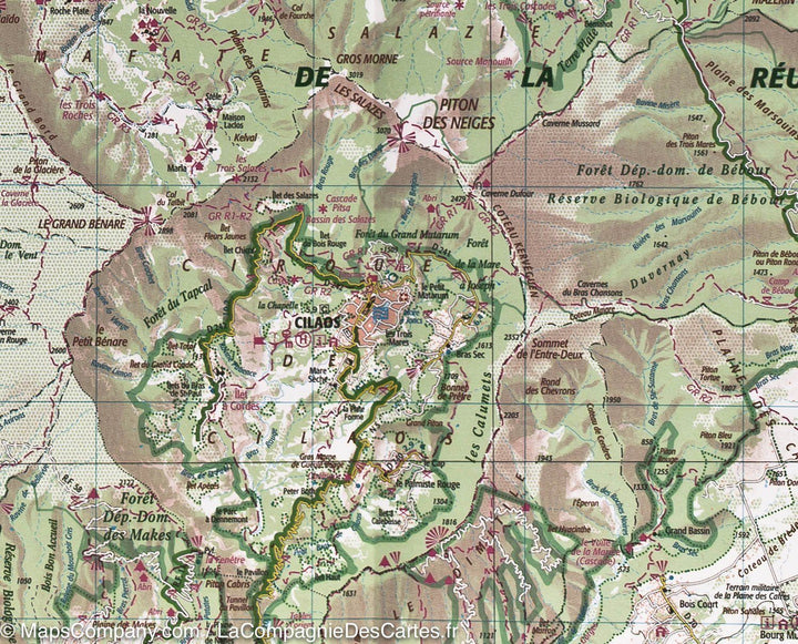
This is a laminated poster version of the detailed map of Réunion from the IGN.
Please note that this map is laminated on demand, based on the original folded map. The folds remain slightly visible.
The map is delivered rolled in a cardboard tube.
As this product is custom-made at the request of our customers, it cannot be returned.
This detailed map of Réunion is published by the IGN. Indication of hiking trails and outdoor activities.
Scale 1:75,000 (1 cm = 750 m).
ISBN / EAN : 9782758549116P
Date de publication : 2019
Echelle : 1/75,000 (1cm=750m)
Impression: front
Dimensions déplié(e) : 87 x 71cm
Langue : French English
Poids :
300 g


