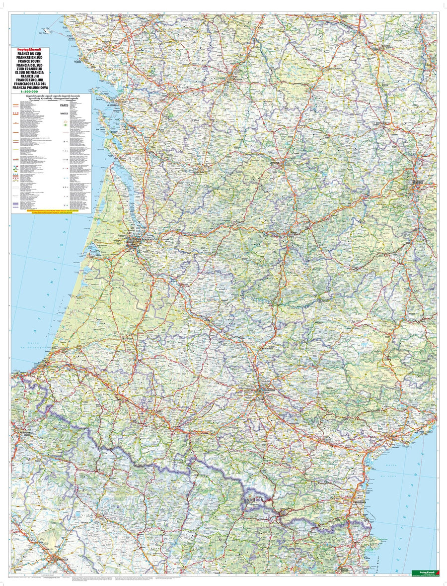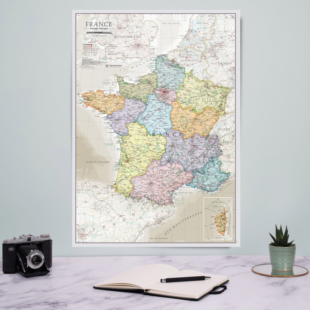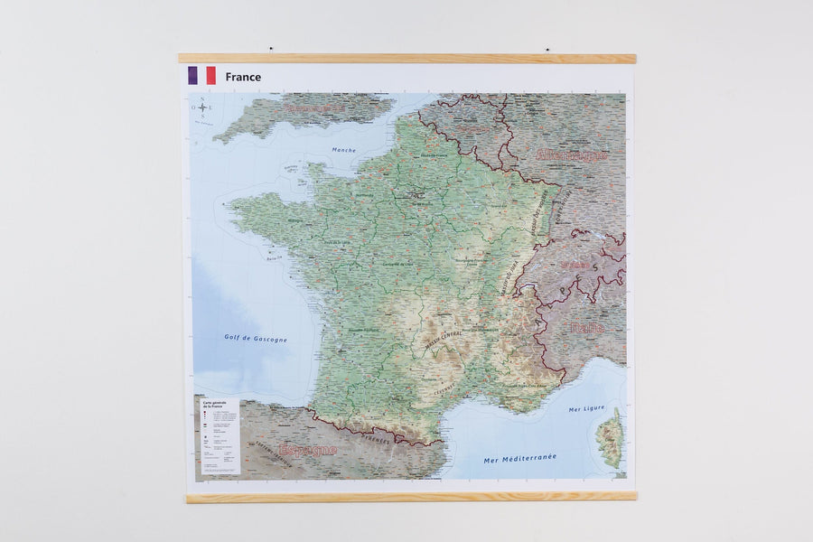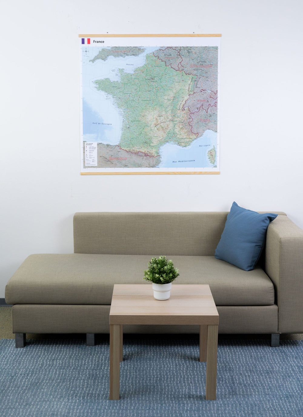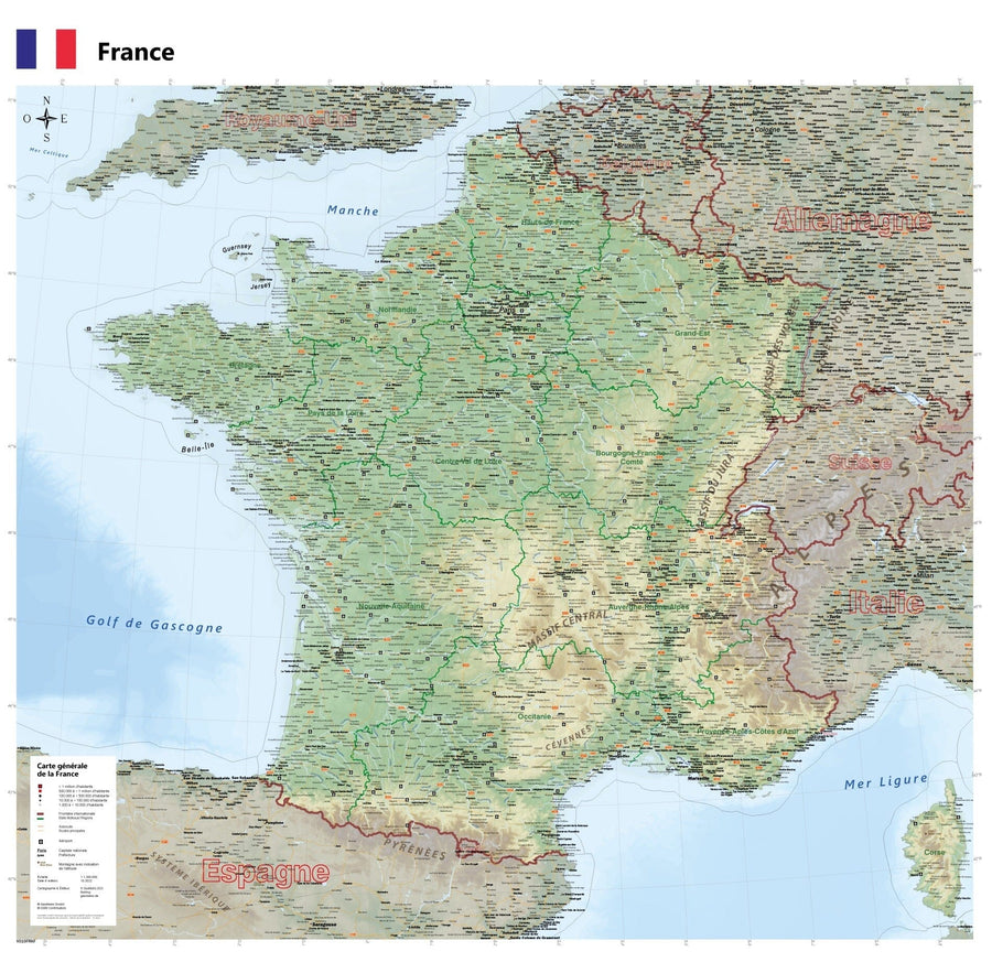


Wall map - France South (96 x 115 cm) | Freytag & Berndt
Regular price
$67.00
Regular price
Sale price
$67.00
Save $-67
/
- Shipping within 7 to 10 working days from our warehouse in France
- Delivery costs calculated instantly in the basket
Related geographic locations and collections: France Wall Maps, Wall Maps