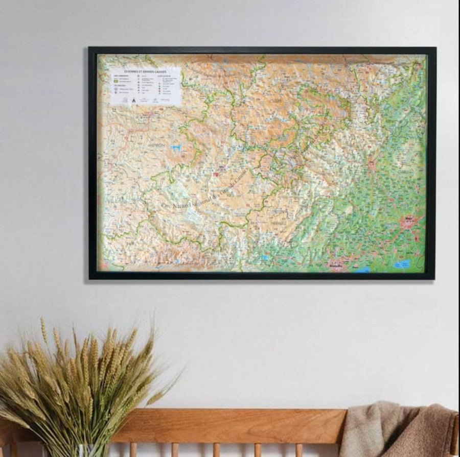
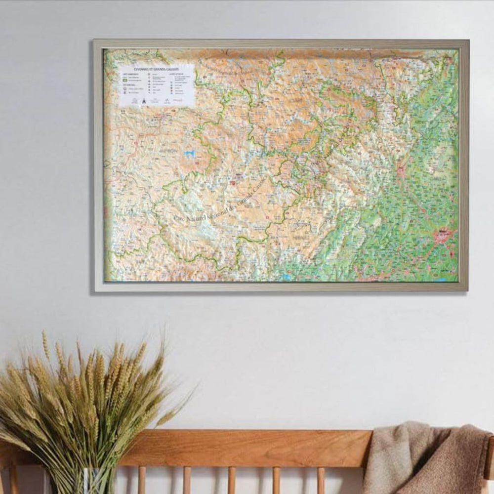
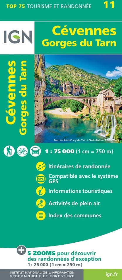
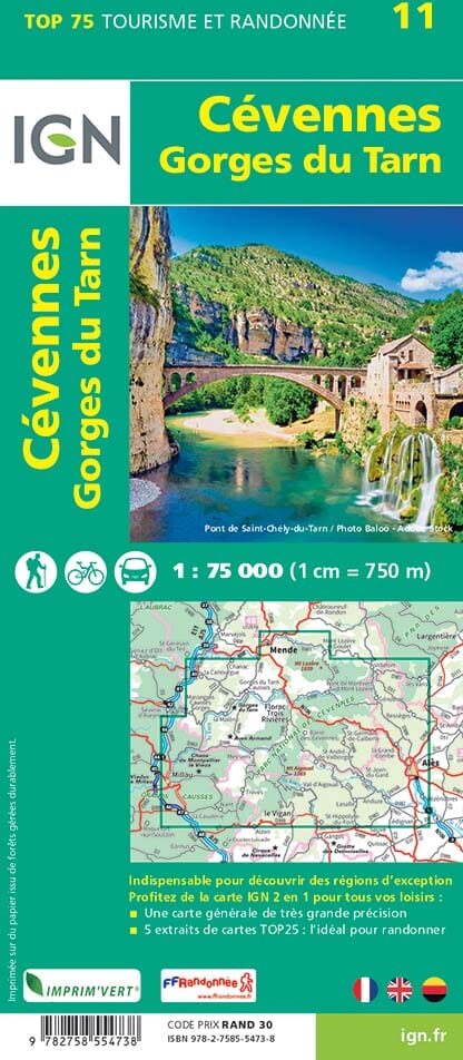
Relief wall map - Cévennes and Grands Causses - 61 cm x 41 cm | 3D Map

Price
Regular price $48.00
Regular price Sale price $48.00
Save $-48
/
  • Shipping within 24 working hours from our warehouse in France
  • Delivery costs calculated instantly in the basket
  • Real-time inventory
  • Low stock - 1 item left
  • Backordered, shipping soon
Tax included.

Often purchased together:

Relief wall map covering the Cévennes and Grands Causses department.

A finishing frame is also available as an option: We recommend it to make hanging easier and enhance your map.

Information included on the map:

- Tourist attractions:

  • Listed Site
  • Protected Historic Site or Monument
  • Most Beautiful Villages of France
  • Site of Tourist Interest
  • Museum
  • Religious Heritage
  • Cave, Waterfall, Gorge

- Outdoor Activities:

  • Long-distance Hiking Trails
  • Country Long-distance Hiking Trails
  • Canyoning Sites
  • Via Ferrata
  • Climbing Sites
  • Whitewater Activities
  • Paragliding Sites (www.ffvl.fr)
  • Takeoffs, Landings
  • Airports, Airfields

- Planimetric scale: 1:300,000

- Altimetric scale: 1:85,000


ISBN / EAN : 9791097206451
Date de publication : 2023
Echelle : 1/270,000 (1cm=2.7km)
Dimensions déplié(e) : 61cm x 41cm
Langue : French
Poids : 136 g

Customer Reviews

Based on 1 review
100%
(1)
0%
(0)
0%
(0)
0%
(0)
0%
(0)
M
Marie-Pierre B. (Montpellier, FR)
Hypnotique

On passe du temps à repérer et comprendre notre région. La carte est très détaillée.