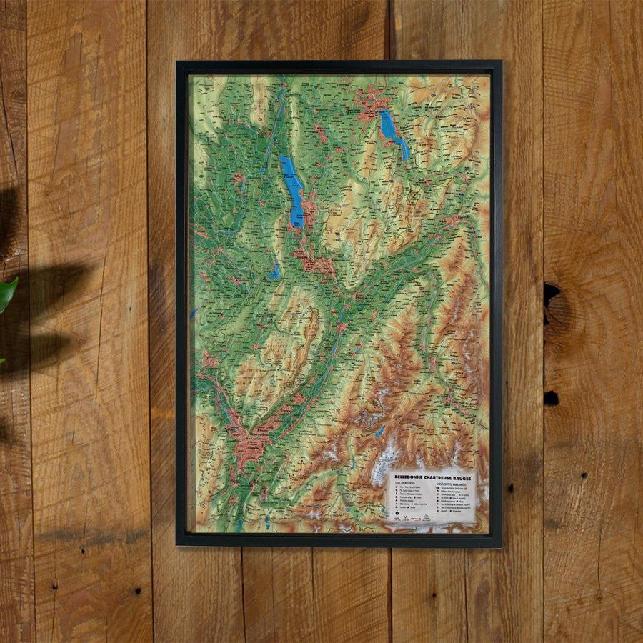
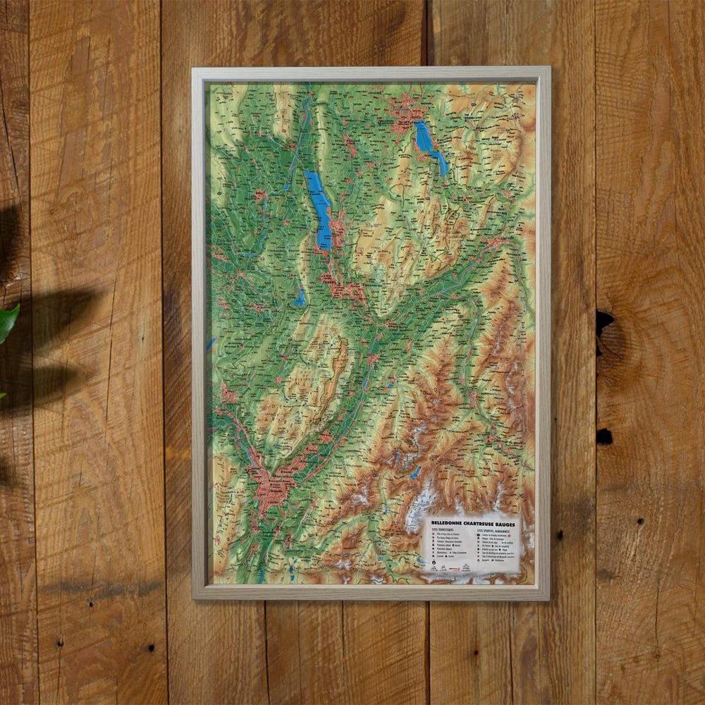
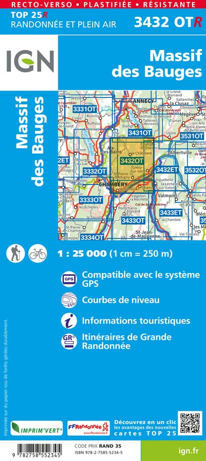
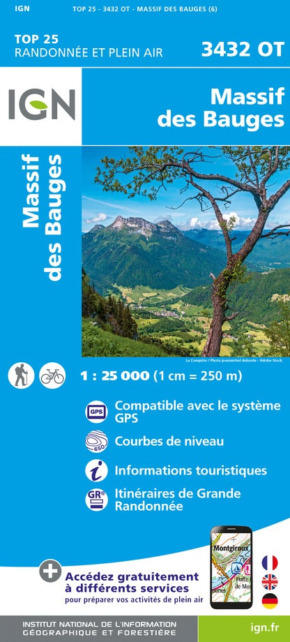
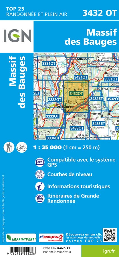
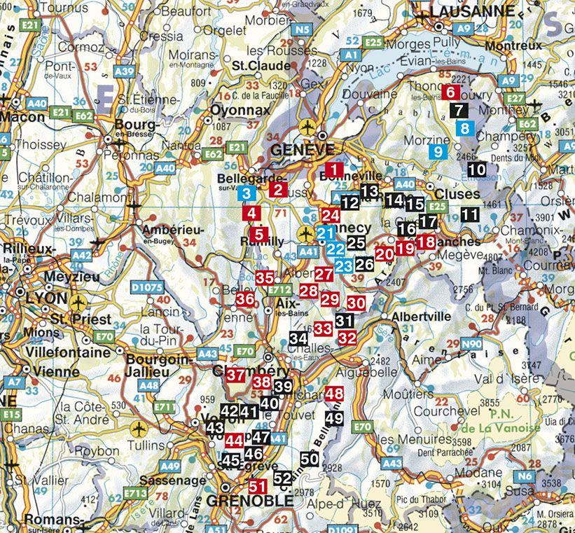
Relief wall map that covers the region of the Bauges Massif, Belledonne and Chartreuse.
A finishing frame is also available as an option: We highly recommend it to make hanging easier and to enhance the appearance of your map.
Information included on the map:
- General data:
• Hydrological, natural and hypSometric data - Administrative data
- Tourist attractions:
- Sports Sites, Hiking:
- Scale & Dimensions:
• Planimetric Scale: 1: 185,000
• Altimetry scale: 1: 120,000
• 61 cm x 41 cm
ISBN / EAN : 9791097206284
Date de publication : 2020
Echelle : 1/185,000 (1cm=1.85km)
Dimensions déplié(e) : 41cm x 61cm
Langue : French
Poids :
136 g


