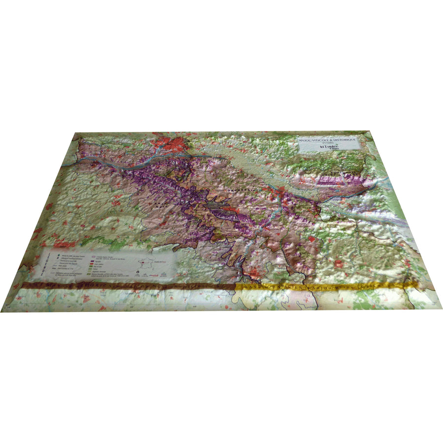
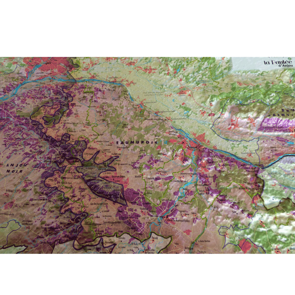
Relief wall map covering the Anjou wine region.
A finishing frame is also available as an option: We recommend it to facilitate hanging and enhance your map.
Information included on the map:
- VITICULTURAL AND HISTORICAL DATA: • Wine-growing boundaries • The 3 major wine-growing regions: Anjou Noir, Saumurois, Bourgeuil, and Saint Nicolas • The Vineyards • Historic Anjou in 1720
- GEOLOGICAL AND NATURAL DATA: • Boundary between the geological layers of Anjou Noir (Armorican Massif) and Anjou Blanc (Paris Basin) • Woods and Forests • Grasslands • Sparse Vegetation • Nature Reserves • Loire Anjou Touraine Regional Natural Park, including part of the Loire listed by UNESCO in 2000 • Airports, Airfields
- TOURIST DATA: • Castles and monuments • Regional Natural Park House Loire Anjou Touraine • Loire à Vélo Route • Vélo Francette Route
• Planimetric scale: 1:175,000 • Altimetric scale: 1:8,000,000
ISBN / EAN : 9791097206482
Date de publication : 2023
Echelle : 1/220,000 (1cm=2.2km)
Dimensions déplié(e) : 41cm x 61cm
Langue : French
Poids :
136 g


