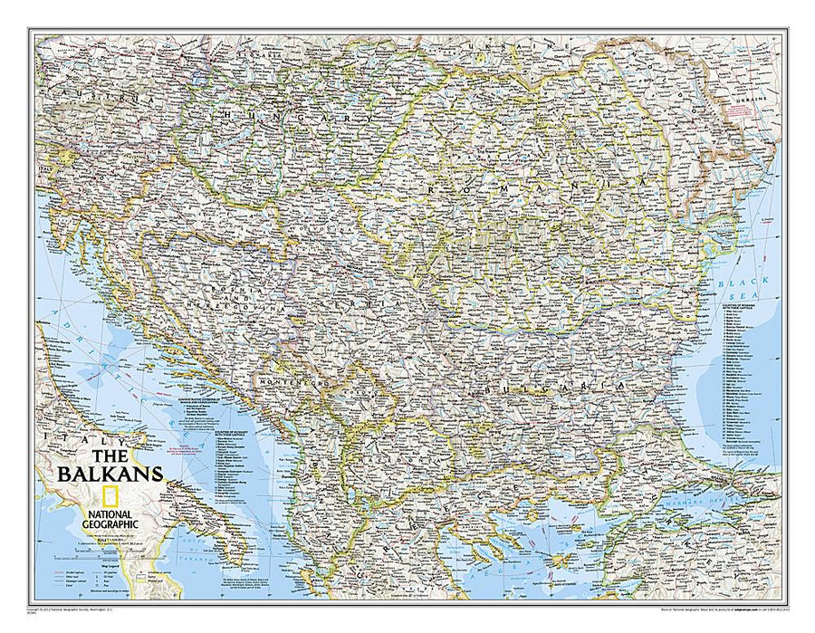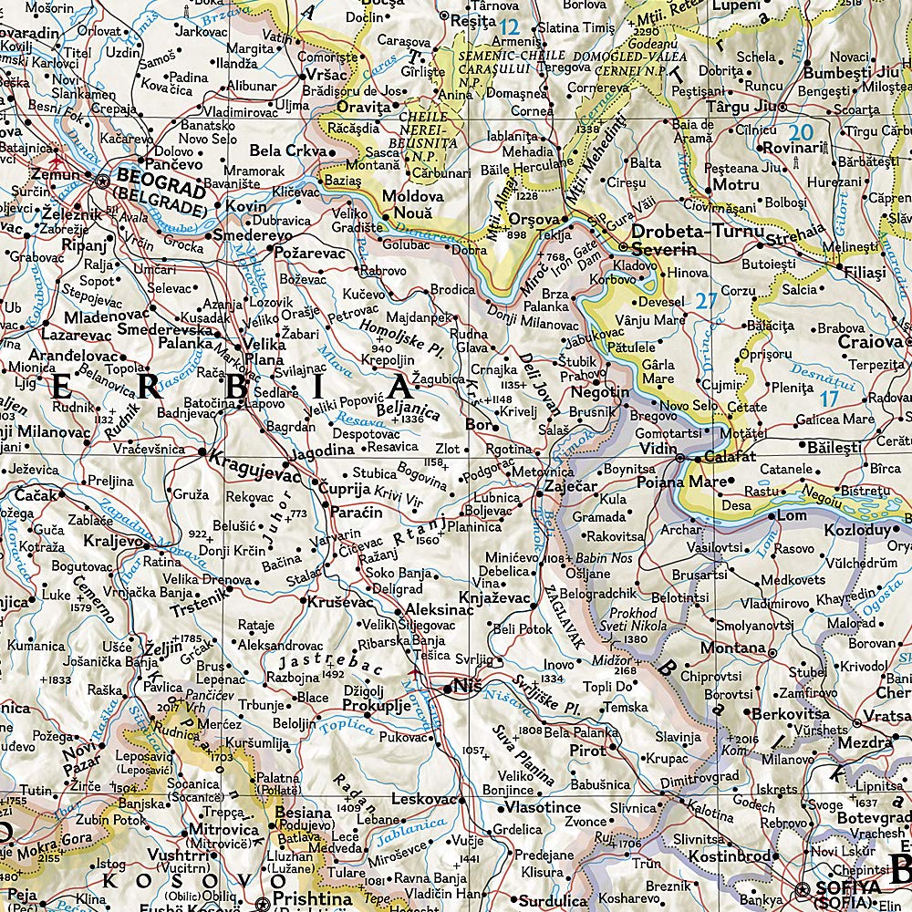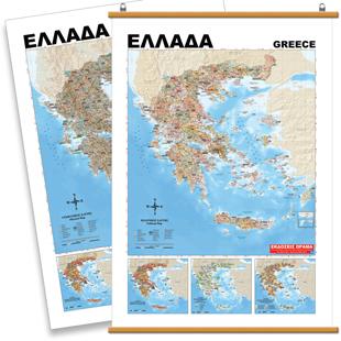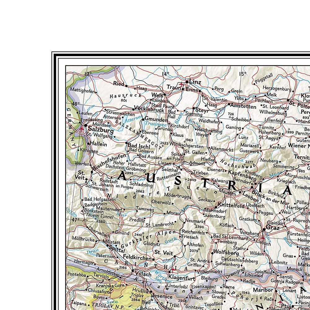
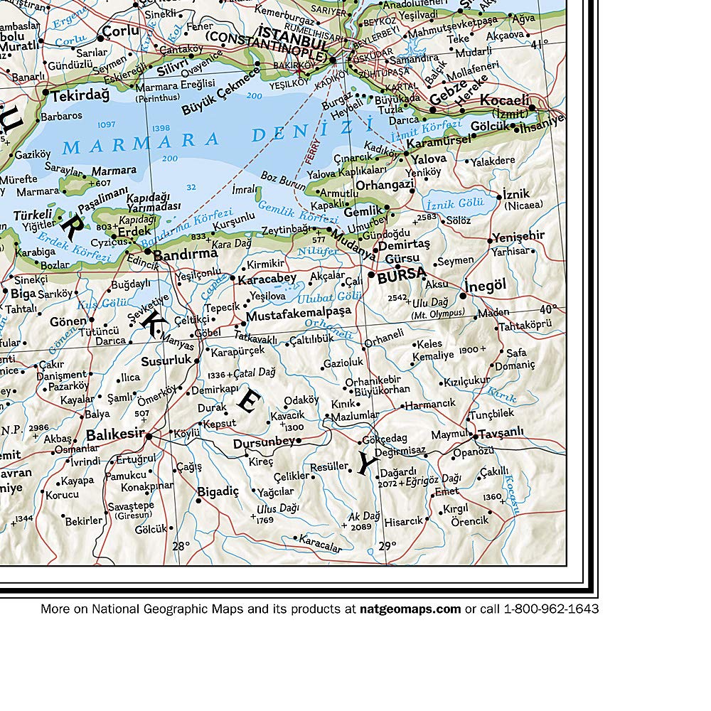


Wall map - Balkans - 77 x 60 cm | National Geographic
Regular price
$35.00
Regular price
Sale price
$35.00
Save $-35
/
- Shipping within 24 working hours from our warehouse in France (except laminated models)
- Delivery costs calculated instantly in the basket
- Real-time inventory
Related geographic locations and collections: Balkan Wall Maps, Balkans