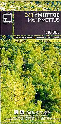
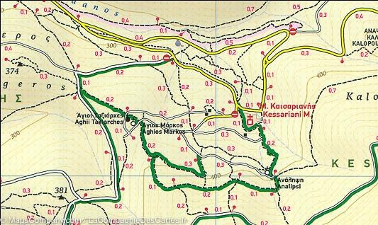
Carte de randonnée du mont Hymette (Grèce) | Terrain Cartography - La Compagnie des Cartes
Carte de randonnée - Mont Hymette (Grèce) | Terrain Cartography carte pliée Terrain Cartography

Hiking Map - Mont Hymette (Greece) | Terrain Cartography

Hiking Map - Mont Hymette (Greece) | Terrain Cartography

Regular price $12.00 Sale price $7.00 Save $5
/
  • Shipping within 24 working hours from our warehouse in France
  • Delivery costs calculated instantly in the basket
  • Free returns (*)
  • Real-time inventory
  • In stock, ready to ship
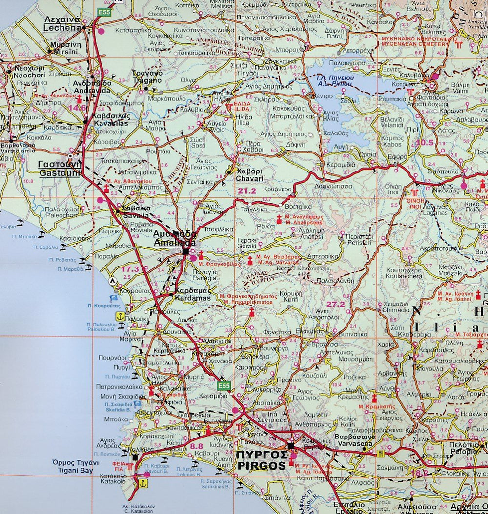
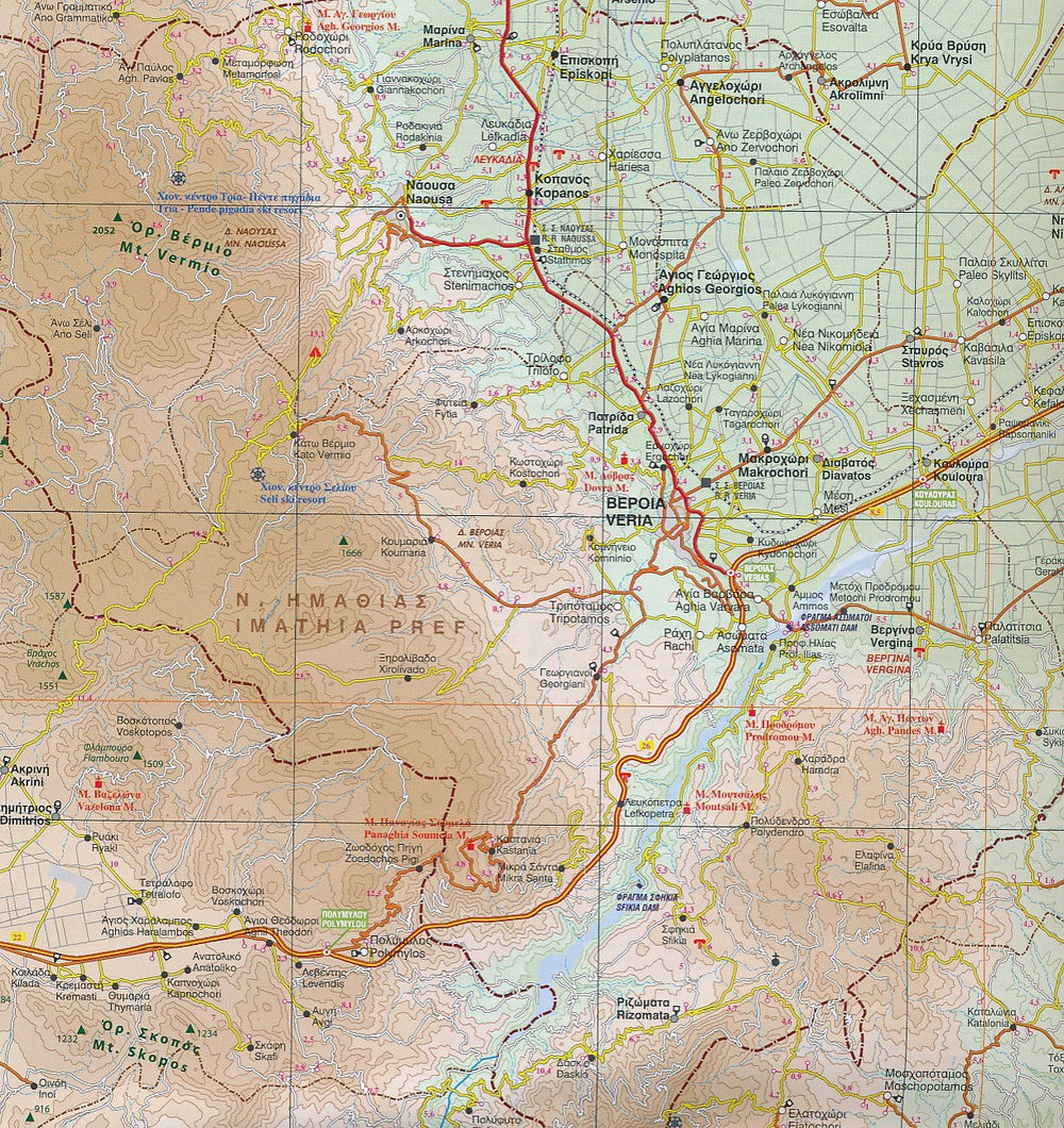
  • Backordered, shipping soon
Tax included.
Waterproof Topographic Map of Mount Hymette (center of Greece, southeast of Athens) edited by Cartography. Level curves, indication of hiking trails. All the names are in Greek and Latin. Tourist information (points of interest, maritime links ...) and selection of hikes with duration and distance (on the back). Multilingual map (French, English, German and Greek). Detailed map protected by a laminated case. Scale 1 / 10,000 (1 cm = 100 m).


ISBN/EAN : 9789609456180
Publication date: 2015
Scale: 1/10,000 (1cm=100m)
Printed sides: both sides
Folded dimensions: 25 x 12.5 x 0.5cm
Unfolded dimensions: 100 x 68cm
Language(s): English, Greek
Poids : 78 g

Customer Reviews

No reviews yet
0%
(0)
0%
(0)
0%
(0)
0%
(0)
0%
(0)