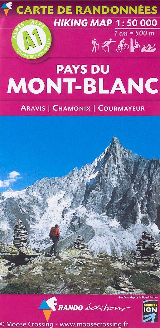
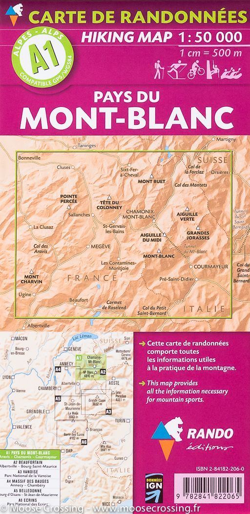
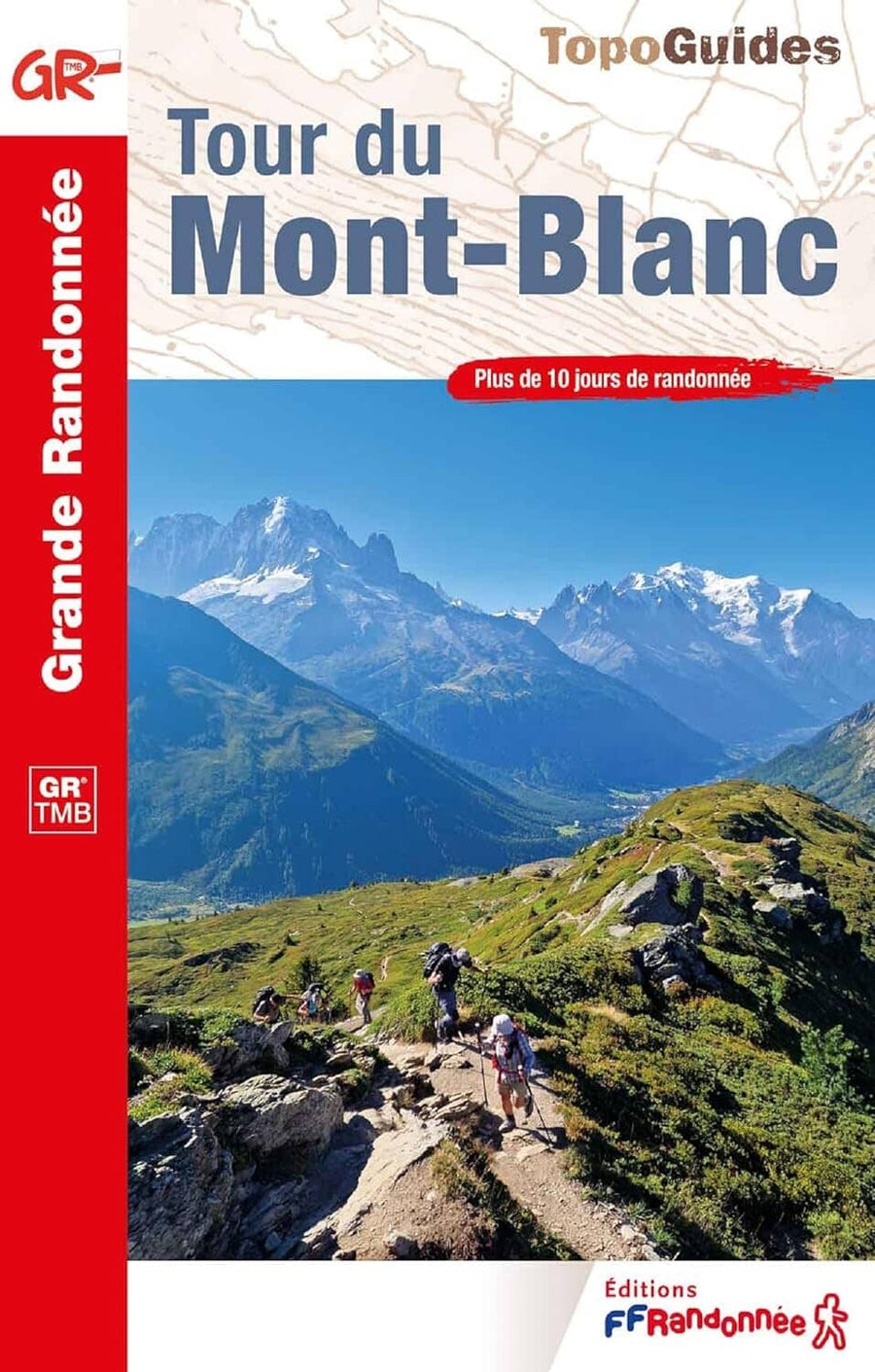
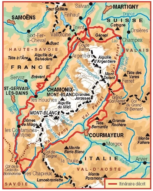
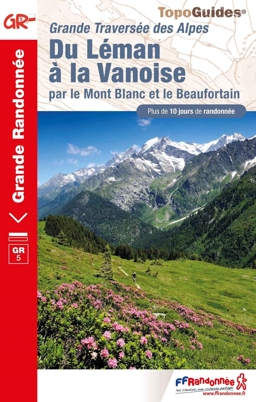
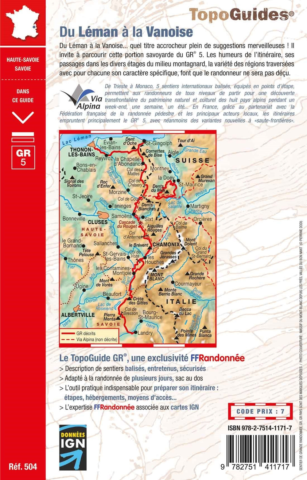
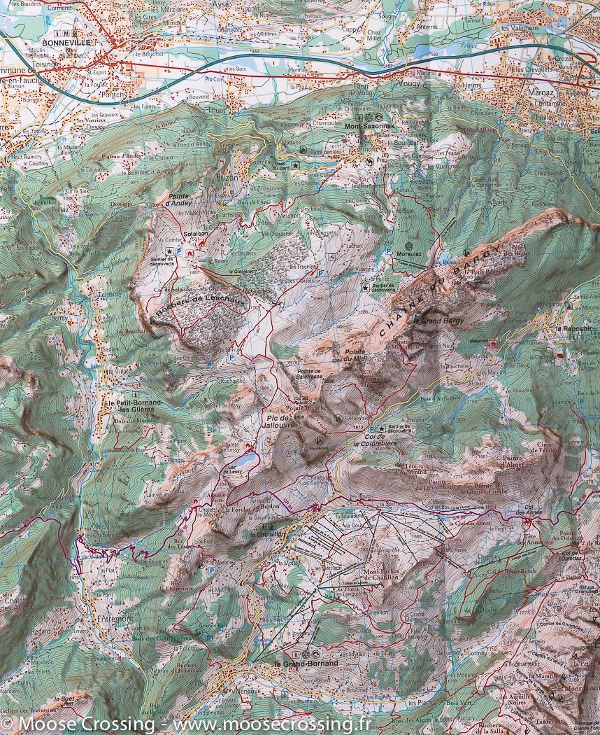
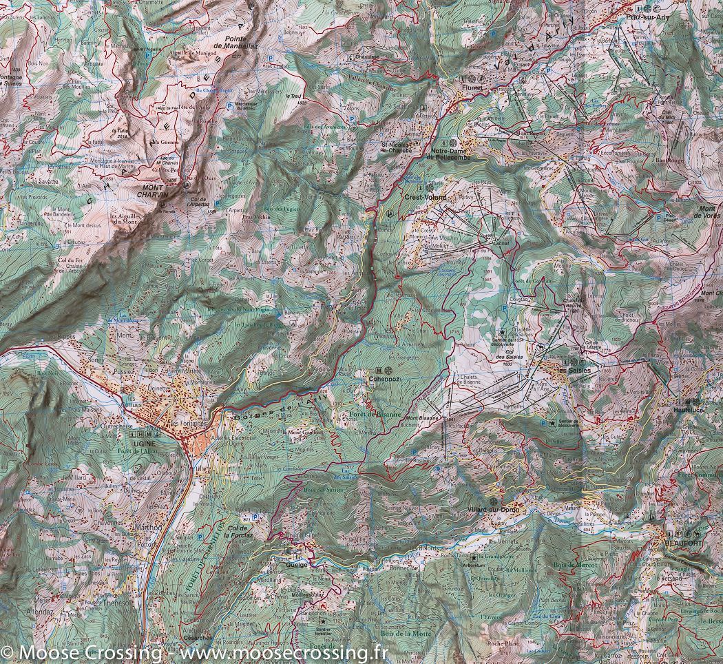
Carte de randonnée du Mont Blanc, A1 | Rando éditions - La Compagnie des Cartes

Hiking Map # A1 - Mont Blanc | Rando editions (French)

Hiking Map # A1 - Mont Blanc | Rando editions (French)

Regular price $16.00
/
  • Shipping within 24 working hours from our warehouse in France
  • Delivery costs calculated instantly in the basket
  • Free returns (*)
  • Real-time inventory
  • In stock, ready to ship
  • Backordered, shipping soon
Tax included.
Detailed topographic map of Chamonix. Hiking Map Alps A1 edited by Rando editions, which covers the Chamonix, Courmayeur and Pass of Aravis. Hiking Map with 20-meter remote level curves and useful information for mountain practice included.


ISBN/EAN : 9782841822065
Publication date: 2003
Scale: 1/50,000 (1cm=500m)
Printed sides: front
Folded dimensions: 22.5 x 11 x 0.5cm
Unfolded dimensions: 132 x 90cm
Language(s): French English
Poids : 89 g

Customer Reviews

Based on 1 review
100%
(1)
0%
(0)
0%
(0)
0%
(0)
0%
(0)
S
SOPHIE A. (Bern, CH)

Na