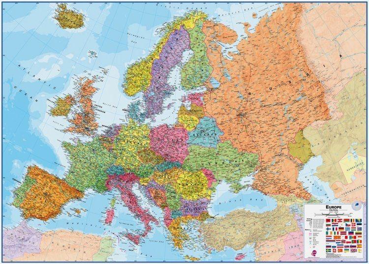
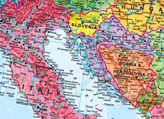
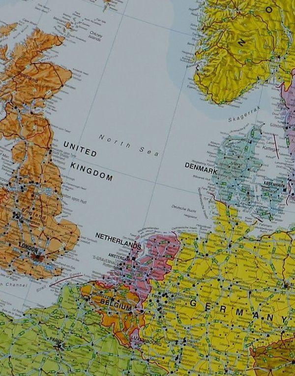
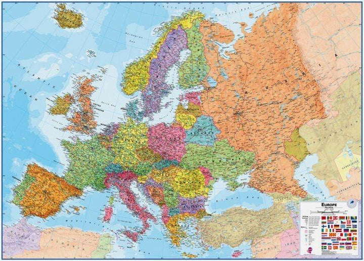
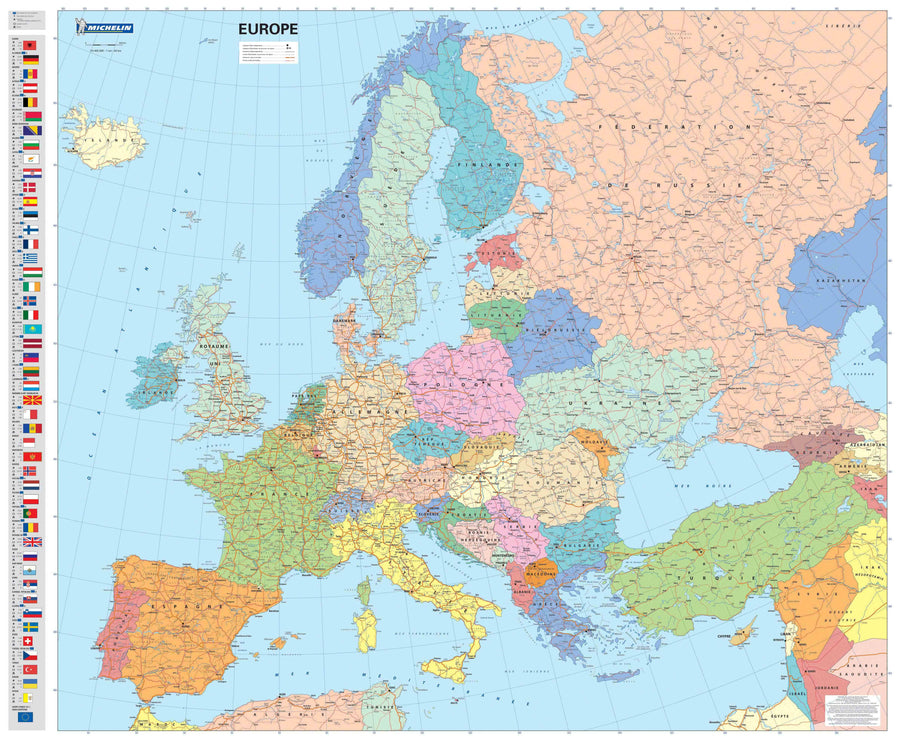
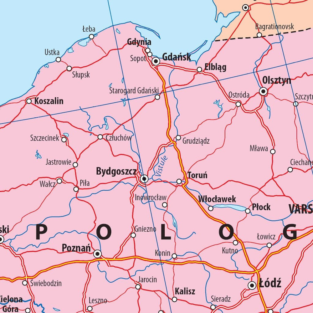
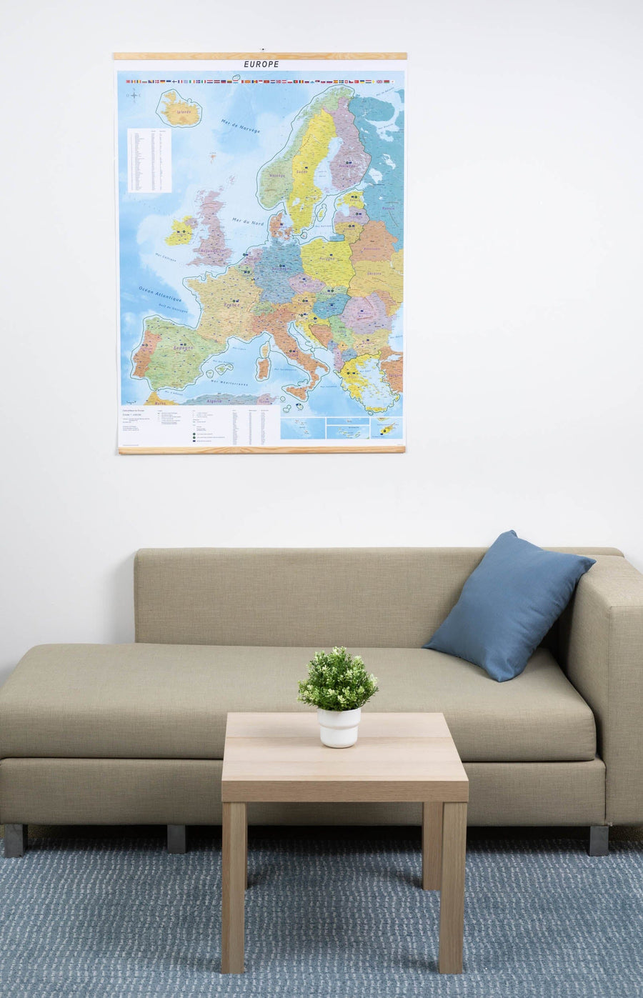
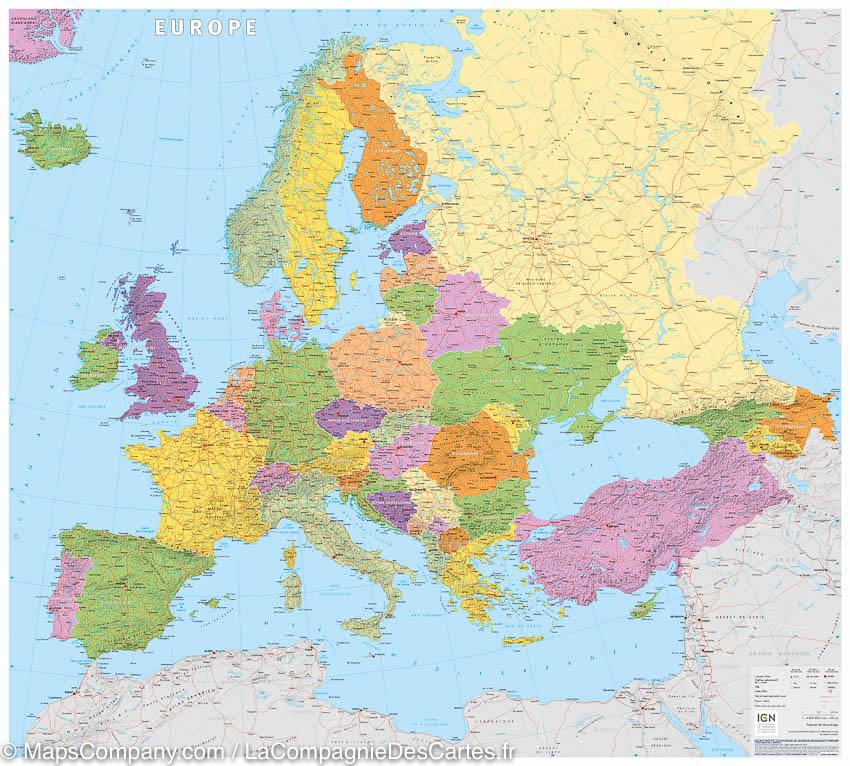
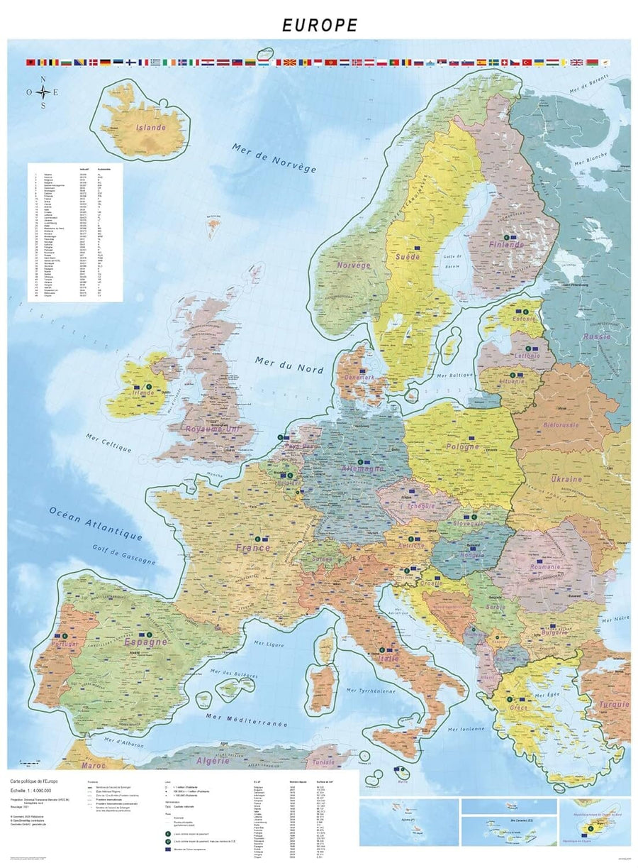
Wall map of political Europe (in English). The political maps of Maps International present the countries with bright colors and the bottom of the oceans in light blue.
The dimensions of the wall board are: 135 x 98 cm.
exists in several finishes: paper, laminated, laminated with metal slats of holding.
ISBN / EAN : 9781903030677
Date de publication : 2023
Echelle : 1/4,300,000 (1cm=43km)
Impression: front
Dimensions déplié(e) : 135 x 98cm
Langue : English
Poids :
300 g


