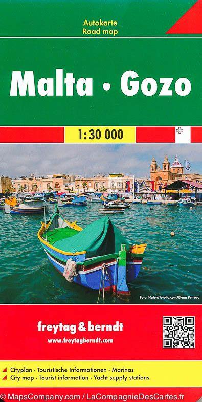
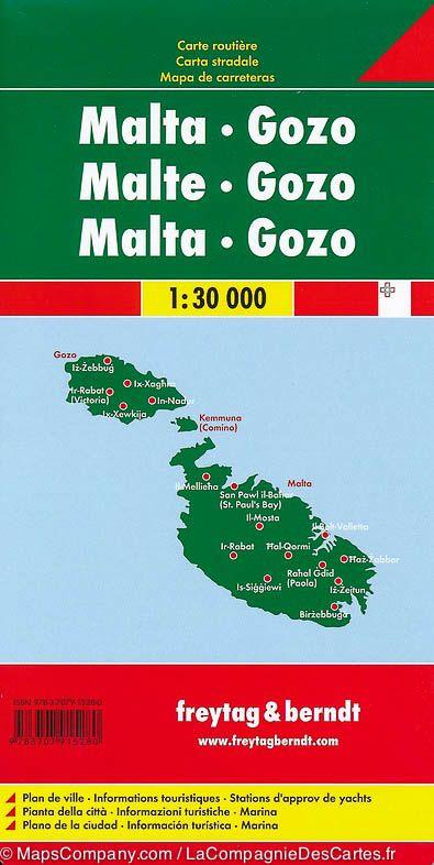
Malta and Gozo Road map published by Freytag & Amp Berndt.Cartography of the field. 20 m space curves. Enhancement of points of interest (sites to see, beaches, ...) and indication of ferry lines between the islands.
Distances shown on the map. Index of cities included.
In inset, map of the center of La Valette and Sliema.
Multilingual legend (French, English, German, Italian, Spanish ...). Scale 1: 30,000 (1 cm = 300 m).
ISBN/EAN : 9783707916744
Publication date: 2018
Scale: 1/30,000 (1cm=300m)
Printed sides: front
Folded dimensions: 26x13cm
Unfolded dimensions: 112 x 57cm
Language(s): multilingual including French
Weight:
110 g


