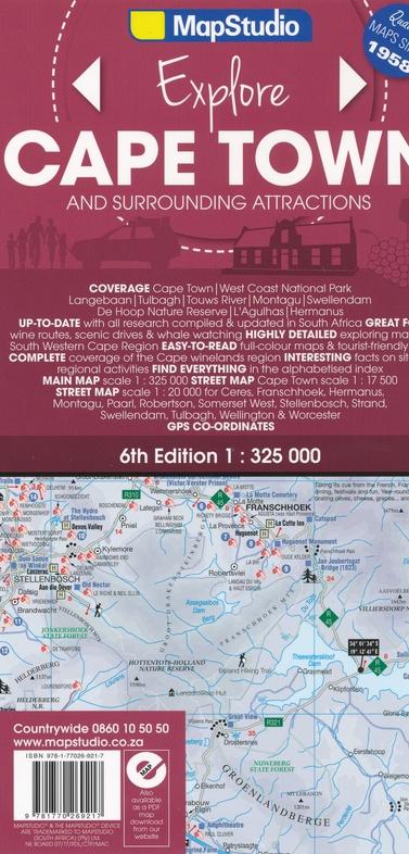
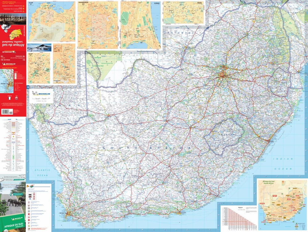
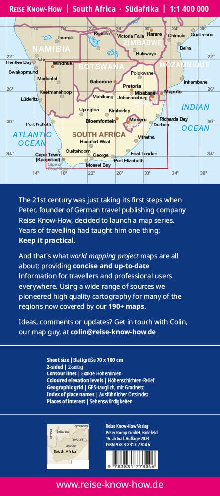
Cape Town Map & Surroundings (South Africa) | MapStudio
Regular price
$18.00
Regular price
Sale price
$18.00
Save $-18
/
- Shipping within 24 working hours from our warehouse in France
- Delivery costs calculated instantly in the basket
- Free returns (*)
- Real-time inventory
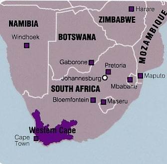
Related geographic locations and collections: Cape Town, Route 62 (South Africa), South Africa