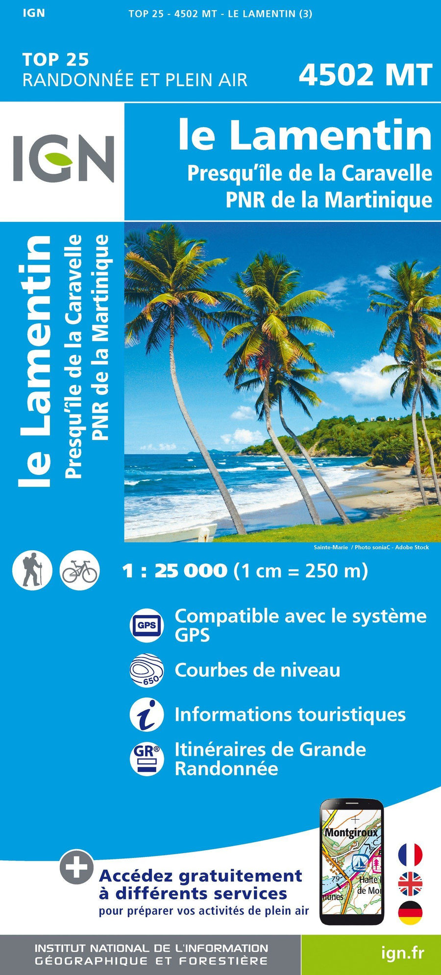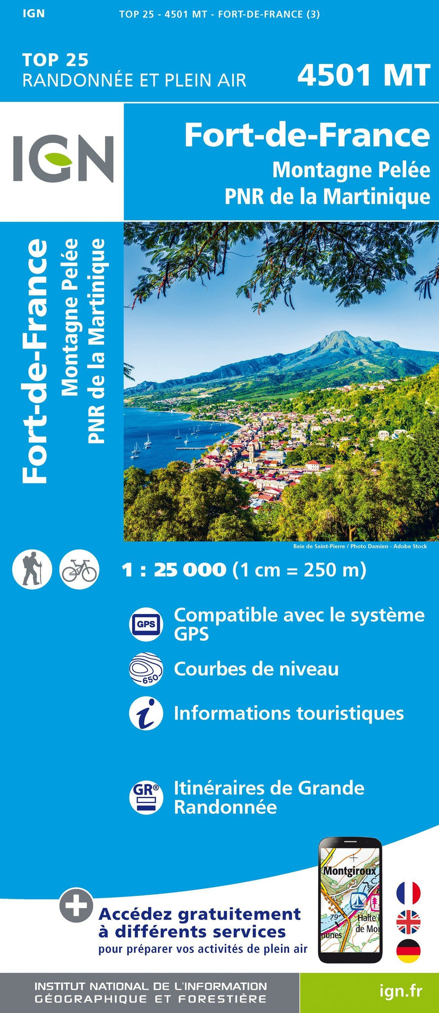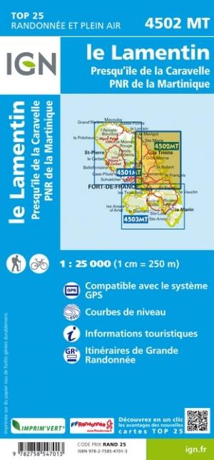
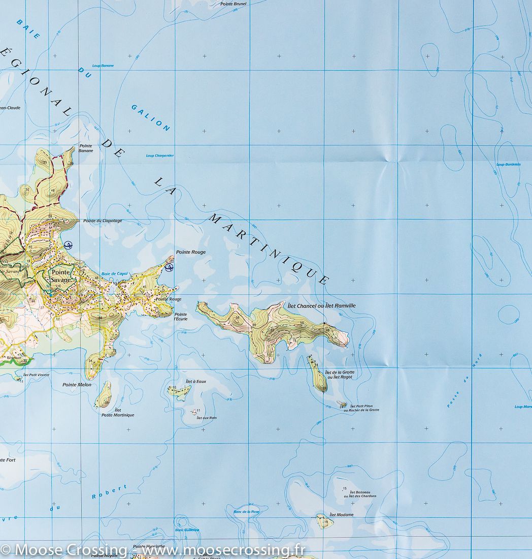
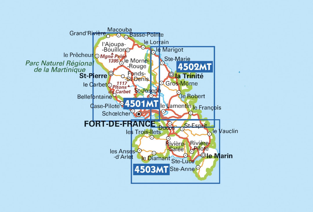


TOP 25 Map No. 4502 MT - Martinique Centre (Le Lamentin, Caravelle Peninsula) | IGN
Regular price
$17.00
Regular price
Sale price
$17.00
Save $-17
/
- Shipping within 24 working hours from our warehouse in France
- Delivery costs calculated instantly in the basket
- Free returns (*)
- Real-time inventory
- In stock, ready to ship
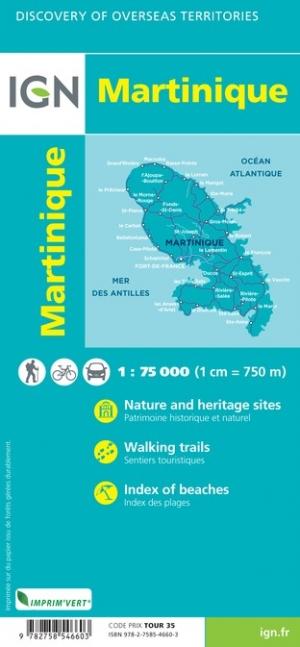
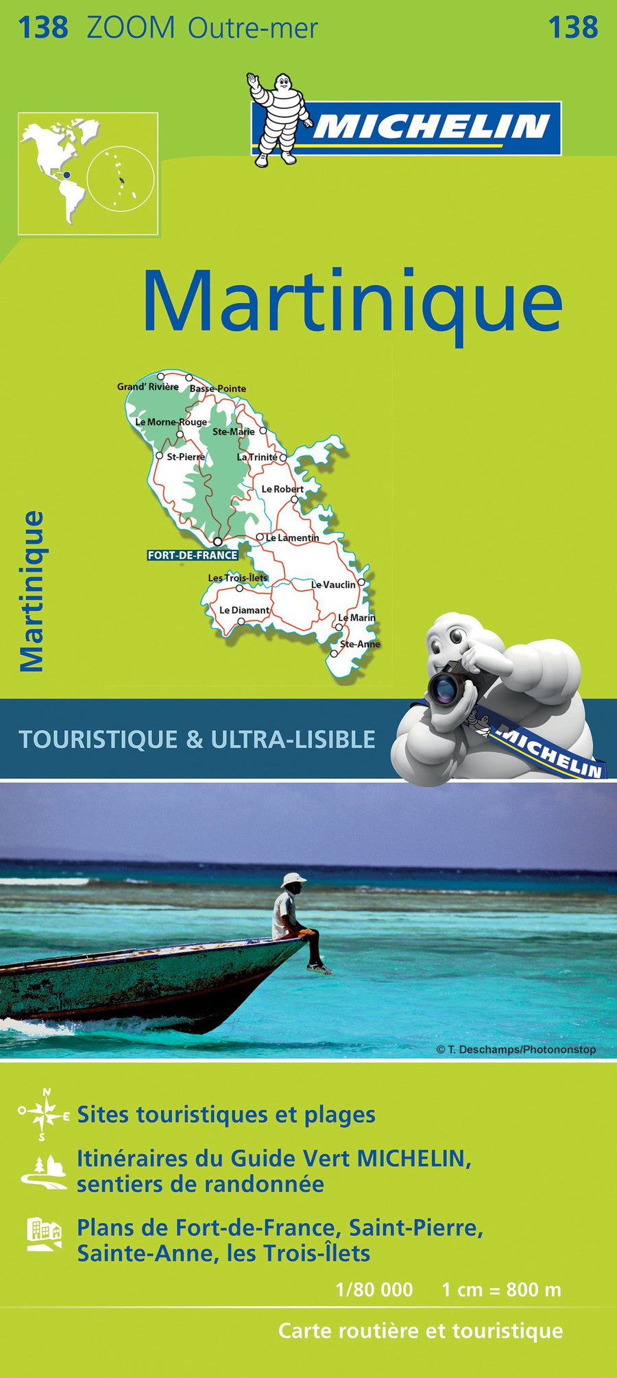
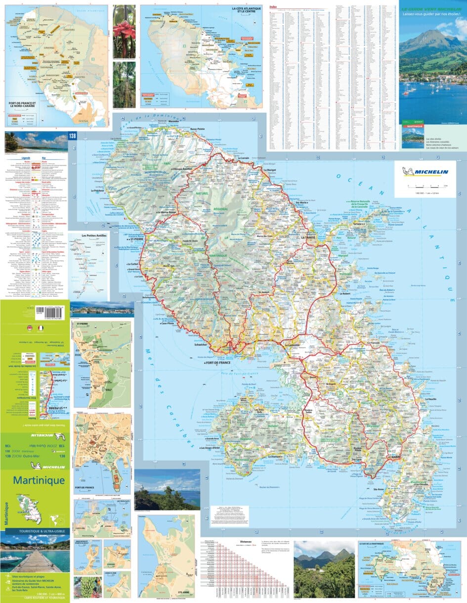
Related geographic locations and collections: Caribbean Islands, France hiking maps - IGN TOP 25 & SÉRIE BLEUE, Lesser Antilles, Martinique