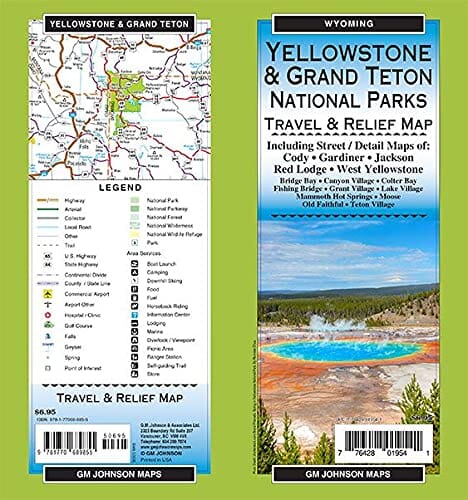
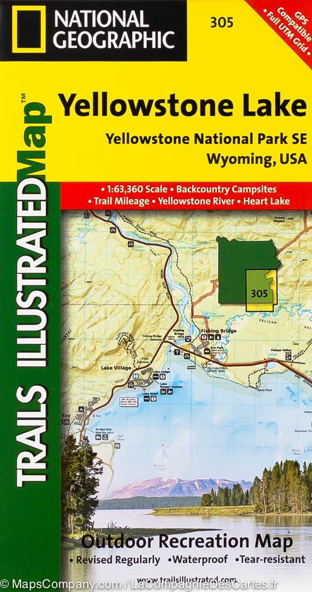
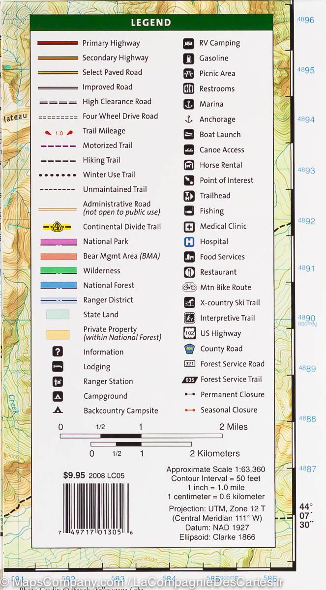
Hiking map No. 305 - Lake Yellowstone Lake (Yellowstone National Park, USA) | National Geographic
Regular price
$17.00
Regular price
Sale price
$17.00
Save $-17
/
- Shipping within 24 working hours from our warehouse in France
- Delivery costs calculated instantly in the basket
- Free returns (*)
- Real-time inventory
- Low stock - 1 item left
Related geographic locations and collections: Northwest USA, Wyoming, Yellowstone National Park


![Yellowstone National Park Map & Day Hikes [Map Pack Bundle] | National Geographic carte pliée](http://mapscompany.com/cdn/shop/products/yellowstone-national-park-map-day-hikes-map-pack-bundle-national-geographic-carte-pliee-national-geographic-203104.jpg?v=1694452529&width=900)