Carte routière du Kenya | Freytag & Berndt - La Compagnie des Cartes

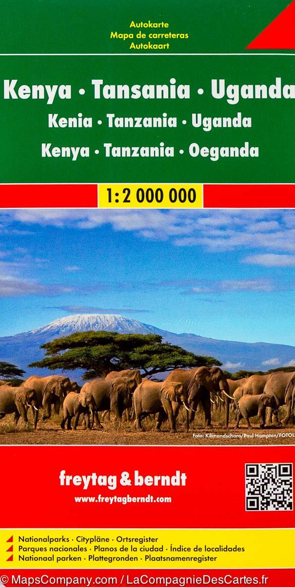
Road Map - Kenya | Freytag & Berndt

Road Map - Kenya | Freytag & Berndt

Regular price $15.00
/
  • Shipping within 24 working hours from our warehouse in France
  • Delivery costs calculated instantly in the basket
  • Free returns (*)
  • Real-time inventory
  • In stock, ready to ship
  • Backordered, shipping soon
Tax included.

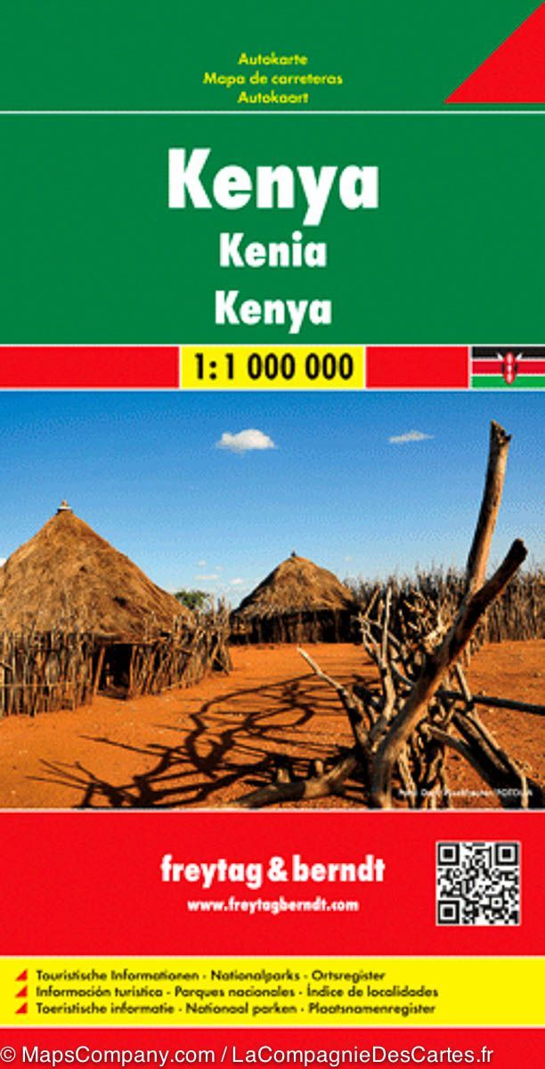
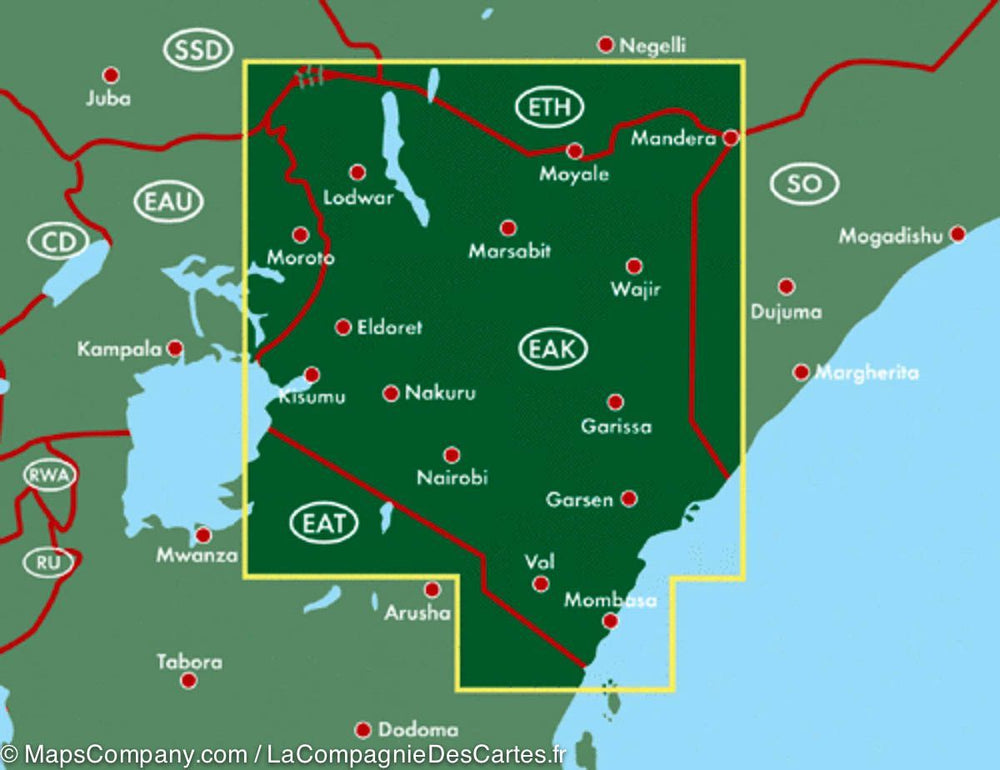
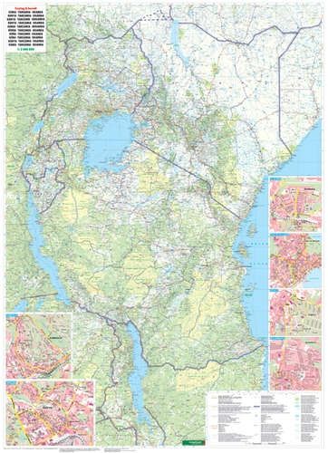
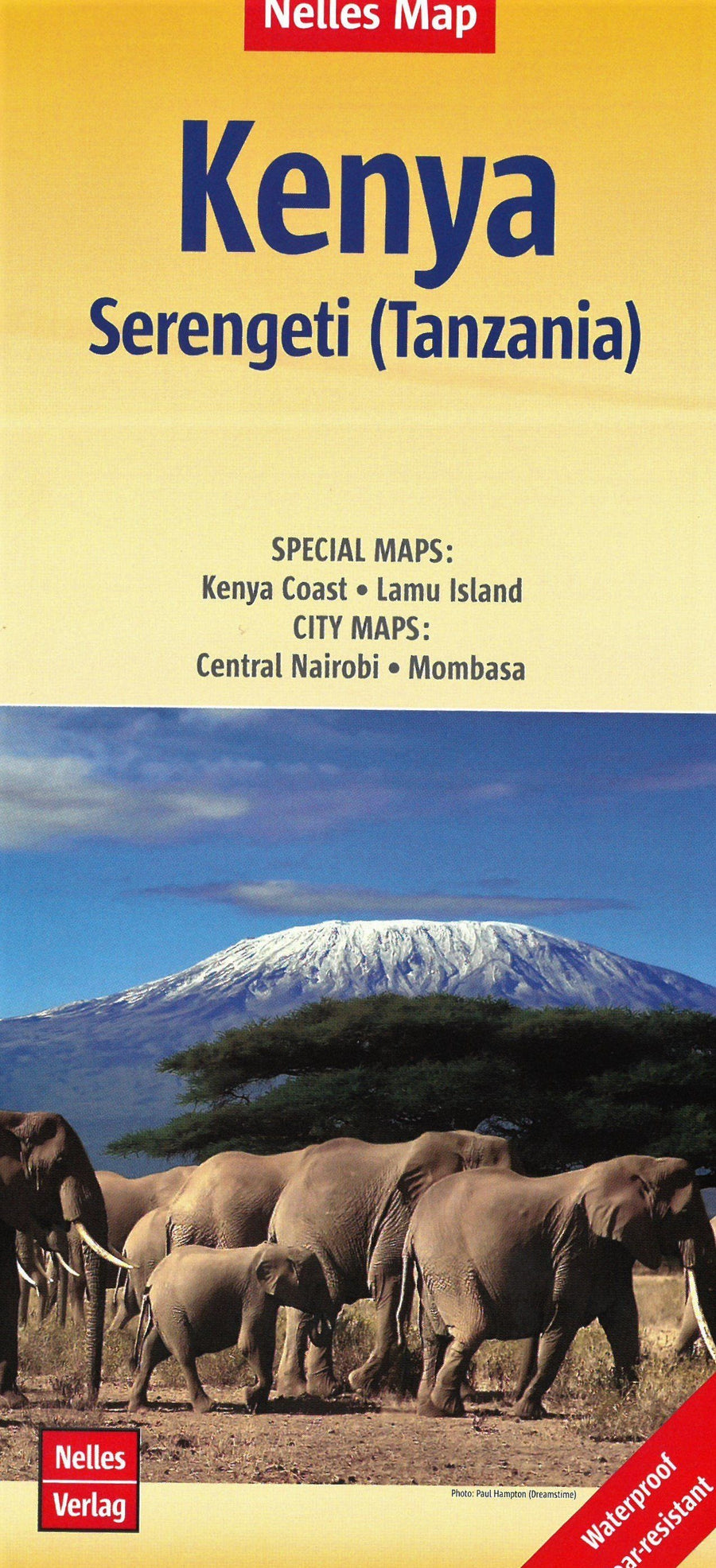
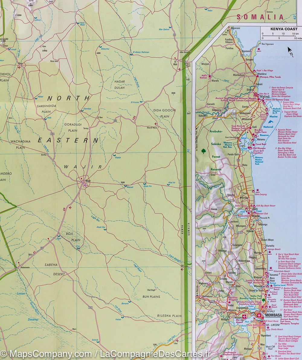
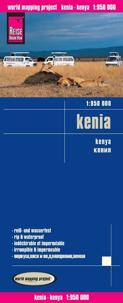
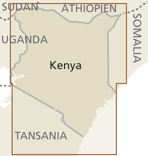
Kenya Road Map published by Freytag & Amp Berndt. Scale 1: 1,000,000. This map covers the entire Kenya. The southeastern part of the coast around Mombasa and Malindi is in an inset, with the east and west parts of Tsavo National Park and the Border Region of Tanzania (with Kilimanjaro).

Mapping of the ground. Enhancement of points of interest. Distances shown on the map. Index of cities included.

Multilingual legend (French, English, German, Italian, Spanish ...).


ISBN/EAN : 9783707914108
Publication date: 2012
Scale: 1/1,000,000 (1cm=10km)
Printed sides: front
Folded dimensions: 26x13cm
Unfolded dimensions: 125 x 95cm
Language(s): multilingual including French
Poids : 110 g

Customer Reviews

Based on 2 reviews
50%
(1)
0%
(0)
50%
(1)
0%
(0)
0%
(0)
L
Loic L. (Gujan-Mestras, FR)
Moins bien que la carte IGN

J'ai acheté les 2 cartes , celle-ci et celle d'IGN.
Cette dernière est bien plus pertinente et détaillée

P
Patrick
Bonne Carte, mise a jour récente ...

Bonne Carte, mise a jour récente