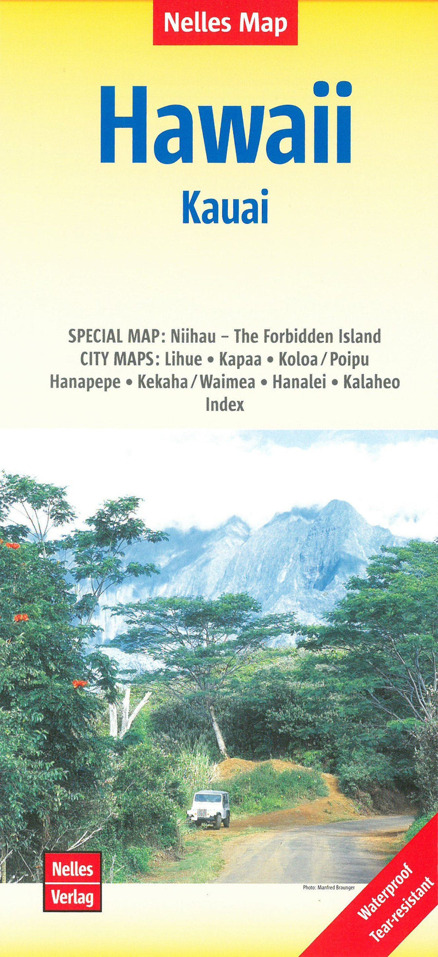
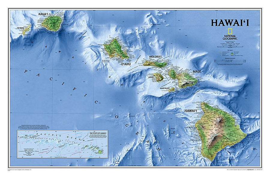
Detailed map of Kauai Island published by Nelles Map. Cartography of the relief indicated on this road map. In Inset, the detailed map of Niihau "The forgotten island" and the plans of Lihue, Kapaa, Koloa / Poipu, Hanapepe, Kekaha / Waimea, Hanalei, Kalaheo and an index.
This map is waterproof and resistant to the tear. Scale 1 / 150,000 (1 cm = 1.5 km)
ISBN/EAN : 9783865740762
Publication date: 2019
Scale: 1/150,000 (1cm=1.5km)
Printed sides: both sides
Folded dimensions: 12 x 25.5 x 0.7cm
Unfolded dimensions: 67cm x 50cm
Language(s): French, English, German
Poids :
50 g