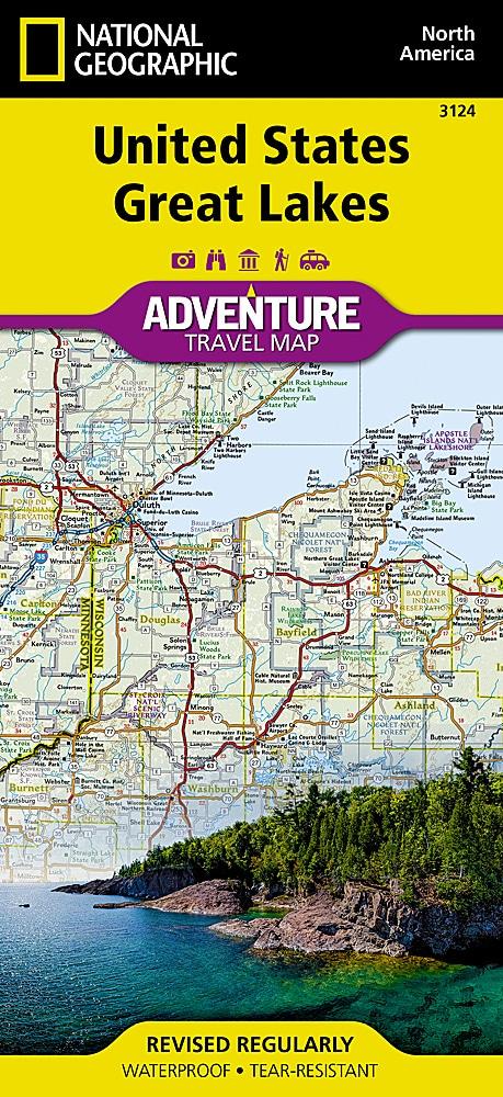
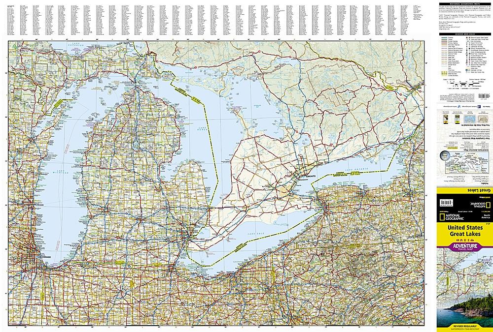
Road map of the Great Lakes region (between the United States and southern Canada) published by ITM.
Relief mapping, main distances indicated.
This road map covers Lakes Ontario and Erie, Huron and Superior, and allows you to visit Ottawa and Toronto, Chicago, and Duluth. It extends from Ottawa to Pittsburgh and Columbus (north to south) and to Duluth and Thunder Bay (west). A city index is included with this detailed map.
ISBN/EAN : 9781771293280
Publication date: 2025
Scale: 1/1,000,000 (1cm=10km)
Printed sides: both sides
Folded dimensions: 24.6 x 10.3 x 0.5cm
Unfolded dimensions: 100 x 69cm
Language(s): English
Weight:
50 g


