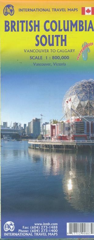
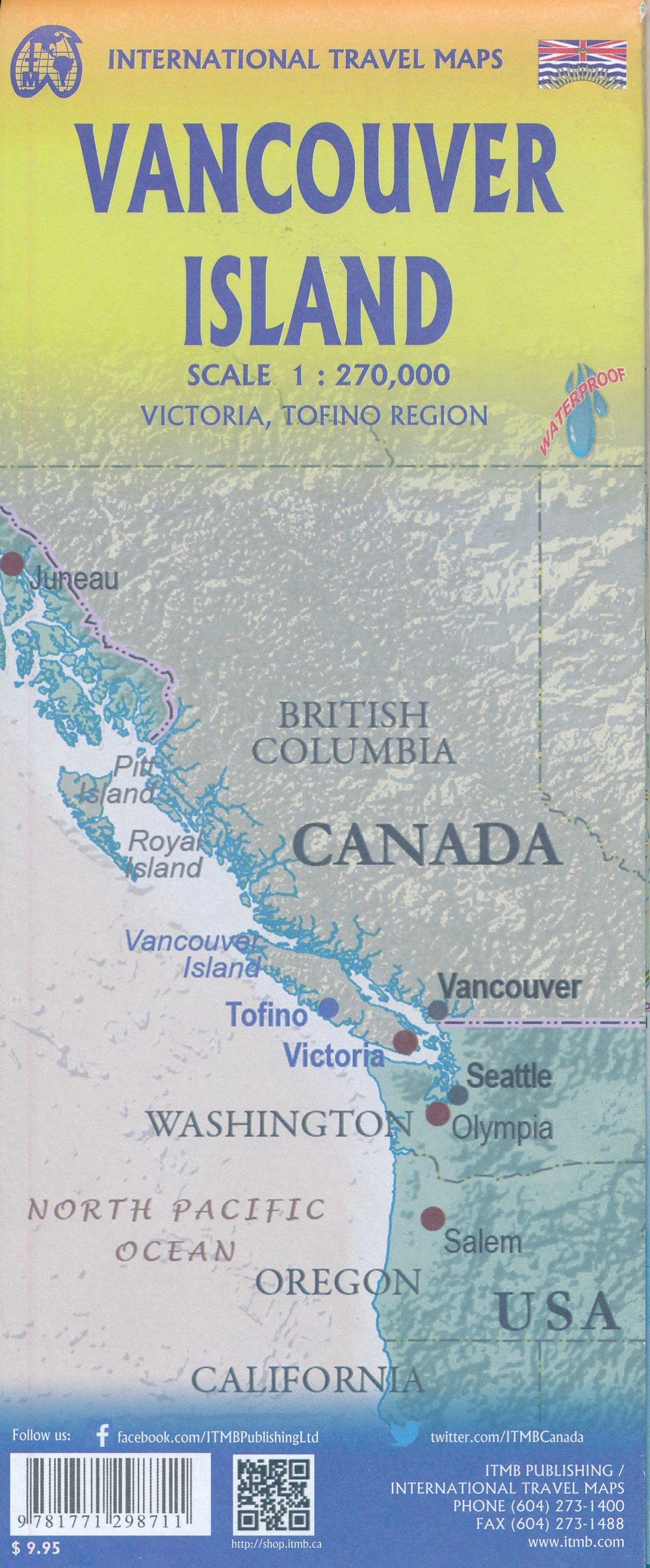
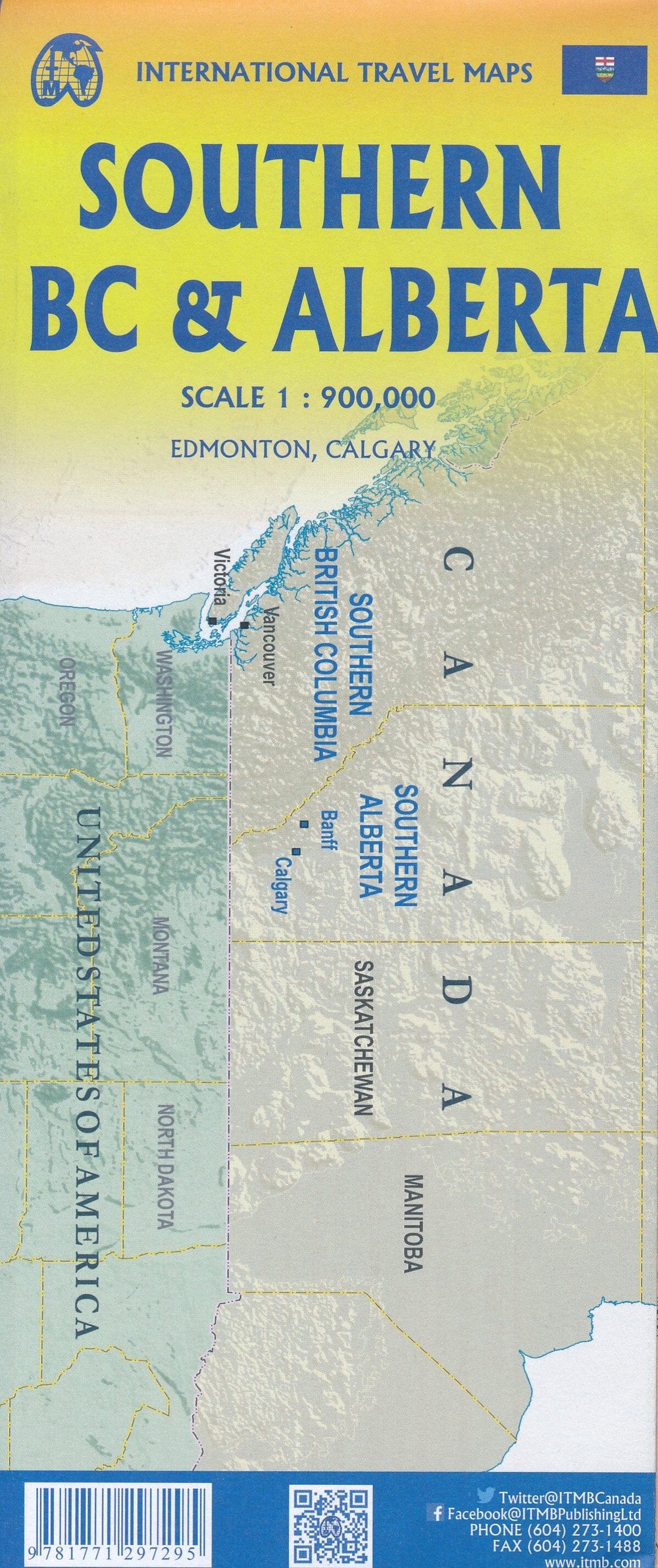
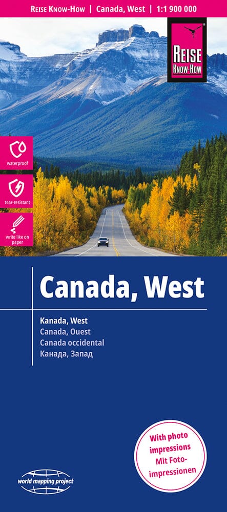
waterproof road map from the southern British Columbia published by ITM. This map covers the region between Vancouver and Calgary: this is the ideal tourist map for exploring the Rocky Mountains. All roads and railway lines between the two cities are presented, as well as campgrounds, national parks etc.
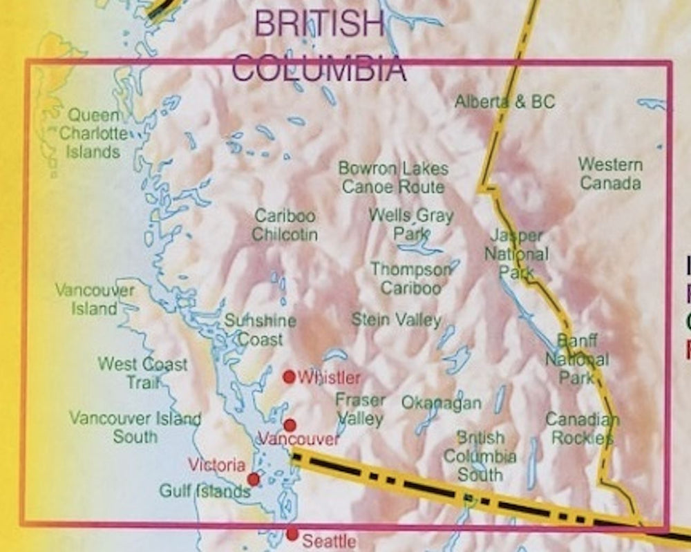
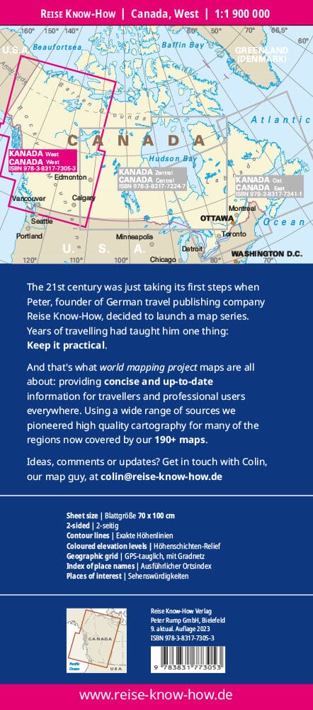
This detailed map extends from Calgary (east) to Vancouver (west) and Queen Charlotte Islands (north) at the US border (south) and includes the island of Vancouver.
Detailed plans for Vancouver and Victoria centers and cartography included. Index of cities.
ISBN/EAN : 9781771290883
Publication date: 2018
Scale: 1/800,000 (1cm=8km)
Printed sides: both sides
Folded dimensions: 24.6 x 10.3 x 0.5cm
Unfolded dimensions: 68x100cm
Language(s): English
Weight:
51 g


