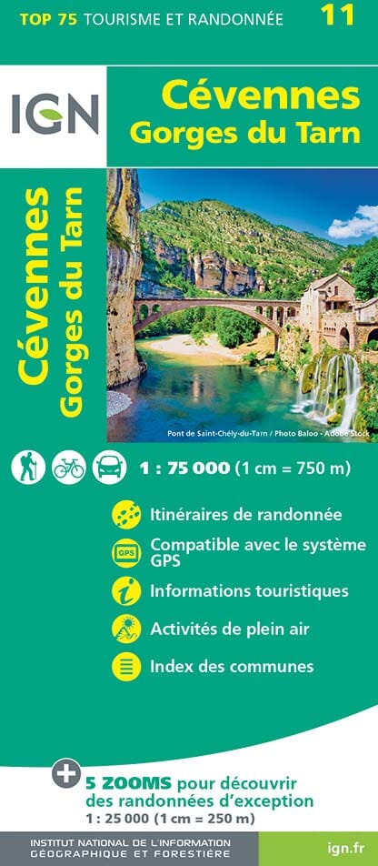
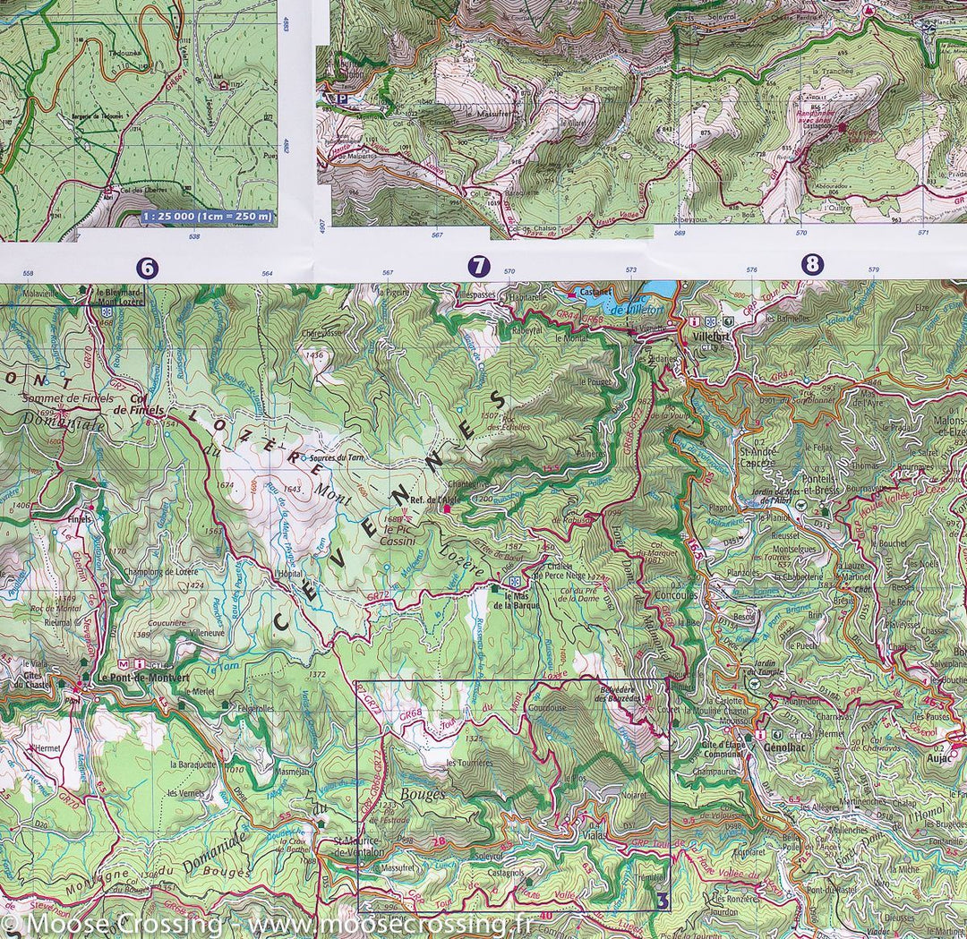
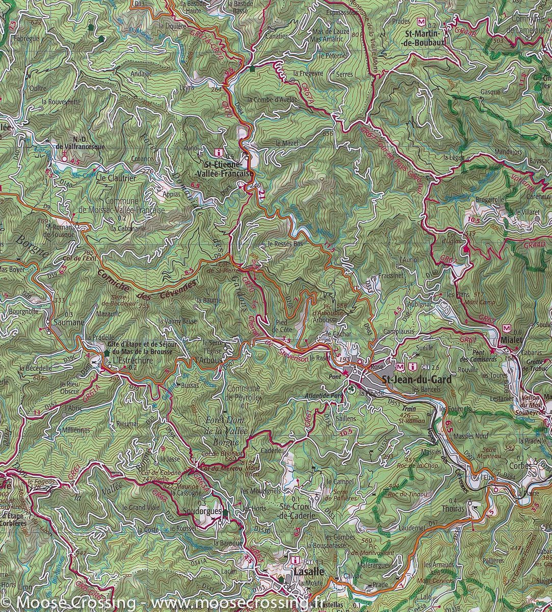
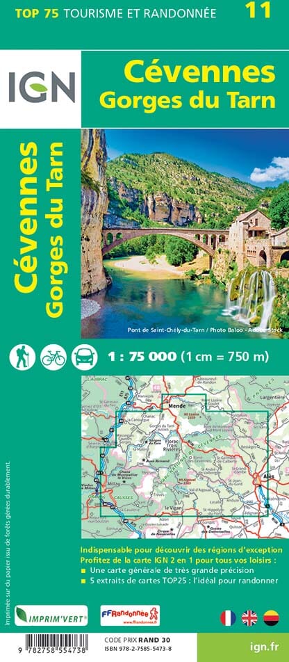
Carte TOP 75 n° 11 - Cévennes et Gorges du Tarn | IGN carte pliée IGN
Carte IGN TOP 75 n° 11 - Cévennes et Gorges du Tarn carte pliée IGN

IGN Map Top 75 # 11 - Cevennes and Gorges du Tarn

IGN Map Top 75 # 11 - Cevennes and Gorges du Tarn

Regular price $11.00
/
  • Shipping within 24 working hours from our warehouse in France
  • Delivery costs calculated instantly in the basket
  • Free returns (*)
  • Real-time inventory
  • In stock, ready to ship
  • Backordered, shipping soon
Tax included.
Top 75 topographic map of the Cevennes, and Tarn Gorges edited by IGN. This detailed map covers the region between Mende and Vigan (from north to south) and Millau to Alès (from West East). Level curves, detailed legend and indication of hiking trails. Index of cities. Scale 1/75 000 (1 cm = 750 m). This map also includes 5 zooms on a scale 1 / 25,000 to discover exceptional hikes.


ISBN/EAN : 9782758554738
Publication date: 2023
Scale: 1/75,000 (1cm=750m) & 1/25,000 (1cm=250m)
Printed sides: front
Folded dimensions: 24.6 x 11.2 x 0.7cm
Unfolded dimensions: 130 x 100cm
Language(s): French, English, German
Poids : 90 g

Customer Reviews

Based on 1 review
100%
(1)
0%
(0)
0%
(0)
0%
(0)
0%
(0)
I
ISABELLE B. (Le Soler, FR)
Produit conforme à ma commande

Produit conforme à ma commande.
Expédition rapide et emballage soigné.
Je recommande la compagnie des cartes.