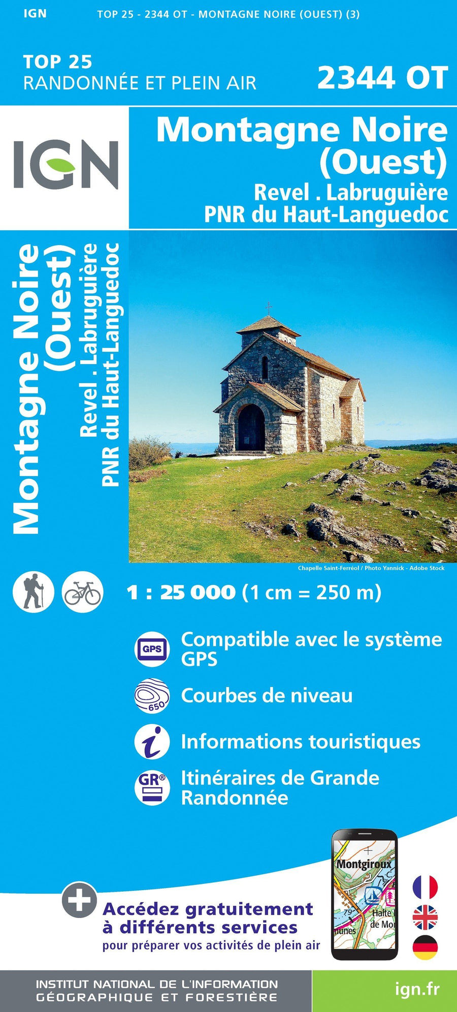
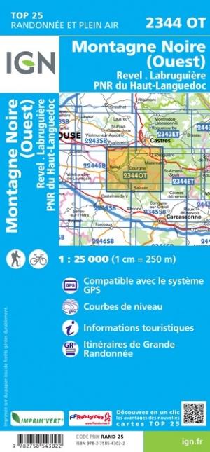
Carte TOP 25 n° 2344 OT - Montagne Noire (ouest), Revel. Labruguière & Parc Régional du Haut Languedoc | IGN carte pliée IGN

Top 25 # 2344 OT - Black Mountain (West), Revel. Labruguer & Regional Park of Haut Languedoc | IGN

Top 25 # 2344 OT - Black Mountain (West), Revel. Labruguer & Regional Park of Haut Languedoc | IGN

Regular price $16.00
/
  • Shipping within 24 working hours from our warehouse in France
  • Delivery costs calculated instantly in the basket
  • Free returns (*)
  • Real-time inventory
  • Low stock - 1 item left
  • Backordered, shipping soon
Tax included.
Topographic Map top 25 of the black mountain (west) edited by IGN. Covers a part of the Regional Park of Haut Languedoc. Hiking Map with space curves spaced 10 meters and detailed legend (vegetation, rocks, streams etc ...). Indication of hiking trails. Scale 1/25 000 (1 cm = 250 m).


ISBN/EAN : 9782758543022
Publication date: 2019
Scale: 1/25,000 (1cm=250m)
Printed sides: front
Folded dimensions: 23.6 x 11.2 x 0.5cm
Unfolded dimensions: 96 x 132cm
Language(s): French, English, German
Poids : 89 g

Customer Reviews

No reviews yet
0%
(0)
0%
(0)
0%
(0)
0%
(0)
0%
(0)