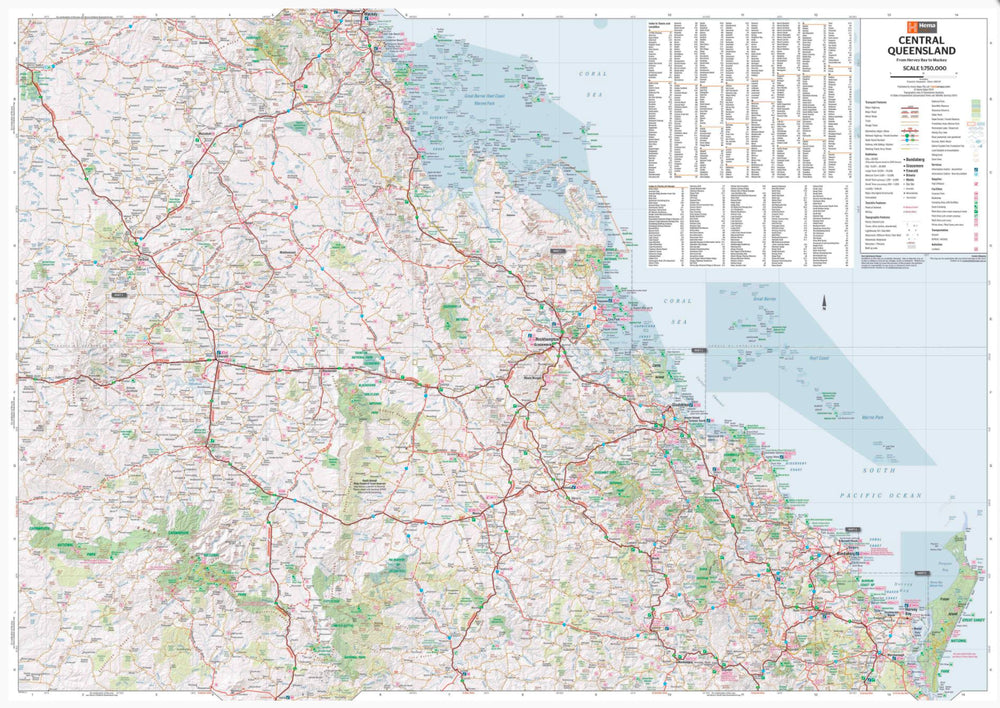
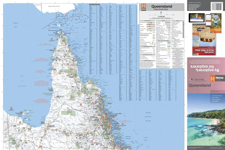
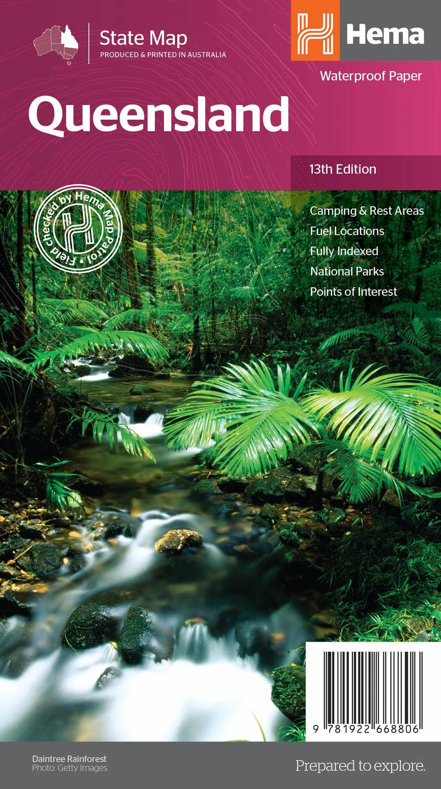
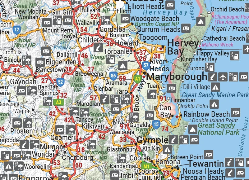
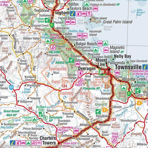
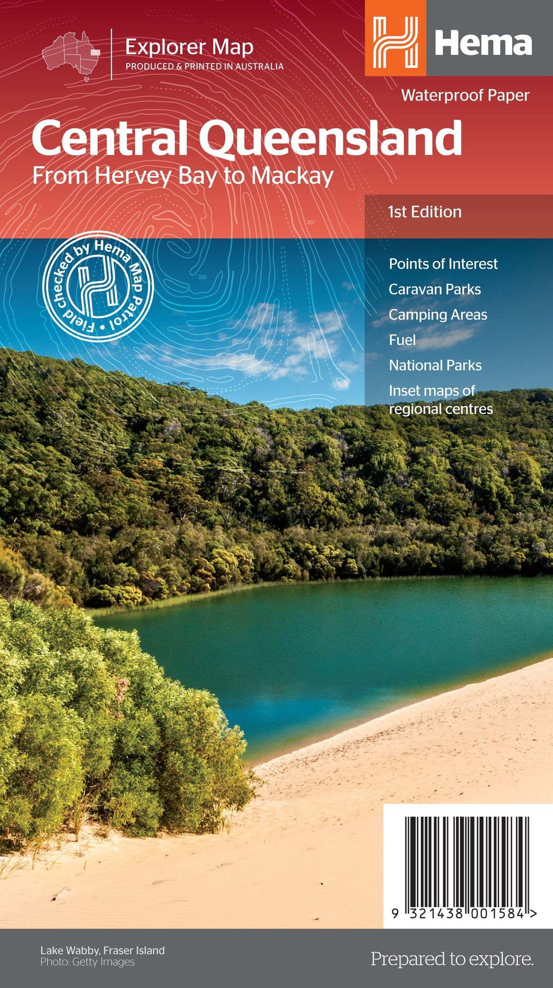
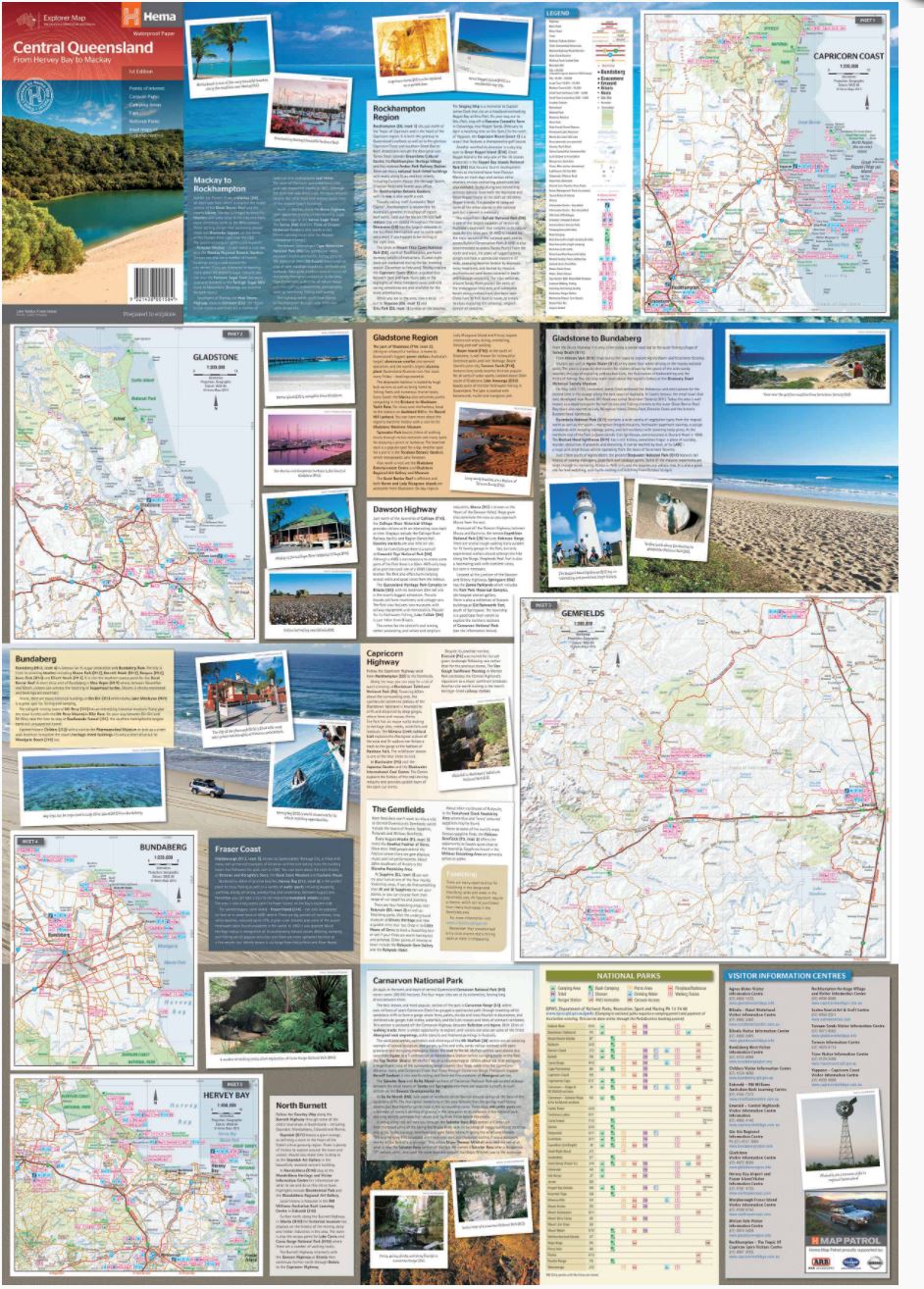
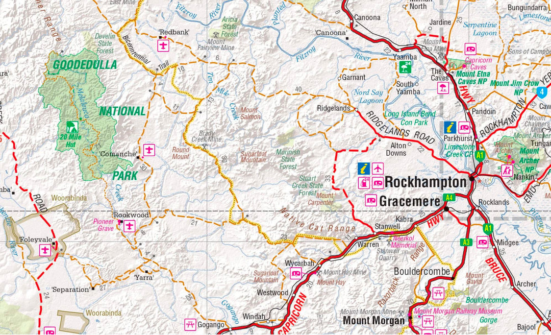
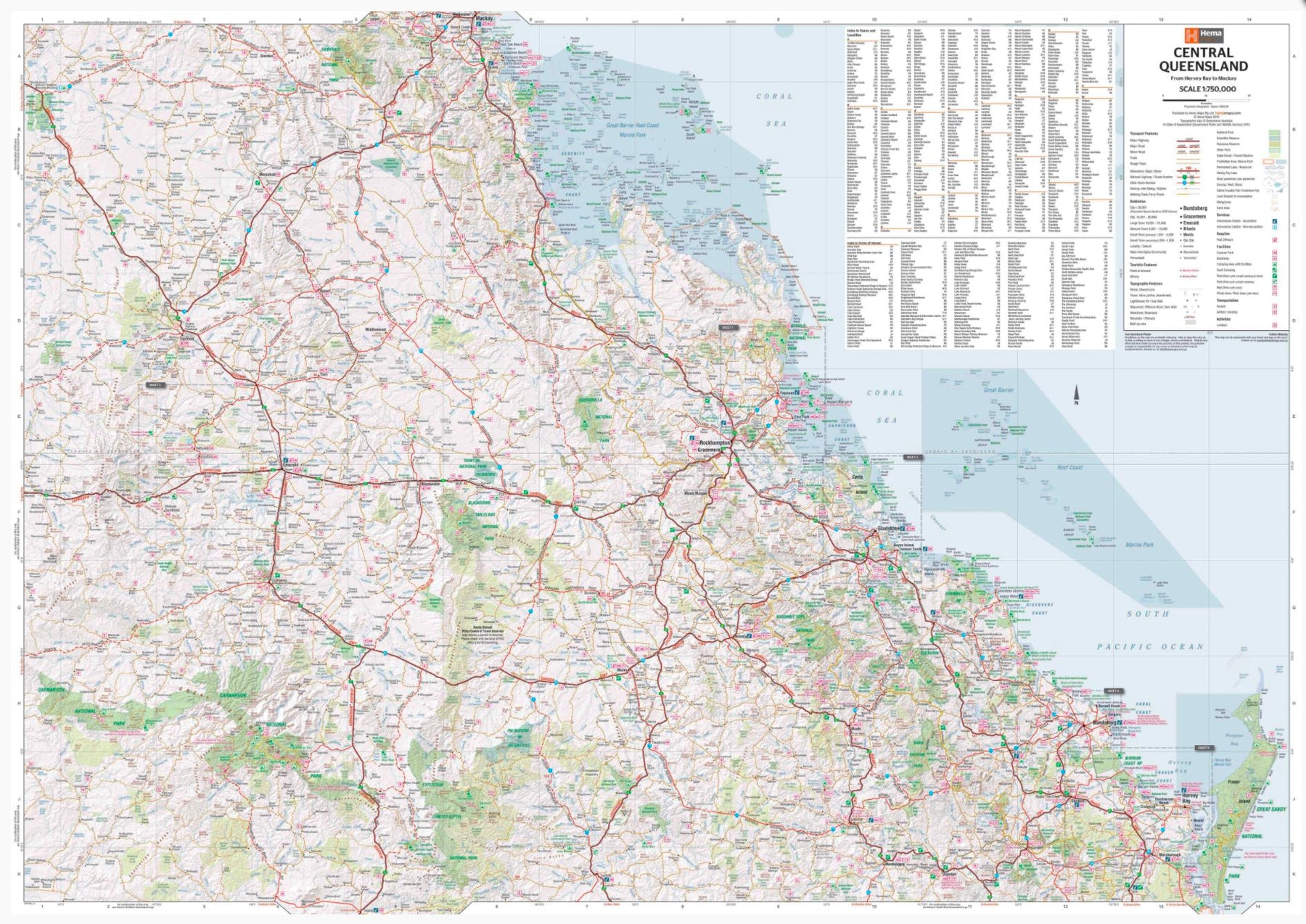
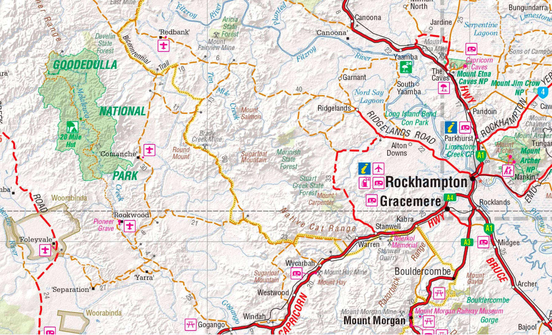
Carte routière - Queensland Central (Australie) | Hema Maps carte pliée Hema Maps

Road Map - Central Queensland (Australia) | Hema Maps

Road Map - Central Queensland (Australia) | Hema Maps

Regular price $16.00
/
  • Shipping within 24 working hours from our warehouse in France
  • Delivery costs calculated instantly in the basket
  • Free returns (*)
  • Real-time inventory
  • In stock, ready to ship
  • Backordered, shipping soon
Tax included.

Waterproof road map of the central part of Queensland.

A regional map of the Queensland Center (1: 1,000,000) extending inside the land after Jericho and Maryborough south to MacKay north. On the back are tourist information about the area, as well as MacKay medallion maps, coast du Capricorn, Gladstone, Bundaberg, Rockhampton and Gemfields.

Photos as well as background and travel information on the region accompany each inset map for planisphere and tours.

The map includes:

  • main features
  • city and city maps in medallion
  • National Parks
  • Tourist information
  • camping and rest areas
  • distances and index tables.


ISBN/EAN : 9321438001584
Publication date: 2013
Scale: 1/1,000,000 (1cm=10km)
Printed sides: both sides
Folded dimensions: 23.3 x 14.3 x 0.3cm
Unfolded dimensions: 96 x 56cm
Language(s): English
Poids : 77 g

Customer Reviews

No reviews yet
0%
(0)
0%
(0)
0%
(0)
0%
(0)
0%
(0)