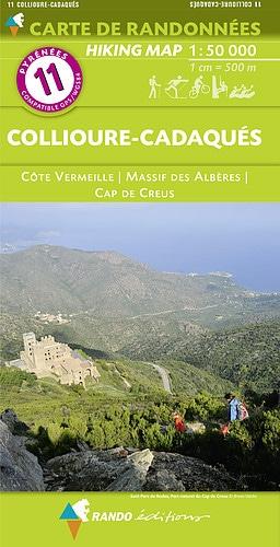
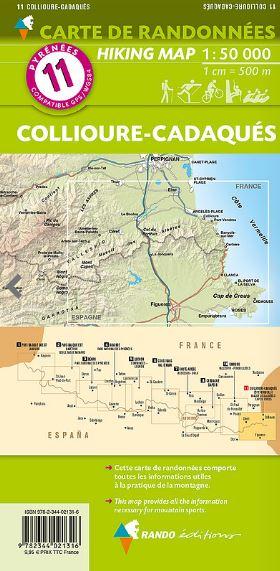
Detailed topographic maps published by Editorial Alpina covering Alt Empordà (Catalonia, Spain).
Area covered: Comarque of Alt Empordà located in the extreme north-east of Catalonia, in the province of Girona, bordering to the north with France.
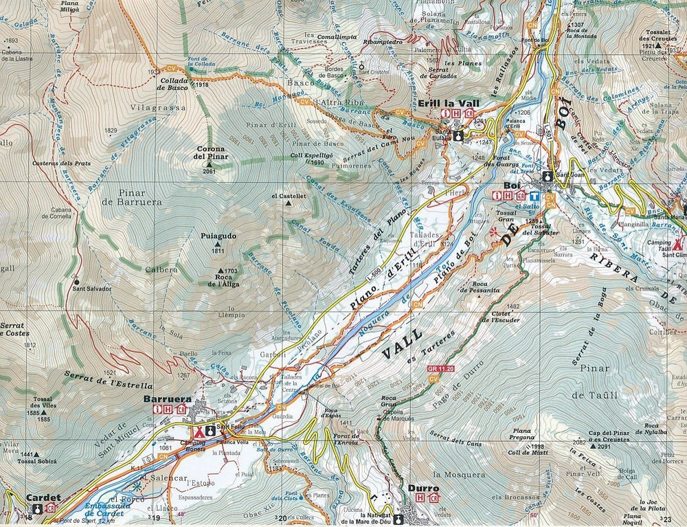
Characteristics of the maps: 2 maps at a scale of 1:50,000 with the entire network of marked paths and trails in the region: Itinerànnia, long-distance hiking trails: GR 1, GR 11, GR 92, GR 2 and GR 10 on the slope French ; part of the route to Santiago de Compostela and the routes of the Cap de Creus natural park. They also integrate ethnological elements such as dolmens, elements of cultural interest and services.
The foldable flap includes:
• Long-distance hiking trails
• Unmissable sites
• Geographic information
ISBN/EAN : 9788470111174
Publication date: 2024
Scale: 1/50,000 (1cm=500m)
Printed sides: front
Folded dimensions: 21 x 11.5 x 1cm
Unfolded dimensions: 100x70cm
Language(s): French, English, Castilian, Catalan
Weight:
152 g


