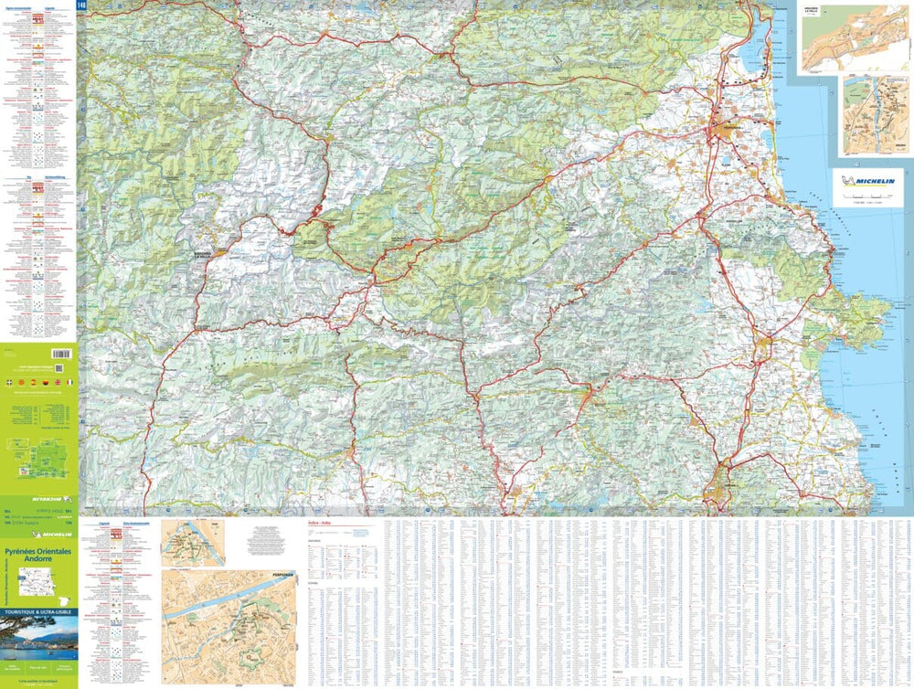
Carte de randonnée - Andorre (Pyrénées) | Alpina carte pliée Editorial Alpina

Hiking Map - Andorra (Pyrenees) | Alpina

Hiking Map - Andorra (Pyrenees) | Alpina

Regular price $17.00
/
  • Shipping within 24 working hours from our warehouse in France
  • Delivery costs calculated instantly in the basket
  • Free returns (*)
  • Real-time inventory
  • In stock, ready to ship
  • Backordered, shipping soon
Tax included.

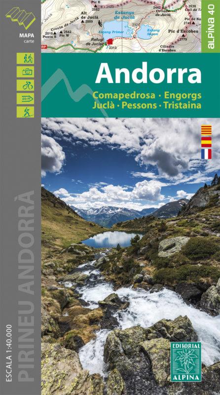
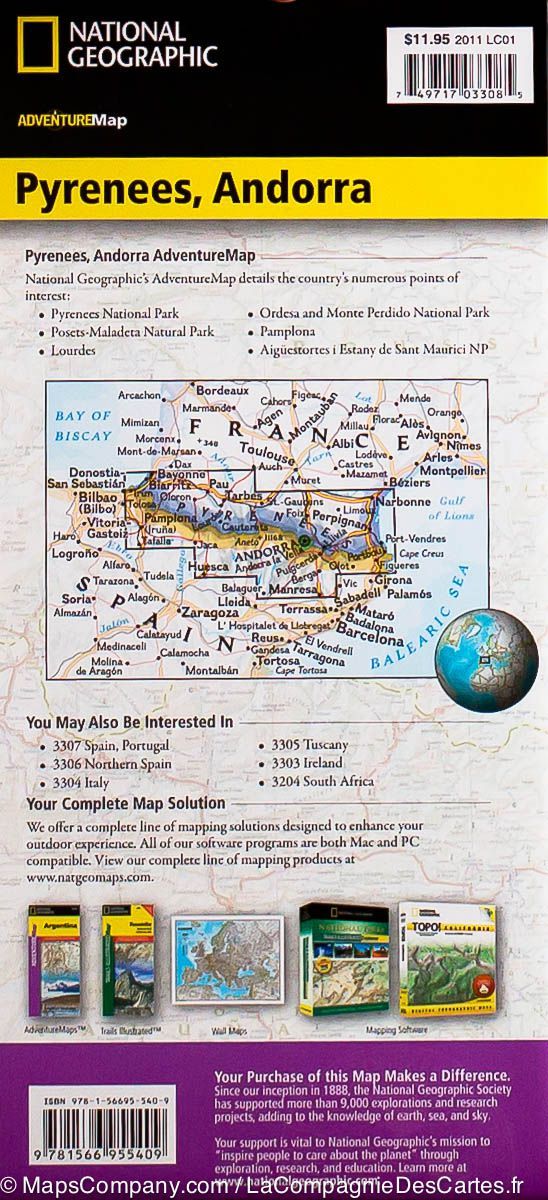
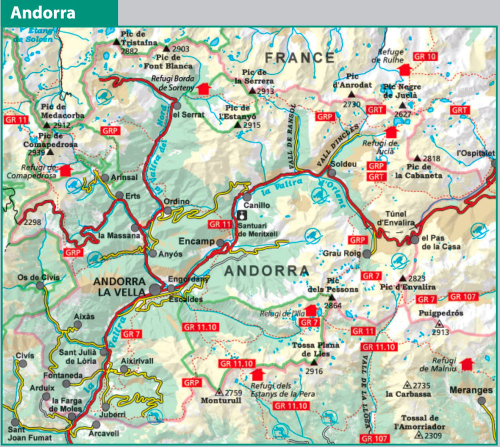
Topographic Map of part of Andorra (Comapedrosa, Engorg, Juclar, Pessons, Tristaina).

Map sector: Principality of Andorra and its mountainous environment bordering Cerdagne, Alt Urgell, Pallars Sobirà and Ariège.

The detailed map is in color with the Shelters, the marked trails (GR, local trails), trails mountain, etc.

The map is accompanied by a folder that includes the following information (in French, Catalan, Castilian): • Refuges kept
• Information and tourism • Top17: points of interest.


ISBN/EAN : 9788480908429
Publication date: 2020
Scale: 1/40,000 (1cm=400m)
Printed sides: front
Folded dimensions: 21 x 11.5 x 1cm
Unfolded dimensions: 98 x 68cm
Language(s): French, Catalan, Castilian
Poids : 163 g

Customer Reviews

Based on 10 reviews
70%
(7)
0%
(0)
20%
(2)
0%
(0)
10%
(1)
M
Michel-Philippe P. (Canet-en-Roussillon, FR)
excellente

bonne présentation, facile à utiliser : bonne topographie, bonne différenciation par les couleurs apportées

C
Christophe C. (Gelos, FR)
Un bel outil

Très bon produit comme d'habitude. Carte topographique toujours très bien faite et précise. Avec la liste des refuges. Merci

B
Bénédicte D. (Warmeriville, FR)
Tromperie sur le delai de livraison

Indiqué : en stock et expédition sous 24h...indication mensongère : la carte est arrivée 12 jours plus tard et après notre randonnée, super !

M
MENARD M. (Bergerac, FR)
LA BONNE ECHELLE

Cette carte m'a accompagnée pendant un séjour de 4 jours de randonnées dans le massif pyrénéen et a répondu à mes attentes.
Je recommande ce produit à qui sait lire une carte topographique.

B
Bernard C.
Carte Andorre

Le produit correspond à mes attentes.
Généralement on trouve toujours ce que l’on cherche en matière de cartes ou de topos à la Compagnie des Cartes.
Je recommande.