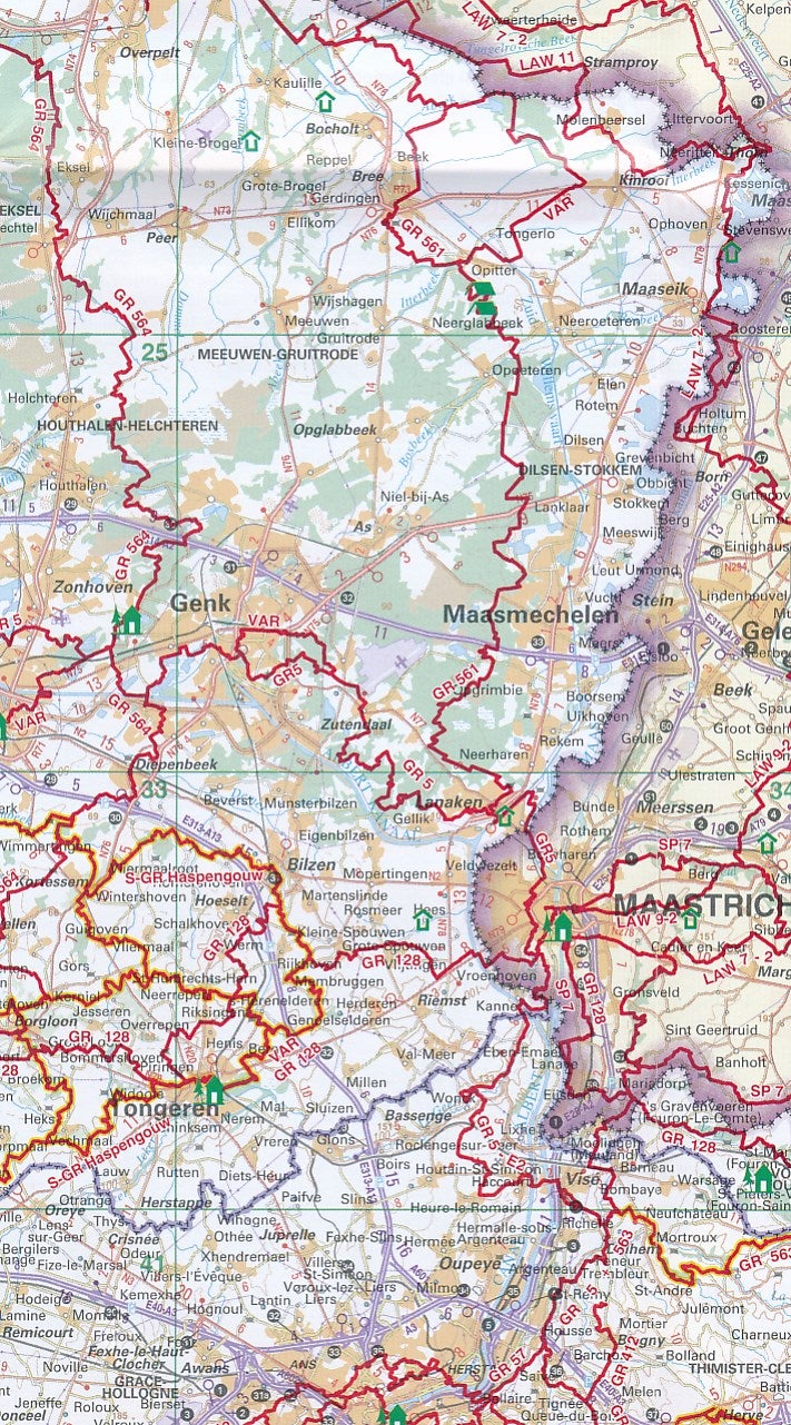
Published by the National Geographic Institute (NGI) in collaboration with Sentiers de Grande Randonnéé (SGR) and Grote Routepaden, the map shows all the GRs that cross Belgium, approximately 40 or 8,000 km of hiking trails. The map also contains an overview of all the associated guidebooks. You will also find all the youth hostels and nature-friendly houses.
The map is not intended to help you find your route during your hikes, but to serve as a guideline when preparing and planning your tour. For clear information during the visit, it is necessary to refer to the accompanying guidebooks.
ISBN/EAN : 9789462355774
Publication date: 2021
Scale: 1/300,000 (1cm=3km)
Folded dimensions: 12 x 23cm
Language(s): French, Flemish
Weight:
50 g


