Road & Leisure map - Land of Carinthia (Austria) | Freytag & Berndt

Price
Regular price $14.00
Regular price Sale price $14.00
Save $-14
/
  • Shipping within 24 working hours from our warehouse in France
  • Delivery costs calculated instantly in the basket
  • Free returns (*)
  • Real-time inventory
  • In stock, ready to ship
  • Backordered, shipping soon
Tax included.

Often purchased together:

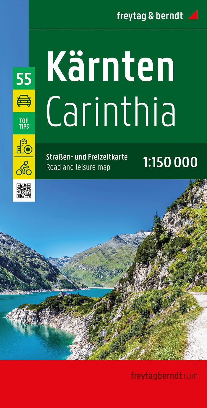
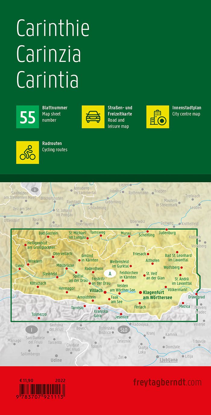
Carinthia Land Road map (southern Austria) edited by Freytag & Amp Berndt. Mapping the French, French, German and Italian, distances and legend. This detailed carinthia map includes a notebook with a cities index and postal codes, the plans of several cities including Villach, Klagenfurt and Friesach as well as information on 10 tourist attractions in this region of Austria. Scale 1/150 000 (1 cm = 1.5 km).


ISBN/EAN : 9783707921113
Publication date: 2022
Scale: 1/150,000 (1cm=1.5km)
Printed sides: front
Folded dimensions: 25.5 x 13 x 0.8cm
Unfolded dimensions: 125 x 74cm
Language(s): multilingual including French
Weight: 110 g

Customer Reviews

Based on 1 review
100%
(1)
0%
(0)
0%
(0)
0%
(0)
0%
(0)
M
MICHELE
Je cherchais une carte précise de c ...

Je cherchais une carte précise de ce land autrichien et je l'ai trouvée! Elle convient aux automobilistes, aux cyclistes et indique aussi quelques chemins de randonnée pédestre . A la carte est joint un carnet répertoriant les sites remarquables, les itinéraires cyclotouristes, les plans des villes essentielles. Détaillée et facile à lire. Je recommande les éditions Freytag.