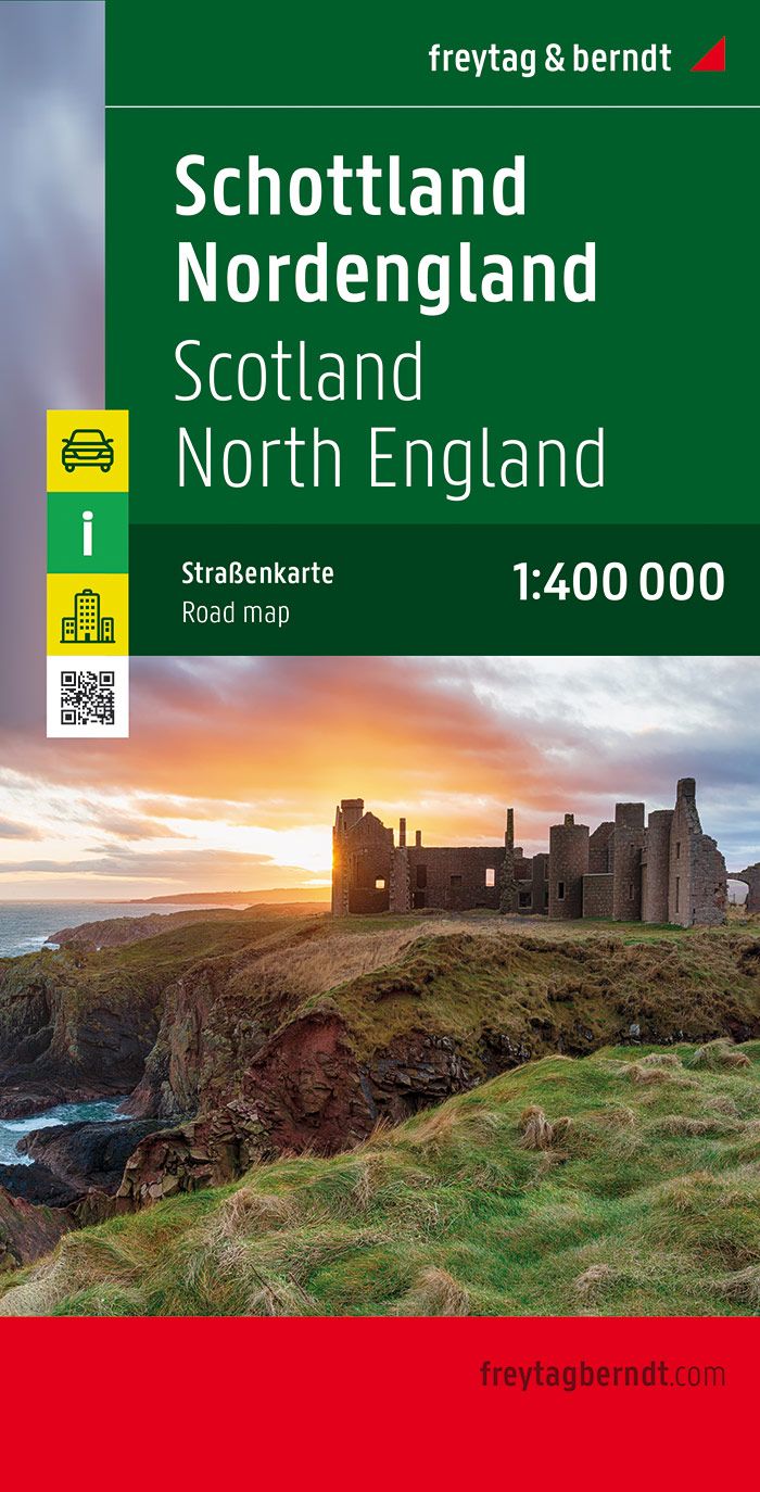
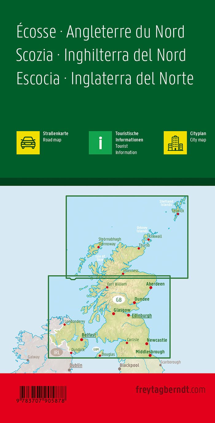
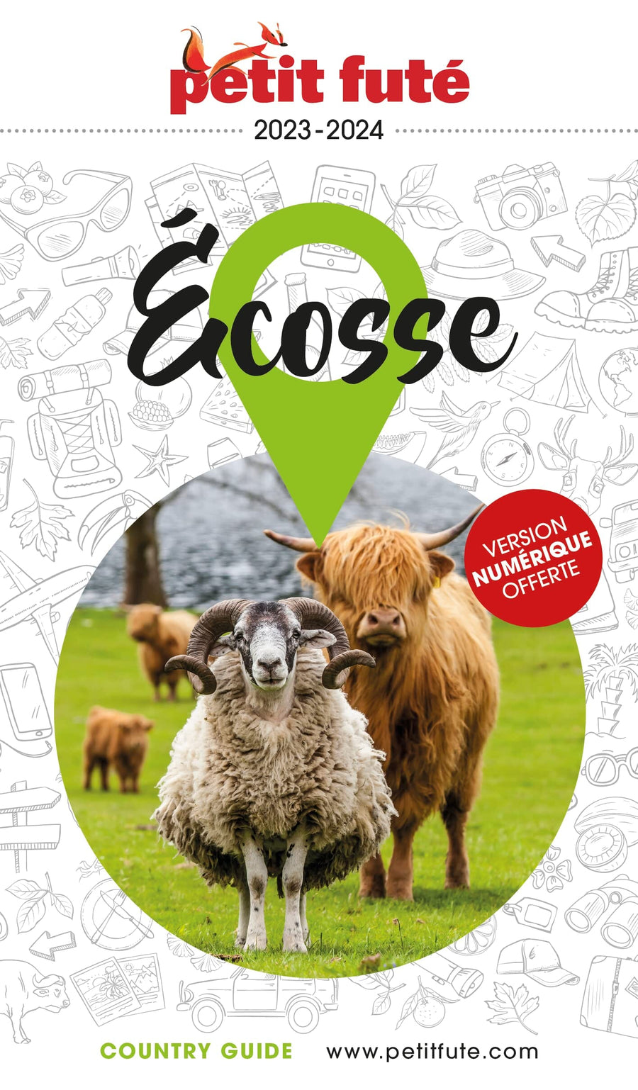
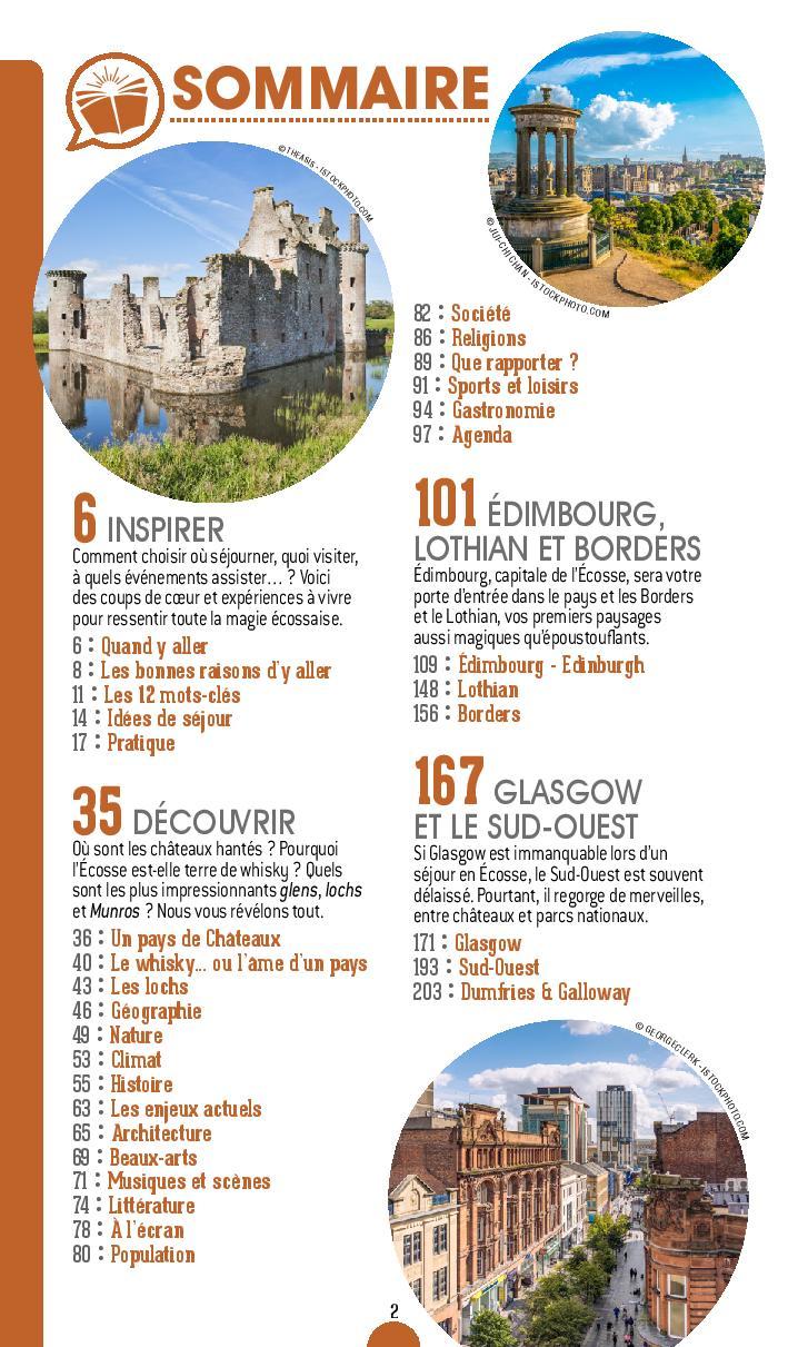
Map of Scotland and Northern England published by Freytag & Amp Berndt. Relief mapping. This Road map also indicates national parks and protected areas.
Scale 1/400 000 (1 cm = 4 km).
ISBN/EAN : 9783707905878
Publication date: 2017
Scale: 1/400,000 (1cm=4km)
Printed sides: both sides
Folded dimensions: 25.6 x 13 x 0.8cm
Language(s): multilingual including French
Weight:
144 g


