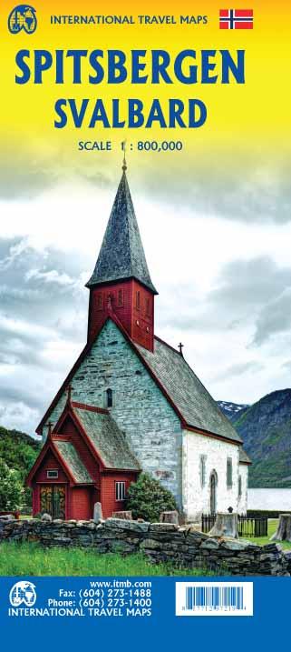
One of the rare Spitzberg maps!
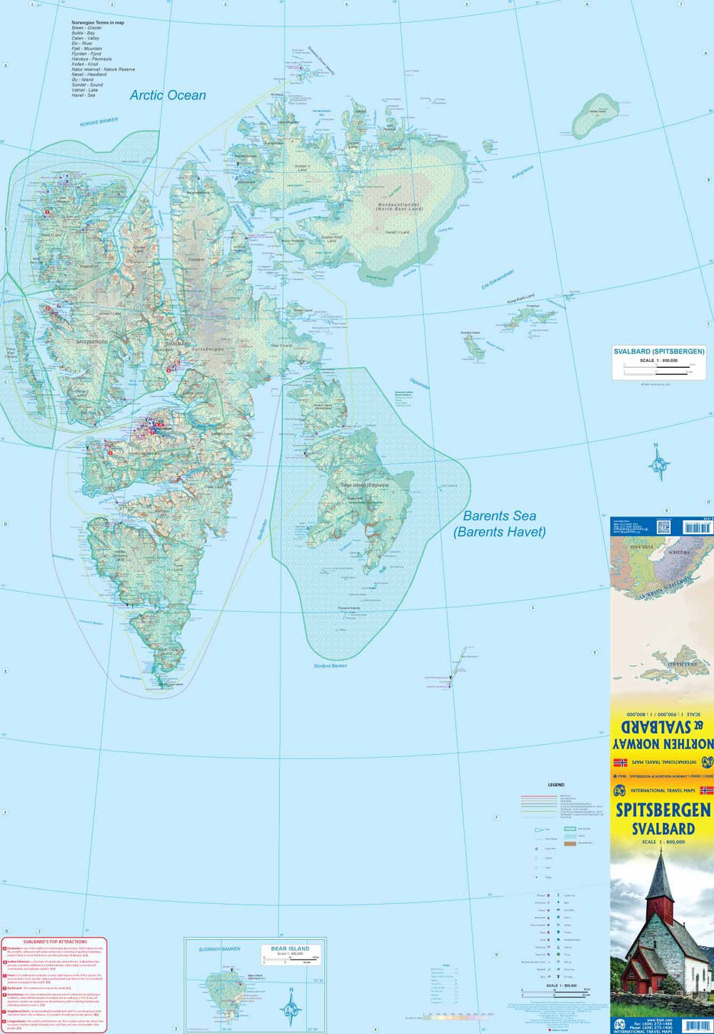
The front shows the different islands as an entity. It is a real adventure journey in the extreme Arctic We do not come here without preparation! Most islands are uninhabited and widely covered with ice. Edge Island, for example, is a large Nature Reserve and Prins Karl Forland is a national park.
The names of the terrestrial zones are in English with Norwegian names in parentheses to the extent possible to facilitate local use.
The back of the map is also particularly interesting. He focuses on the extreme north of Norway, from Bodo to Nordkapp and east to the Norway border with Russia. The northernmost part of Sweden and Finland are also included, but the map really emphasizes the width of Norway.
The railway lines, and there are some, are represented with a red / white line going to Narvik (from Sweden) and Bodo (from Oslo).
The legend includes: Museums, Lighthouses, Information Center, Aéoports, Positions, Schools, Points of Interest, Restaurants. Ports, police station etc.
ISBN/EAN : 9781771297219
Publication date: 2020
Scale: 1/800,000 (1cm=8km)
Printed sides: both sides
Folded dimensions: 24.6 x 10.3 x 0.5cm
Unfolded dimensions: 100 x 69cm
Language(s): English, Norwegian
Weight:
52 g


