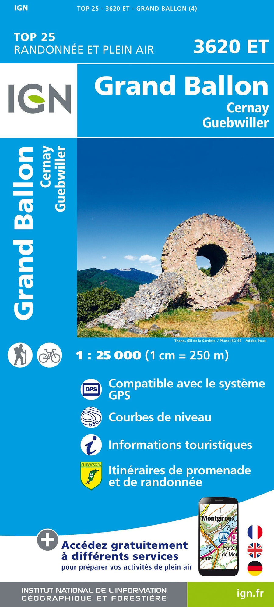
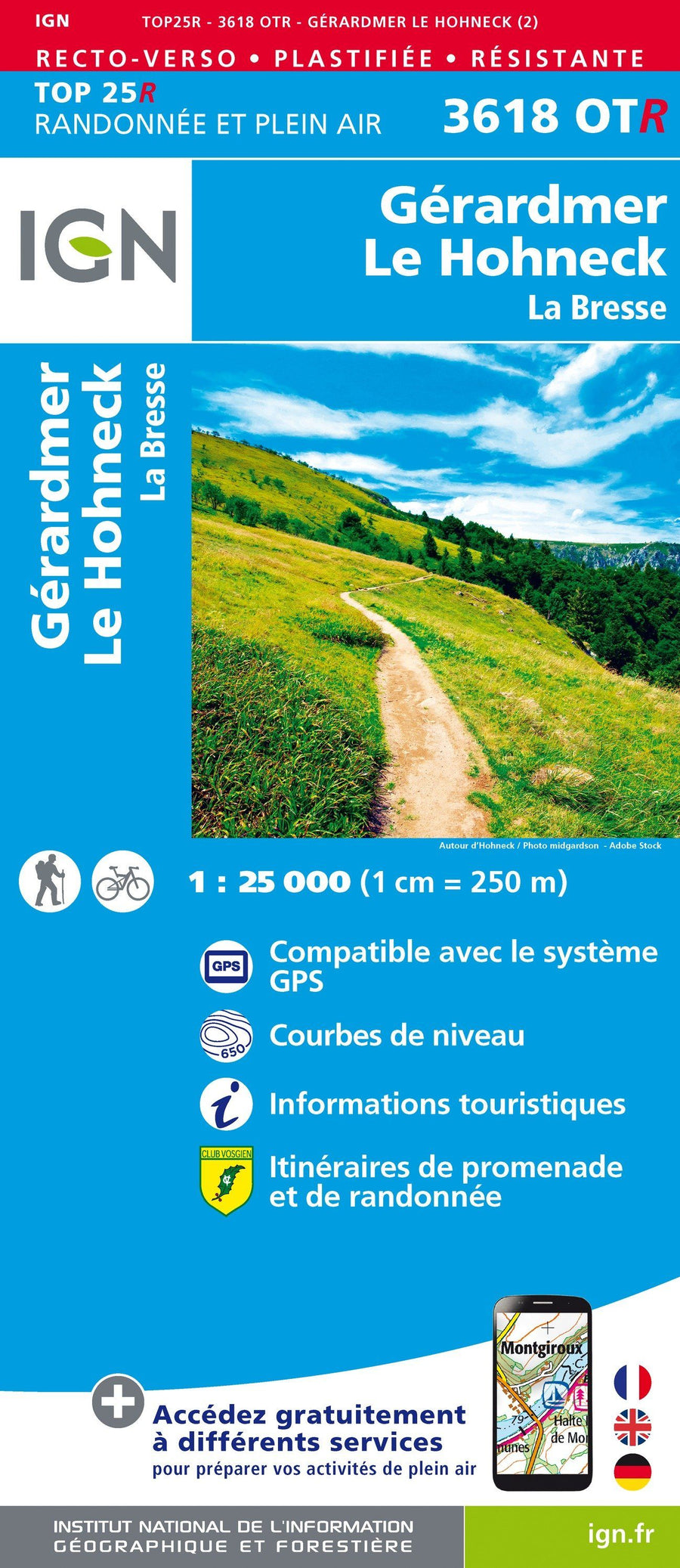
Detailed map - Crossing the Vosges mountains | IGN
Regular price
$12.00
Regular price
Sale price
$12.00
Save $-12
/
- Shipping within 24 working hours from our warehouse in France
- Delivery costs calculated instantly in the basket
- Free returns (*)
- Real-time inventory
- In stock, ready to ship
Related geographic locations and collections: Ballons des Vosges Regional Nature Park, GR5 (GTA) : La Grande Traversée des Alpes (620 km), Massif of the Vosges, Vosges (department 88)